
Johnston Street Northeast in Christiansburg, Virginia
Johnston Street Northeast in Christiansburg is a residential street. It runs in a East direction starting from West Street Northeast and crosses Vine Street Northeast and ends at Hill Street Northeast. The nearest bus stop is Montgomery/Cambria Eastbound (about 600 m away).
- Road Type
- residential street
- Route
- east-west
Image
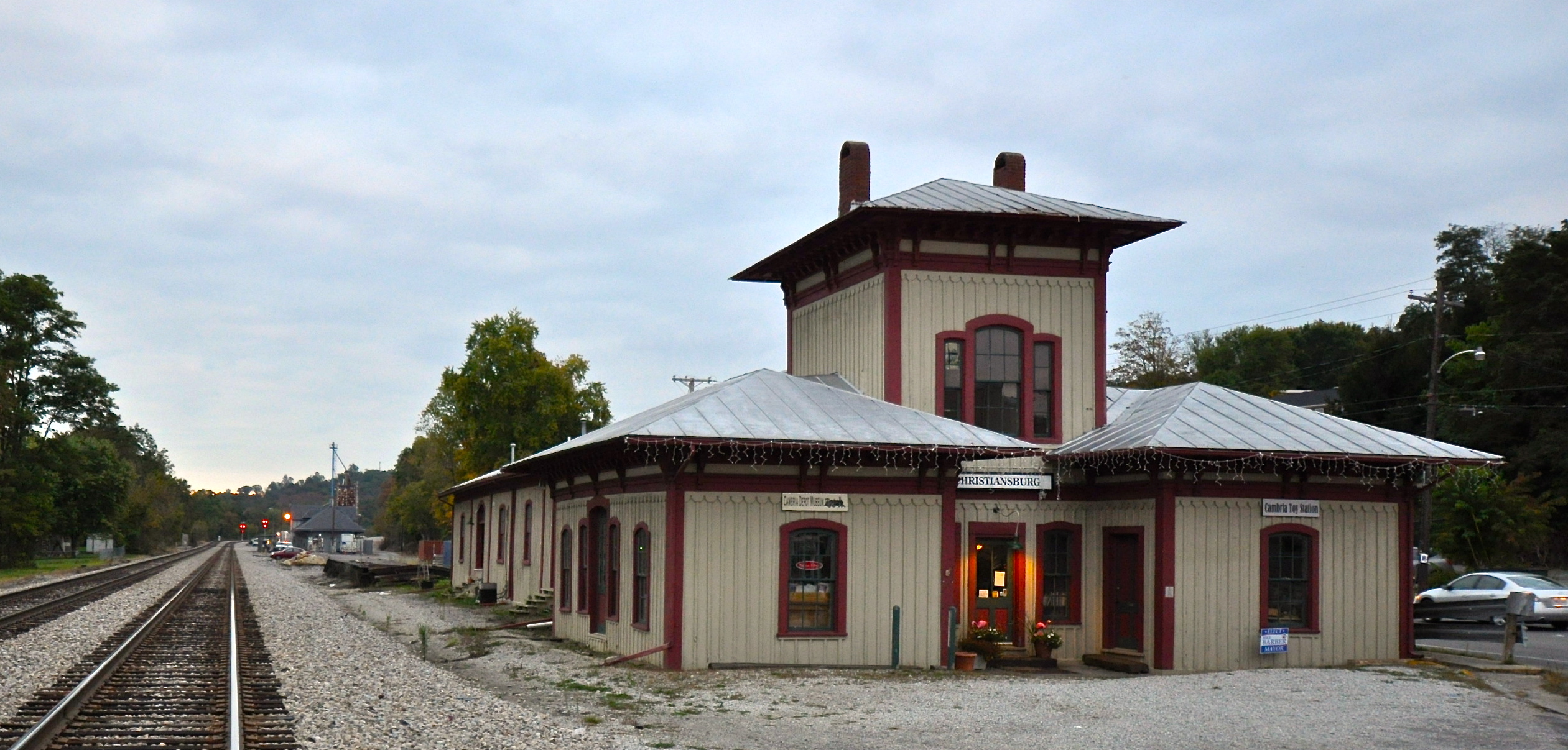
Antique stores
Convenience stores
Gas stations
Bus stops
Auto repair shops
Lighting stores
Clothing stores
Car washes
Courthouses
Streets nearby
North Drive Northeast250 ft
Vine Street Northeast250 ft
Harless Street Northeast300 ft
Hill Street Northeast300 ft
South Street Northeast400 ft
School Lane Northeast0.1 mi
West Street Northeast0.1 mi
High Street Northeast0.1 mi
East Main Street Northeast0.1 mi
School Lane0.2 mi
Sunnyside Lane Northeast0.2 mi
Forest Street Northeast0.2 mi
Schaeffer Drive Northeast0.2 mi
Schaeffer Street Northeast0.2 mi
Mchenry Avenue Northeast0.2 mi
Lewis Street Northeast0.2 mi
Wing Street Northeast0.3 mi
Station Lane Northeast0.3 mi
Colhoun Street Northeast0.3 mi
Hall Street Northeast0.3 mi
Holmes Street Northeast0.3 mi
Cambria Street NortheastCambria Station Antiques, Cambria/Progress Northbound, Cambria/Church Northbound, Cambria/Tyler Northbound, Habitat for Humanity ReStore, Pawn Plus
0.3 mi
Lester Street NortheastLester Place
0.3 mi
South Grant Street Northeast0.3 mi
Junkin Street Northeast0.3 mi
Collins Street Northeast0.3 mi
Wilson Street Northeast0.3 mi
Park Street Northeast0.3 mi
Bank Street Northeast0.4 mi
Forest Street0.4 mi
Montgomery StreetMontgomery/Cambria Eastbound, Mountain View Mercantile
0.4 mi
Lester Place Northeast0.4 mi
Charleston Lane Northeast0.4 mi
Craig Street NortheastEast Park Addition
0.4 mi
Ashby Street Northeast0.5 mi
Shops nearby
Blue Ridge Heating & Air0.3 mi
Chair Doctor0.4 mi
Buildings nearby
Cambria Freight Station0.3 mi
Christiansburg Station0.3 mi
Gillmann Services, Inc.0.4 mi
Guest houses nearby
The Oaks Victorian0.3 mi
Places of worship nearby
Schaeffer Memorial Baptist Church0.2 mi
Park United Methodist Church0.3 mi
Christiansburg Congregational Holiness Church0.4 mi
New River Valley Seventh-day Adventist Church0.4 mi
Cambria Pentecostal Holiness Church0.5 mi
Playgrounds nearby
Rosa L Peters Playground0.3 mi
Streams nearby
Town Branch0.3 mi
Crab Creek0.4 mi
Public transit map Christiansburg Legend
| Railway | |
| Bus | |
| Streetcar |
Bicycle map Christiansburg Legend
| Bike path | |
| Bike lane on roadway | |
| Cycling allowed on bus lane | |
| Bicycle street | |
| Open to cyclists | |
| Open to cyclists, good path | |
| Cycling prohibited | |
| Cobblestone |
| Long-distance bike route | (depending on scale) | |
| Long-distance bike route |
Pedestrian map Christiansburg Legend
| Path |
| Long-distance hiking trail | (depending on scale) | |
| Long-distance hiking trail | ||
| Pedestrians prohibited |