
Greenwood Drive in Danville, VA 24540
Greenwood Drive in Danville, VA 24540 (Pittsylvania County) is a residential street. It runs in a southeast-northwest direction and ends at Main Street, while the other end is a cul-de-sac. Greenwood Drive also exists in Petersburg, Lynchburg, Portsmouth, Loudoun County and Fairfax County.
- Road Type
- residential street
- Route
- southeast-northwest
Image
Streets nearby
Main StreetShannie's Bar and Grill, Gretna Tire, Saint Lukes Church
0.2 mi
Lakeside Drive0.3 mi
North Main StreetShelton Memorial Church, Church of Outreach Ministries, Good Eatz & Caribbean Treatz, First Pentecostal Holiness Church, Neapolis, North Main Church, North Main Baptist Church, Roman Eagle Rehabilitation and Health Care Center, The Church of Jesus Christ of Latter-day Saints welcome sign
0.4 mi
Falls Road0.4 mi
Tidewater Street0.4 mi
Ginger Road0.5 mi
North Davis Drive0.5 mi
North Pointe Lane0.5 mi
Mary Lane0.5 mi
Highland Boulevard0.5 mi
Niagara Court0.5 mi
Kennon DriveNorthbrook Park
0.5 mi
Hedrick Court0.5 mi
Pecan CourtWoodlake Park
0.5 mi
Beam Road0.5 mi
Berman Drive0.5 mi
Woodlake Drive0.6 mi
Piney Forest RoadPiney Forest Health & Rehabilitation Center, Papa John's, Family Health Care Center, KFC, Romi's Subs, Hardee's, Taco Bell, Pizza Hut, The Music Post, Valero, O’Kelly’s Deli, Captain Cook, Biscuitville, Ten 10, Diamond Nails, THE Dispensary, Ivan E Lazo MD, McDonald's, Exxon, Walgreens, Truist, Longs Alterations, CVS Pharmacy, Advance Auto Parts, Pure Gas, Pit Stop Mart, Ciro's Pizza, Boost Mobile, Walmart, Danville Fire Department Station 2
0.6 mi
Terry Avenue0.6 mi
Altice DriveAfton Hills
0.6 mi
Davis Drive0.7 mi
Cherokee Court0.7 mi
Franklin Turnpike0.7 mi
Kirk Drive0.7 mi
Conway Road0.7 mi
Wildwood Court0.8 mi
Springfield Road0.8 mi
Navajo Court0.8 mi
Colonial Place0.8 mi
Tamworth Place0.8 mi
Fall Creek Drive0.8 mi
Wesley Drive0.8 mi
Conway Drive0.8 mi
Afton Road0.8 mi
Conway Court0.8 mi
Annhurst Drive0.8 mi
Swain Drive0.8 mi
Banks nearby
Carter Bank & Trust0.7 mi
Buildings nearby
Leasing Office0.4 mi
Museums nearby
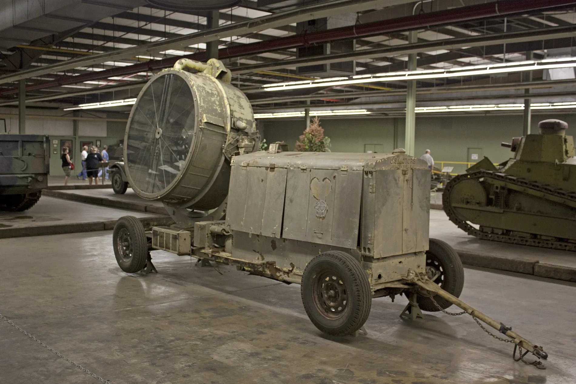
AAF Tank Museum500 ft
Places of worship nearby
St. Luke’s United Methodist Church0.6 mi
The Church of Jesus Christ of Latter-day Saints0.7 mi
Residential areas nearby
NorthPointe Apartments0.4 mi
Retail areas nearby
Market Square Shopping Center0.3 mi
Streams nearby
Edwards Branch0.7 mi
Fall Creek0.7 mi
Supermarkets nearby
Food Lion0.2 mi
Dollar General Market0.5 mi
Variety stores nearby
Dollar General0.2 mi
 Public transit map Pittsylvania County Legend
| Railway | |
| Bus | |
| Streetcar |
 Bicycle map Pittsylvania County Legend
| Bike path | |
| Bike lane on roadway | |
| Cycling allowed on bus lane | |
| Bicycle street | |
| Open to cyclists | |
| Open to cyclists, good path | |
| Cycling prohibited | |
| Cobblestone |
| Long-distance bike route | (depending on scale) | |
| Long-distance bike route |
 Pedestrian map Pittsylvania County Legend
| Path |
| Long-distance hiking trail | (depending on scale) | |
| Long-distance hiking trail | ||
| Pedestrians prohibited |