
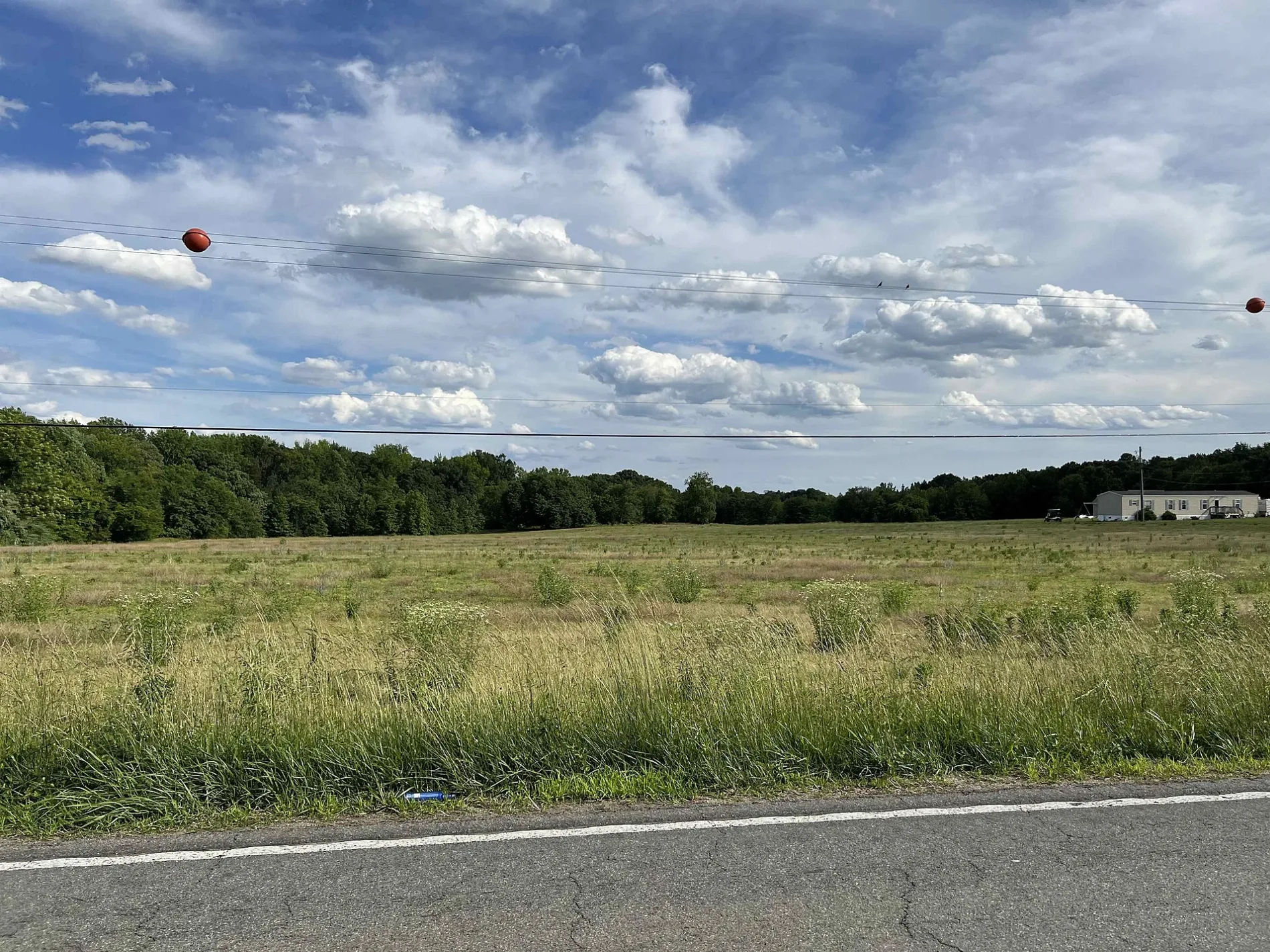
Plainview Airport in Powhatan County, Virginia
Plainview Airport in Powhatan County is an airfield. Plainview Airport is also known as Plainview Aerodrome.
Image
Places of worship
Convenience stores
Variety stores
Supermarkets
Fire stations
ATMs
Restaurants
Dry cleaners
Pharmacies
Car rentals
Clinics
Fast food restaurants
Vape shops
Gas stations
Beauty salons
Liquor stores
Police stations
Attractions
Streets nearby
Goodwyn Heights Road0.1 mi
Garrett Lane0.2 mi
Anderson HighwayLlylwhens Towing & Repair, PNC Bank, Rodeo's Mexican Grill & Taqueria, Enterprise, Powhatan Family Physicians LTD, Frisby's Restaurant, Frisby's Markey & Deli, Frisby's Bar & Grill, Hitch N Post, Total Terror Haunted Attraction, Al's Marketplace, Allen's Chinese, Organic Cleaners, Valero, Al's Fried Chicken, Flat Rock, El Cerro Azul, Hobby Hill Farm, Sheetz, Monterrey Burrito Company, Salisbury Tire & Service, Yard Works, Blue & Gray Self Storage, Sign Design, Styles Salon, County Line Kennel, Smiths Crossroads
0.3 mi
Waterspring Drive0.4 mi
Whitespring Way0.4 mi
Lone Draw Drive0.4 mi
Lone Draw Court0.5 mi
Fairlane Drive0.6 mi
Lone Ridge Drive0.6 mi
Lone Ridge Way0.7 mi
Woodman Oaks Lane0.7 mi
Buckingham Road0.7 mi
Wood Flower Road0.7 mi
Branch Forest Way0.7 mi
Double Ridge Terrace0.8 mi
Jonwarn Court0.8 mi
Buckingham Forest Court0.8 mi
Plainview Center0.9 mi
Fairoaks Road0.9 mi
Richards Run1.0 mi
Mary Goodwyn Road1.0 mi
Fairfield Road1.0 mi
Hunters Mill Road1.0 mi
Gwynmill Lane1.1 mi
Fairpine Drive1.1 mi
Branch Springs Court1.3 mi
Branch Springs Road1.3 mi
Scottville Road1.4 mi
Cabra Road1.4 mi
Branchway Creek Drive1.4 mi
Goodwyn Road1.5 mi
Old Buckingham RoadHollywood Church, Powhatan County Fire Department Administration, May Memorial Baptist Church, Powhatan, Plain View, Worshams, Belona, Ballsville
1.5 mi
Pals Drive1.5 mi
Academy RoadNew China, Pizza Hut, Osaka Hibachi & Sushi
1.5 mi
Hope Meadow Road1.5 mi
Archies Way1.6 mi
Auto parts stores nearby
NAPA Auto Parts - Powhatan Auto0.3 mi
Commercial areas nearby
Plainview Business Center in Powhatan0.8 mi
Hardware stores nearby
R.C. Goodwyn & Sons1.3 mi
Houses nearby
Tambellini Enterprises LLC1.2 mi
Office buildings nearby
Comcast Service Center0.6 mi
Places of worship nearby
Powhatan Church0.3 mi
Retail areas nearby
Maxey Center0.2 mi
Powhatan Plaza0.3 mi
Sports fields nearby
Pitt Field1.4 mi
Turner Field1.4 mi
Jenny's Field1.4 mi
Administration Building Soccer Field1.4 mi
Lisa's Field1.4 mi
| Elevation | 400 |
|---|---|
| Located in | Powhatan County |
| Country | United States |
 Public transit map Powhatan County Legend
| Railway | |
| Bus | |
| Streetcar |
 Bicycle map Powhatan County Legend
| Bike path | |
| Bike lane on roadway | |
| Cycling allowed on bus lane | |
| Bicycle street | |
| Open to cyclists | |
| Open to cyclists, good path | |
| Cycling prohibited | |
| Cobblestone |
| Long-distance bike route | (depending on scale) | |
| Long-distance bike route |
 Pedestrian map Powhatan County Legend
| Path |
| Long-distance hiking trail | (depending on scale) | |
| Long-distance hiking trail | ||
| Pedestrians prohibited |