
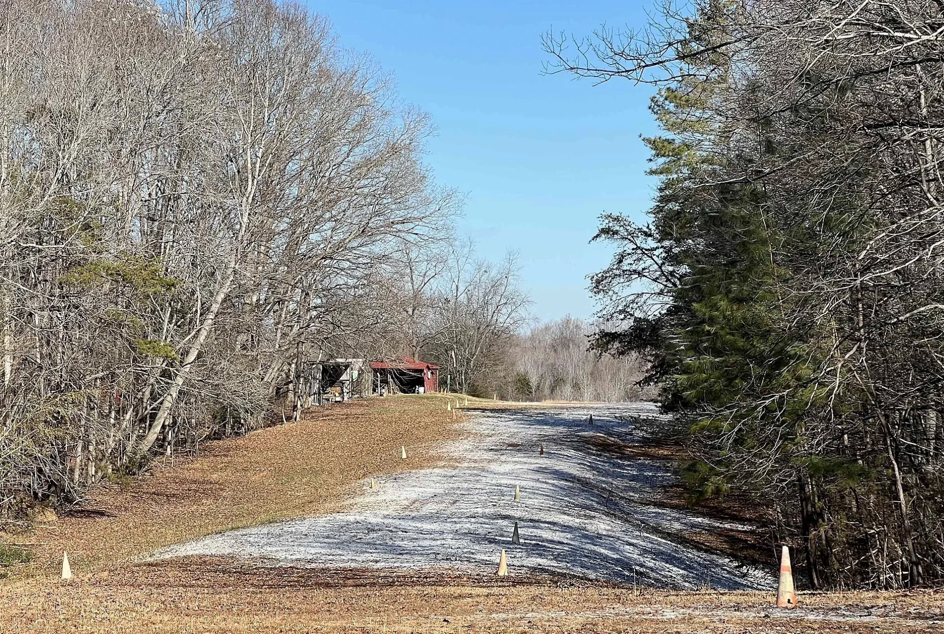
Spring Valley Airport in Powhatan County, Virginia
Spring Valley Airport in Powhatan County is an airfield.
Image
Fire stations
ATMs
Doctor's offices
Supermarkets
Liquor stores
Beauty salons
Restaurants
Cemeteries
Guest houses
Schools
Gas stations
Fast food restaurants
Hair salons
Vape shops
Hardware stores
Streets nearby
Saint Lukes Place0.3 mi
McQuinn Drive0.6 mi
French Hill Drive0.7 mi
Huguenot Pointe Drive0.8 mi
Dutoy Court0.9 mi
Shadow Creek Drive1.0 mi
Huguenot TrailSubletts, Fine Creek Mills, Wawa, Wild Ginger
1.0 mi
Robert E Lee RoadThe Mill at Fine Creek Cottages
1.0 mi
French Hill Court1.1 mi
Shadow Creek Court1.1 mi
Shadow Creek Way1.2 mi
Old Sherwood Trail1.2 mi
Bourbon Lane1.2 mi
French Hill Terrace1.3 mi
Greywalls Court1.4 mi
Downfield Road1.5 mi
Lee's Landing Road1.5 mi
Glenalmond Court1.5 mi
Pleasant Green Road1.6 mi
Lee RoadPleasant Green
1.6 mi
Judes Ferry RoadPowhatan County Fire Department Company 4 - Fine Creek Volunteer Fire Department
1.6 mi
Jude's Ferry Road1.6 mi
Medway Lane1.6 mi
Valley Springs Circle1.6 mi
Riverglade Road1.6 mi
Valley Springs Road1.7 mi
Gullane Road1.7 mi
Greywalls Drive1.7 mi
Braehead Road1.8 mi
Calais Trail1.8 mi
Gullane Court1.8 mi
Valley Springs Court1.8 mi
Wood Berry Mill Road1.8 mi
Shaughnessy Road1.9 mi
John Tree Hill Road1.9 mi
Sublett Place1.9 mi
River Road WestMaidens, Manakin, Bella Sicilia Italian Restaurant, Goochland Restaurant, Lacy's Home Center, Canine Clips, Goochland Gun Works, North River Outdoors, Parrish Ford, HNS Archery, Crozier, George's Tavern
2.0 mi
Briesmaster WayGoochland County Volunteer Fire and Rescue Company 2 Crozier
2.0 mi
Sublett Circle2.0 mi
Convenience stores nearby
Lucky's at Fine Creek0.4 mi
Dams nearby
Woodberry Dam1.5 mi
Event venues nearby
The Mill at Fine Creek1.0 mi
Gas stations nearby
BP0.4 mi
Golf courses nearby
The Foundry Golf Club1.8 mi
Places of worship nearby
Saint Lukes Church0.4 mi
Saint James Church1.5 mi
Pleasant Grove Baptist Church1.8 mi
Pubs nearby
Fine Creek Brewing Company1.0 mi
Waters nearby
Woodberry Pond1.4 mi
| Located in | Powhatan County |
|---|---|
| Country | United States |
 Public transit map Powhatan County Legend
| Railway | |
| Bus | |
| Streetcar |
 Bicycle map Powhatan County Legend
| Bike path | |
| Bike lane on roadway | |
| Cycling allowed on bus lane | |
| Bicycle street | |
| Open to cyclists | |
| Open to cyclists, good path | |
| Cycling prohibited | |
| Cobblestone |
| Long-distance bike route | (depending on scale) | |
| Long-distance bike route |
 Pedestrian map Powhatan County Legend
| Path |
| Long-distance hiking trail | (depending on scale) | |
| Long-distance hiking trail | ||
| Pedestrians prohibited |