
Graham Circle Drive in Prince Edward County, Virginia
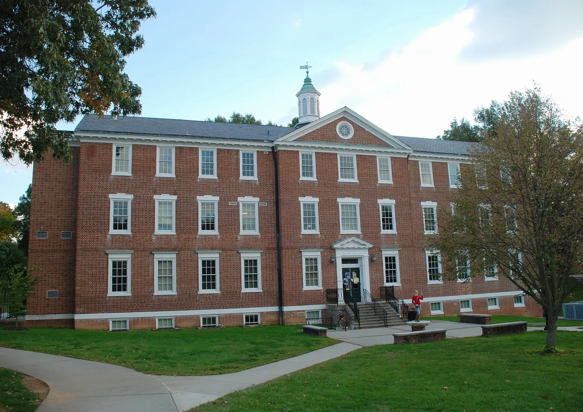
Graham Circle Drive in Prince Edward County is a service road. It runs in an east-west direction and ends at College Road, while the other end is a cul-de-sac.
- Road Type
- service road
- Route
- east-west
Image
Gas stations
Bars
Car washes
Shoe stores
Variety stores
Sporting goods stores
Schools
Cell phone stores
Convenience stores
Electronics stores
Clothing stores
Places of worship
Beauty salons
Viewpoints
Charging stations
Video game stores
Fast food restaurants
Streets nearby
College RoadHampden Sydney
400 ft
Fraternity Circle450 ft
Atkinson Avenue0.1 mi
East Crawley Drive0.2 mi
Pannill DriveThe Tiger Inn
0.2 mi
Via Sacra0.2 mi
Wilson CircleThe Birthplace
0.2 mi
Wilson Circle Court0.3 mi
Reed Road0.3 mi
Kingsville Road0.4 mi
Buildings nearby
Watkins Bell Tower400 ft
Financial Aid Building0.1 mi
Burrell House0.2 mi
Middlecourt0.2 mi
Community centers nearby
Pi Kappa Alpha Fraternity House, Iota Chapter0.1 mi
Theta Chi Fraternity House, Nu Chapter0.1 mi
Kappa Sigma Fraternity House, Upsilon Chapter0.1 mi
Delta Kappa Epsilon, Zeta Gamma Chapter0.1 mi
Sigma Chi Fraternity House, Sigma Sigma Chapter0.2 mi
Phi Gamma Delta Fraternity House, Delta Deuteron Chapter0.2 mi
Kappa Alpha Order Fraternity House, Alpha Tau Chapter0.2 mi
Minority Student Union0.2 mi
Dormitories nearby
Cushing Hall550 ft
Carpenter X0.1 mi
Dupuy House0.1 mi
Carpenter Y0.2 mi
Venable Hall0.2 mi
Carpenter Z0.2 mi
Houses nearby
Wilson Center450 ft
Libraries nearby
Bortz Library0.3 mi
Museums nearby
Esther Atkinson Museum0.1 mi
Places of worship nearby
College Presbyterian Church300 ft
Residential buildings nearby
Blake Apartments0.3 mi
Sports centers nearby
Gammon Gymnasium0.1 mi
Sports fields nearby
Fulton Field0.1 mi
Stadiums nearby
Lewis C. Everett Stadium0.2 mi
Theaters nearby
Johns Auditorium0.1 mi
University buildings nearby
Graham Hall400 ft
Morton Hall500 ft
Atkinson Hall0.1 mi
Pauley Science Center0.1 mi
Pannill Commons0.1 mi
Brown Student Center0.2 mi
Brinkley Hall0.2 mi
Gilmer Hall0.3 mi
Maples0.3 mi
Blake A0.3 mi
Waters nearby
Chalgrove Lake0.2 mi
Other nearby
Trotter Flagpole Plaza0.1 mi
 Public transit map Prince Edward County Legend
| Railway | |
| Bus | |
| Streetcar |
 Bicycle map Prince Edward County Legend
| Bike path | |
| Bike lane on roadway | |
| Cycling allowed on bus lane | |
| Bicycle street | |
| Open to cyclists | |
| Open to cyclists, good path | |
| Cycling prohibited | |
| Cobblestone |
| Long-distance bike route | (depending on scale) | |
| Long-distance bike route |
 Pedestrian map Prince Edward County Legend
| Path |
| Long-distance hiking trail | (depending on scale) | |
| Long-distance hiking trail | ||
| Pedestrians prohibited |