
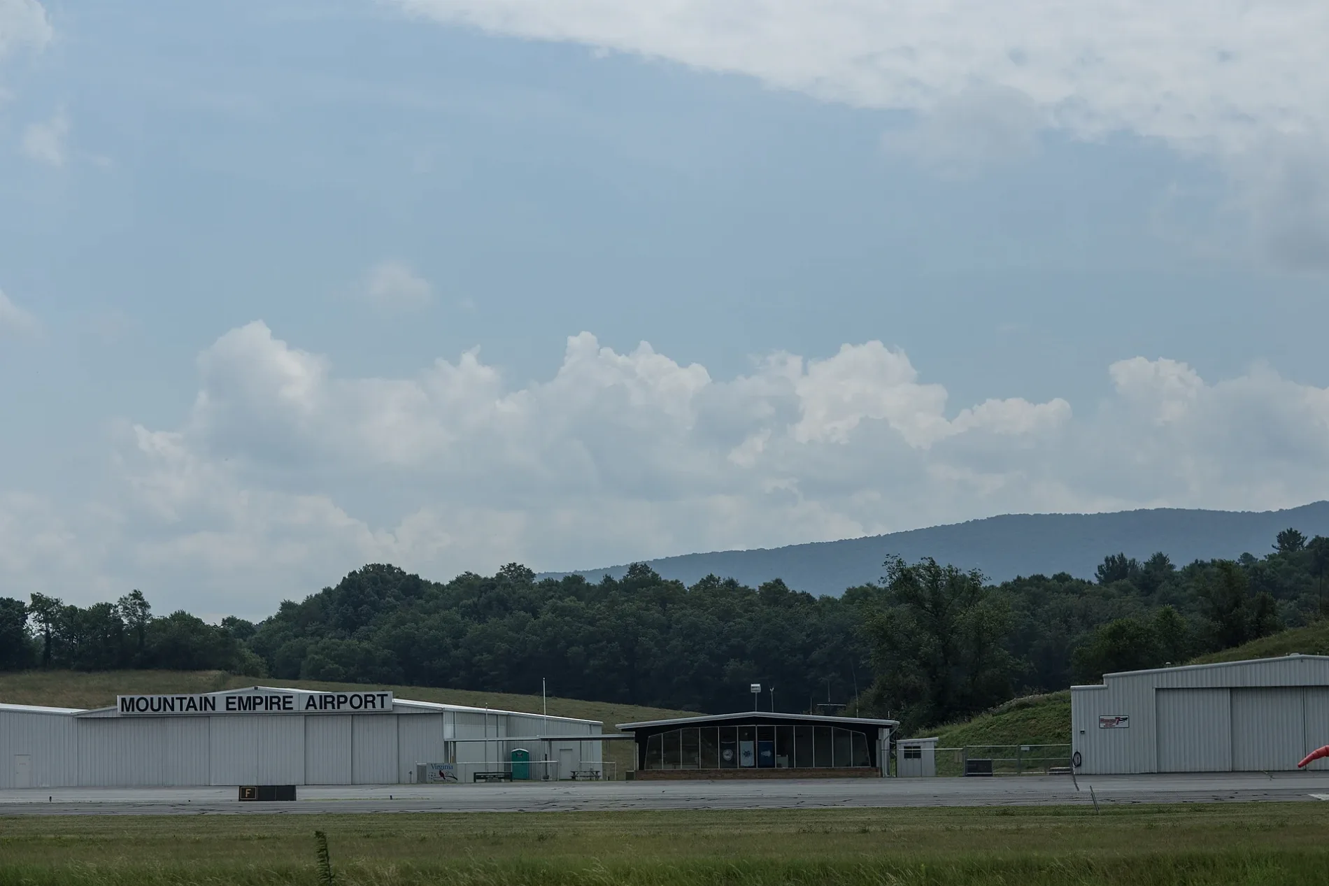
Mountain Empire Airport in Rural Retreat, VA 24368
Mountain Empire Airport in Rural Retreat, VA 24368 (Smyth County) is an airfield (ICAO: KMKJ). Mountain Empire Airport is also known as KMKJ. Ⓦ.
Image
Streets nearby
Look Out Lane0.3 mi
Jimmy Lane0.3 mi
Lee HighwayFulton Church, Pleasant Hill Church, Marathon, Sunoco, Exxon, Seven Mile Ford, AmeriGas, Davis Memorial Church, Atkins Elementary School, First Church of God, Atkins Post Office, Wassum Cemetery, Mount Carmel United Methodist Church, The Tank, Atkins Volunteer Fire Department, Tesla Supercharger
0.3 mi
Copper Drive0.4 mi
Buck Park Lane0.4 mi
County Road 7060.6 mi
Burgundy Lane0.7 mi
Dutton RoadGroseclose
0.7 mi
Shaw Road0.8 mi
Appalachian TrailHurricane Shelter, Chatfield Shelter, Partnership Shelter
0.9 mi
Knight Road0.9 mi
Winsor Road1.0 mi
Windsor Road1.1 mi
Jasper Lane1.1 mi
Green Mountain Road1.1 mi
Stovall Road1.1 mi
Oakland Lane1.2 mi
Kegley Lane1.2 mi
Hafley Hollow Lane1.3 mi
Phillippi Hollow Road1.3 mi
Davis Valley Road1.3 mi
Phillipi Hollow Road1.4 mi
Norton Lane1.4 mi
Mt Airy Road1.5 mi
Stone Hill Lane1.5 mi
State Route F-0131.6 mi
Red Apple Orchard RoadGreen Mountain Church
1.6 mi
Parsonage Avenue1.7 mi
Citizens RoadRiddles Memorial Church
1.7 mi
Phipps Road1.8 mi
Conover Lane1.8 mi
Cline RoadSteffey Cemetery
1.8 mi
Pembroke1.9 mi
Dutton Hollow RoadStinson
1.9 mi
Old Tannery Road1.9 mi
Rocky Hollow RoadAtkins Cemetery
1.9 mi
Powell Hollow Road2.0 mi
Mount Airy Road2.2 mi
Nelson Lane2.2 mi
Scowanda Spring Road2.2 mi
Crowe Hollow RoadCalhoun Cemetery
2.3 mi
Brownfields nearby
General Shale Brick1.4 mi
Parks nearby
Settlers Museum of Southwest Virginia1.6 mi
Places of worship nearby
Groseclose First Church of God1.5 mi
Railways nearby
Pulaski District0.7 mi
School buildings nearby
Lindamood Schoolhouse1.6 mi
Streams nearby
Middle Fork Holston River0.9 mi
Dry Run1.0 mi
Huddle Branch2.5 mi
| Elevation | 2558 |
|---|---|
| Located in | Virginia |
| Country | United States |
 Public transit map Smyth County Legend
| Railway | |
| Bus | |
| Streetcar |
 Bicycle map Smyth County Legend
| Bike path | |
| Bike lane on roadway | |
| Cycling allowed on bus lane | |
| Bicycle street | |
| Open to cyclists | |
| Open to cyclists, good path | |
| Cycling prohibited | |
| Cobblestone |
| Long-distance bike route | (depending on scale) | |
| Long-distance bike route |
 Pedestrian map Smyth County Legend
| Path |
| Long-distance hiking trail | (depending on scale) | |
| Long-distance hiking trail | ||
| Pedestrians prohibited |