
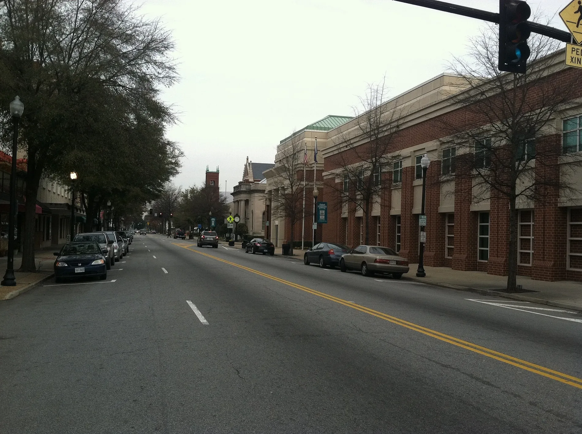
Market Street in Suffolk, Virginia
Market Street in Suffolk is a two-lane, asphalted local road. It runs in an east-west direction starting from Henley Place and crosses North Street, Chestnut Street, Pine Street, Clay Street and North Saratoga Street and ends at North Main Street. Nearby there is a restaurant. The nearest bus stop is Downtown Transfer Station (about 550 m away). Market Street also exists in Manassas Park, Virginia Beach, Norfolk, Manassas and Fairfax County.
- Road Type
- local road
- Lanes
- 2
- Route
- east-west
Image
Restaurants
Streets nearby
Chestnut Street300 ft
Clay Street400 ft
North Saratoga StreetMelanin Sweet LLC
0.1 mi
Pine Street0.2 mi
Freemason Street0.2 mi
West Finney Avenue0.2 mi
Mahan Street0.3 mi
Prentis StreetDowntown Transfer Station
0.3 mi
Finney Avenue0.3 mi
Terrace Court0.3 mi
Day Street0.3 mi
College Court0.3 mi
Church Street0.4 mi
Western Avenue0.4 mi
Dumville Lane0.4 mi
Shops nearby
Suffolk Title450 ft
Suffolk Monument Works0.4 mi
Arts centers nearby
Suffolk Center For Cultural Arts0.2 mi
Banks nearby
SunTrust0.1 mi
Wells Fargo0.2 mi
Buildings nearby
Pender & Coward, P.C.0.1 mi
Wachovia Securities0.3 mi
Olde Virginia Realty0.4 mi
Cell phone stores nearby
Verizon Wireless0.2 mi
Cemeteries nearby
Cedar Hill Cemetery0.4 mi
Commercial buildings nearby
Cross Management100 ft
Brent Rowland And Associates Attorneys At Law350 ft
Michael D Eberhardt, Attorney450 ft
Senior Services500 ft
The Barnett Building550 ft
Suffolk Insurance0.1 mi
Bush & Taylor P.C. Attorneys at Law0.2 mi
Suffolk Temporaries0.2 mi
Front Street Building0.4 mi
Convenience stores nearby
Big Guys MiniMart100 ft
Courthouses nearby
Godwin Courts Building0.2 mi
Dentist's offices nearby
John W Burton DDS0.4 mi
Fire stations nearby
Suffolk Fire Department Station 1150 ft
Fish markets nearby
Old Bay Seafood0.4 mi
Furniture stores nearby
Brandon Furniture Warehouse350 ft
Gift shops nearby
Tony's Trophies0.4 mi
Industrial areas nearby
Suffolk Public Works0.2 mi
Opticians nearby
Suffolk Eye Physicians0.4 mi
Places of worship nearby
Saint Pauls Protestant Episcopal Church0.2 mi
Main Street United Methodist Church0.2 mi
Suffolk Christian Church0.2 mi
First Baptist Church0.3 mi
Post offices nearby
Suffolk Post Office0.4 mi
Residential buildings nearby
The Addison Group0.2 mi
 Public transit map Suffolk Legend
| Railway | |
| Bus | |
| Streetcar |
 Bicycle map Suffolk Legend
| Bike path | |
| Bike lane on roadway | |
| Cycling allowed on bus lane | |
| Bicycle street | |
| Open to cyclists | |
| Open to cyclists, good path | |
| Cycling prohibited | |
| Cobblestone |
| Long-distance bike route | (depending on scale) | |
| Long-distance bike route |
 Pedestrian map Suffolk Legend
| Path |
| Long-distance hiking trail | (depending on scale) | |
| Long-distance hiking trail | ||
| Pedestrians prohibited |