
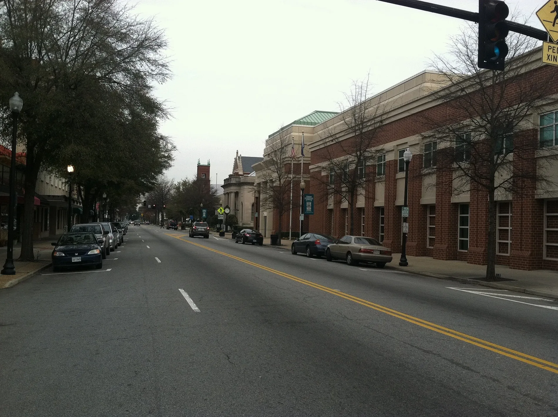
West Pinner Street in Suffolk, Virginia
West Pinner Street in Suffolk is a two-lane, asphalted secondary road. It runs in a north-south direction starting from East Pinner Street and crosses Newport Street, Central Avenue, Finney Avenue, Pearl Street, Bank Street and East Washington Street and ends at New Avenue.
- Road Type
- secondary road
- Lanes
- 2
- Route
- north-south
Image
Bus stops
Police stations
Bakeries
Cafes
Farm supply stores
Restaurants
Rental services
Clothing stores
Clinics
Places of worship
Banks
Bars
Beauty salons
Streets nearby
New Avenue200 ft
Hall AvenueSuffolk Screening Clinic
350 ft
Franklin Street400 ft
Bank StreetSuffolk City Sheriff's Office, Lloyd Place
0.1 mi
North Commerce Street0.1 mi
Pearl Street0.1 mi
Liberty Street0.2 mi
Tynes Street0.2 mi
Polk Street0.2 mi
Grace Street0.2 mi
Holladay Street0.2 mi
York Court0.2 mi
Terrace Court0.2 mi
Oakdale Terrace0.2 mi
Finney Avenue0.3 mi
Central Avenue0.3 mi
Shops nearby
Cash-N-Carry0.3 mi
Banks nearby
Metropolitan Church Federal Credit Union0.2 mi
Buildings nearby
The Stop Organization0.1 mi
Al Vincents Auto Insurance0.2 mi
Car dealerships nearby
Rays Auto Sales0.3 mi
Clinics nearby
Western Tiderwater Mental Health0.3 mi
Commercial buildings nearby
Tidewater Blanching Corporation0.2 mi
Supreme Food Services0.2 mi
Community centers nearby
Masonic Lodge0.2 mi
Funeral homes nearby
Metropolitan Funeral Service0.3 mi
Gas stations nearby
The Red Barn100 ft
Guest houses nearby
Carriage House B&B500 ft
Hair salons nearby
Styles By Impressions0.1 mi
Industrial areas nearby
Suffolk Iron Works0.2 mi
Parks nearby
Tynes Park0.2 mi
Joyner Park0.2 mi
Places of worship nearby
Trinity Christian Church500 ft
Salvation Army0.1 mi
Higher Ground Outreach Church0.1 mi
Metropolitan Baptist Church0.1 mi
Saint Marks Episcopal Church0.2 mi
Faith Of Deliverance Church0.2 mi
Faith House Of Refuge #20.3 mi
Police stations nearby
Suffolk Police Department Sector 1100 ft
Public buildings nearby
Health & Human Services500 ft
City Of Suffolk Assessors Office0.1 mi
Railways nearby
Norfolk District0.2 mi
Commonwealth Railway0.3 mi
NS Franklin District (NF&D)0.3 mi
Residential buildings nearby
Datagraphix350 ft
Building 3400 ft
Social facilities nearby
Suffolk Homeless Shelter0.3 mi
Train stations nearby
Union Station550 ft
 Public transit map Suffolk Legend
| Railway | |
| Bus | |
| Streetcar |
 Bicycle map Suffolk Legend
| Bike path | |
| Bike lane on roadway | |
| Cycling allowed on bus lane | |
| Bicycle street | |
| Open to cyclists | |
| Open to cyclists, good path | |
| Cycling prohibited | |
| Cobblestone |
| Long-distance bike route | (depending on scale) | |
| Long-distance bike route |
 Pedestrian map Suffolk Legend
| Path |
| Long-distance hiking trail | (depending on scale) | |
| Long-distance hiking trail | ||
| Pedestrians prohibited |