
North 1st Street in Montesano, Washington
North 1st Street in Montesano is a single-lane, asphalted residential street. The street has parking available (parallel parking). It runs in a north-south direction starting from West McBryde Avenue and crosses West Kennaston Avenue, West Simpson Avenue, West Kamilche Avenue, West Beacon Street, West Spruce Avenue and 1st Street South and ends at West Broadway Avenue. This street is part of the Hiking trail "Montesano Historic Homes Loop". The nearest bus stop is Montesano Transit Center (about 350 m away). North 1st Street also exists in Oakville, McCleary and Elma.
- Road Type
- residential street
- Lanes
- 1
- Speed Limit
- 25 mph
- Route
- north-south
Image
Hair salons
Fast food restaurants
Bakeries
Community centers
ATMs
Cafes
Supermarkets
Gas stations
Community centers
Bus stops
Restaurants
Convenience stores
Social facilities
Beauty salons
Auto repair shops
Pharmacies
Streets nearby
1st Street South300 ft
North Fleet Street300 ft
North Main Street450 ft
North 4th Street0.1 mi
West Marcy Avenue0.1 mi
West Holman Avenue0.2 mi
South 3rd Street0.2 mi
West Spruce AvenueMontesano Food Bank
0.2 mi
Helens Lane North0.2 mi
North 3rd Street0.2 mi
East Marcy AvenueMontesano Transit Center
0.2 mi
South Fleet Street0.2 mi
West Pioneer AvenueC & T Market, Subway, The Flour Shop, Ambience Spa, Talor Dooz Salon & Spaw, Oishi Teriyaki, Chehalis Valley Historical Museum
0.2 mi
West Beacon Avenue0.2 mi
South 4th Street0.2 mi
East Pioneer AvenueEl Rancho, All Wrapped Up, Organics 101 Market, Montesano Community Center
0.2 mi
Cooper Avenue West0.2 mi
North 6th Street0.2 mi
West Wynooche AvenueMontesano Quick Stop
0.3 mi
South 6th Street0.3 mi
South 5th Street0.3 mi
South 1st StreetWhitney Collision Center, Lemon Hill Cafe & Bookstore
0.3 mi
Amenities nearby
Grays Harbor County Administration Building400 ft
Auto repair shops nearby
J&J Body Shop0.2 mi
Banks nearby
The Bank of the Pacific0.2 mi
Timberland Bank0.2 mi
Umpqua Bank0.2 mi
Buildings nearby
The Center0.2 mi
Cafes nearby
Wynoochee0.2 mi
Courthouses nearby
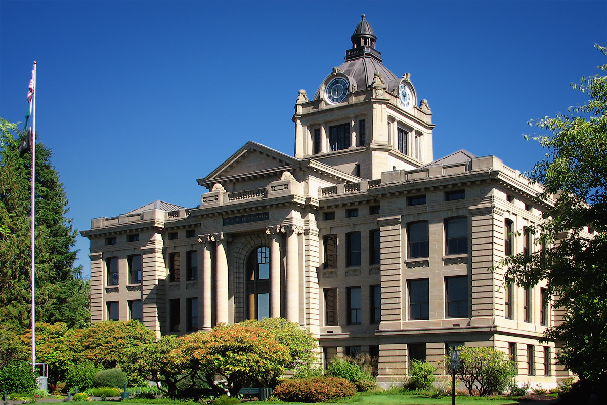
Grays Harbor County Courthouse200 ft
Dentist's offices nearby
Montesano Dental0.1 mi
Fast food restaurants nearby
Gene's Stop and Go0.2 mi
Crow's Nest Drive-In0.3 mi
Fitness centers nearby
Monte Fitness Center0.3 mi
Hardware stores nearby
Dennis Company Ace Hardware0.2 mi
Houses nearby
France Mansion200 ft
William H. Abel Home500 ft
Industrial areas nearby
Grays Harbor County Maintenance Facility400 ft
Libraries nearby
W. H. Abel Memorial Library0.1 mi
Parks nearby
Kelsey Park0.2 mi
Fleet Park0.2 mi
Places of worship nearby
Landmark Apostolic Church0.1 mi
Calvary Chapel of Montesano0.1 mi
Police stations nearby
Montesano Police Department0.1 mi
Post offices nearby
US Post Office0.2 mi
Restaurants nearby
Westside Pizza0.1 mi
Sports fields nearby
Crait Field0.1 mi
Nelson Field0.1 mi
Sports halls nearby
Zero Gravity0.4 mi
Public transit map Montesano Legend
| Railway | |
| Bus | |
| Streetcar |
Bicycle map Montesano Legend
| Bike path | |
| Bike lane on roadway | |
| Cycling allowed on bus lane | |
| Bicycle street | |
| Open to cyclists | |
| Open to cyclists, good path | |
| Cycling prohibited | |
| Cobblestone |
| Long-distance bike route | (depending on scale) | |
| Long-distance bike route |
Pedestrian map Montesano Legend
| Path |
| Long-distance hiking trail | (depending on scale) | |
| Long-distance hiking trail | ||
| Pedestrians prohibited |