
Mountain View Drive South in Seattle
Mountain View Drive South in Seattle is an asphalted residential street. It runs in a southeast-northwest direction starting from South Alaska Street and crosses South Columbian Way and 29th Avenue South and ends at South Edmunds Street.
- Road Type
- residential street
- Speed Limit
- 20 mph
- Route
- southeast-northwest
Image
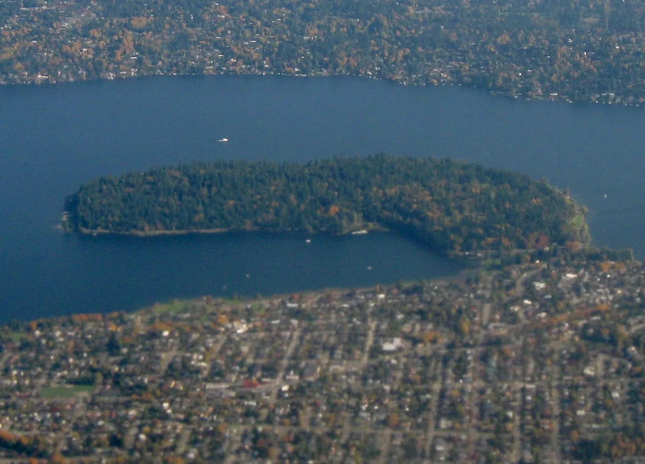
Streets nearby
Hazelnut Loop300 ft
Columbian Way Link400 ft
South Alaska Place400 ft
Valley View Trail400 ft
Ridge Trail400 ft
27th Avenue SouthMount Baker, Sky Within
500 ft
South Snoqualmie StreetChandala Thai, South Seattle
0.1 mi
South Columbian WaySouth Columbian Way & Beacon Avenue South, South Columbian Way & South Americus Street, South Columbian Way & South Snoqualmie Street, South Columbian Way & Veterans Administration Hospital Road, Rainier Vista, South Columbian Way & South Spokane Street, South Columbian Way & South Oregon Street, South Columbian Way & 15th Avenue South, Seattle Super Market
0.1 mi
28th Avenue South0.1 mi
29th Avenue South0.1 mi
McCoy Place South0.1 mi
Thorin Place South0.2 mi
Crest Place South0.2 mi
Jill Place South0.2 mi
South Genesee StreetJohny's Nails, Hodge's Hair Quarters, South Genesee Street & 36th Avenue South, Yuu Tea Cafe, Columbia, Seward Park Pizza, Both Ways Cafe, South Genesee Street & 50th Avenue South, South Genesee Street & 42nd Avenue South, South Genesee Street & 43rd Avenue South, South Genesee Street & 46th Avenue South, South Genesee Street & Cascadia Avenue South, South Genesee Street & 39th Avenue South, South Genesee Street & 47th Avenue South
0.2 mi
30th Avenue South0.2 mi
South Ferdinand StreetGeraldine's Counter, Rookies Sports Bar, Columbia City Veterinary, Columbia City Bouquet, Lottie's Lounge, Rudy's Barbershop, Pagliacci Pizza, Columbia City, Massage For Seattle Inc., Bodygood Massage, Maia Midwifery & Fertility, Columbia Hotel
0.2 mi
South Oregon StreetCentral Welding Supply, Domino's, Ezell's Chicken
0.2 mi
South Alaska StreetThe Cherish Academy, South Alaska Street & Martin Luther King Junior Way South, Noah's Grocery Store, IsGood Woodworks, South Alaska Street & South Alaska Place, The Station, Columbia City Chiropractic, South Alaska Street & 35th Avenue South
0.2 mi
South Angeline Street0.2 mi
South Edmunds StreetColumbia City Post & Parcel, Salon Adidez, books4cars.com, Fashion Nails, PCC Community Market, The Parlour, Pride, Phase Two Interiors, Columbia City Acupuncture, Shola, Olympia Coffee, Molly Moon's Homemade Ice Cream - Columbia City, Garden Windows
0.2 mi
Winston Avenue South0.2 mi
Renton Avenue SouthRenton Ave S & S 116th Pl, Renton Ave S & 55th Ave S, Renton Ave S & S Bangor St, Renton Ave S & S Prentice St, Renton Ave S & S Ryan St, Renton Ave S & S Victor St, Renton Ave S & 57th Ave S, Renton Ave S & 54th Ave S, Renton Ave S & 52nd Ave S, Renton Ave S & S Roxbury St, Renton Ave S & S Fountain Pl, Renton Ave S & S Hazel St, Renton Ave S & S Fountain St
0.3 mi
32nd Avenue SouthEast African Community Services, David Beeman Piano
0.3 mi
South Hudson StreetHudson, Tutta Bella, The Royal Room, Billiard Hoang
0.3 mi
33rd Avenue SouthAdarash Market, The Comfort Zone Restaurant
0.3 mi
31st Avenue South31st Avenue South & South Plum Street, 31st Avenue South & South Lander Street, 31st Avenue South & South College Street, 31st Avenue South & South Walker Street, Frink Park Sign, 31st Avenue South & South Norman Street, QED Coffee, 31st Avenue South & South Day Street, Serevi Rugby, Iconiq, 31st Avenue South & South Massachusetts Street, 31st Avenue South & South Irving Street, 31st Avenue South & South Dearborn Street
0.3 mi
Allotment gardens nearby
Rainier Vista Snoqualmie Garden P-Patch0.1 mi
Rainier Vista Sunrise Garden0.3 mi
Apartment buildings nearby
Tamarack Place0.2 mi
The Genesee0.2 mi
Sonata0.2 mi
Columbia City Studios0.2 mi
CityLine Building 60.3 mi
CityLine Building A0.3 mi
CityLine Building 50.3 mi
Mar Don0.3 mi
CityLine Building B0.3 mi
CityLine Building 30.3 mi
Buildings nearby
Africatown Center for Education & Innovation0.2 mi
Light rail systems building0.3 mi
Community centers nearby
Neighborhood House0.2 mi
Light rail stops nearby
Columbia City0.2 mi
Parks nearby
Central Park0.2 mi
Places of worship nearby
Pentecostal Missionary Church of Christ (4th Watch)0.1 mi
Residential areas nearby
CityLine Apartments0.3 mi
Residential buildings nearby
Green Leaf Encore0.2 mi
Social facilities nearby
Providence ElderPlace0.1 mi
Boys & Girls Club0.2 mi
 Public transit map Seattle Legend
| Railway | |
| Bus | |
| Streetcar |
 Bicycle map Seattle Legend
| Bike path | |
| Bike lane on roadway | |
| Cycling allowed on bus lane | |
| Bicycle street | |
| Open to cyclists | |
| Open to cyclists, good path | |
| Cycling prohibited | |
| Cobblestone |
| Long-distance bike route | (depending on scale) | |
| Long-distance bike route |
 Pedestrian map Seattle Legend
| Path |
| Long-distance hiking trail | (depending on scale) | |
| Long-distance hiking trail | ||
| Pedestrians prohibited |