
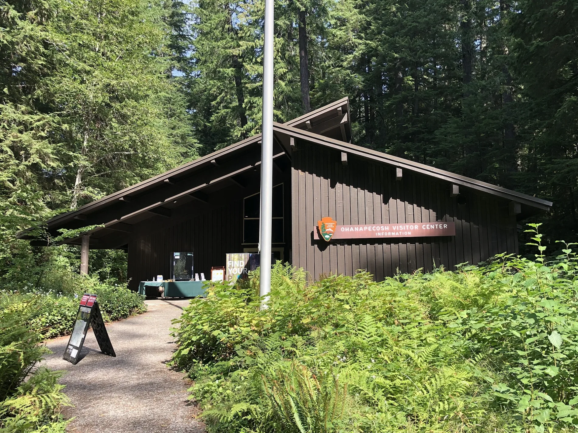
Ohanapecosh Visitor Center in Lewis County, Washington
Ohanapecosh Visitor Center in Lewis County is a tourist information. Ohanapecosh Visitor Center is located near Loop B.
- Building Type
- building
- Tourism
- tourist information
Image
Streets nearby
Loop C350 ft
Loop BDay Use Parking
500 ft
Loop E0.1 mi
Loop D0.2 mi
Loop A0.2 mi
Loop F0.2 mi
Loop H0.3 mi
Loop G0.3 mi
Silver Falls Loop TrailSilver Falls Loop Trailhead
0.7 mi
Silver Falls TrailHot Springs Nature Trailhead
0.9 mi
State Route 1231.0 mi
Silver Falls OverlookSilver Falls Overlook
1.2 mi
Eastside TrailGrove Of The Patriarchs Trailhead, Forest Water System, Douglas-fir, Western Redcedar
1.8 mi
Grove of the PatriarchsBig Cedar
1.9 mi
Forest Road 45102.3 mi
Laughingwater Creek TrailThree Lakes Camp
2.4 mi
Cowlitz Divide TrailOlallie Creek Camp
2.7 mi
Forest Road 442.7 mi
Forest Road 12763.4 mi
WA 123Eastside Trailhead, Shriner Peak Trailhead
3.4 mi
Backbone Trail3.5 mi
Stevens Creek TrailMiddle Steven's Creek Falls
3.8 mi
Stevens Canyon RoadWonderland Trailhead, Eastside Trail Trailhead, Inspiration Point, Wonderland Trail, Box Canyon, Cowlitz Divide Trailhead, Stevens Creek Trailhead
3.9 mi
Blue Hole Trail3.9 mi
Wonderland TrailWonderland Trailhead, Wonderland Trail
4.0 mi
Hatchery Loop4.0 mi
Backbone Lake Trail4.1 mi
Old Ohana Road4.2 mi
Forest Road 1272La Wis Wis Forest Service Station, Pay Station
4.2 mi
Grant Purcell Falls Trail4.6 mi
Shriner Peak TrailShriner Peak Trailhead, 1, 2
4.8 mi
Forest Road 46124.8 mi
Campgrounds nearby
Ohanapecosh Campground0.2 mi
Hot springs nearby
Ohanapecosh Hot Springs0.2 mi
Rivers nearby
Ohanapecosh River1.9 mi
Muddy Fork Cowlitz River3.2 mi
Clear Fork Cowlitz River4.2 mi
Streams nearby
Dinky Creek2.4 mi
Summit Creek3.2 mi
Carlton Creek3.4 mi
Dam Creek3.9 mi
Nickel Creek4.5 mi
Panther Creek4.8 mi
Swimming areas nearby
Blue Hole3.9 mi
Waters nearby
Fir Lake2.7 mi
Saint Jacobs Lake2.9 mi
Blue Lake3.2 mi
Sheep Lake3.5 mi
Backbone Lake4.2 mi
| Elevation | 1890 |
|---|---|
| Operator | National Park Service |
| Protected area | Mount Rainier National Park |
| Located in | Lewis County |
| Located on street | Washington State Route 123 |
| Address | 6208 SR-123, Packwood, WA 98361 |
| Country | United States |
| Website | https://www.nps.gov/mora/planyourvisit/ohanapecosh.htm |
| Native name | Ohanapecosh Visitor Center |
| Has part | Douglas fir log at Ohanapecosh |
 Public transit map Lewis County Legend
| Railway | |
| Bus | |
| Streetcar |
 Bicycle map Lewis County Legend
| Bike path | |
| Bike lane on roadway | |
| Cycling allowed on bus lane | |
| Bicycle street | |
| Open to cyclists | |
| Open to cyclists, good path | |
| Cycling prohibited | |
| Cobblestone |
| Long-distance bike route | (depending on scale) | |
| Long-distance bike route |
 Pedestrian map Lewis County Legend
| Path |
| Long-distance hiking trail | (depending on scale) | |
| Long-distance hiking trail | ||
| Pedestrians prohibited |