
Goat Peak Lookout in Mazama, WA 98833
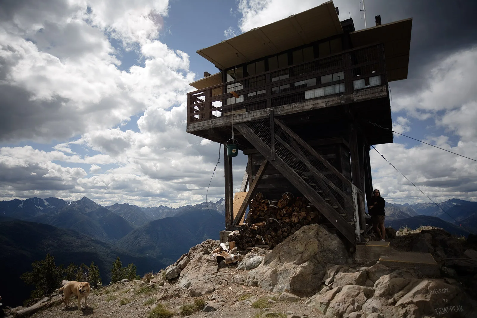
Goat Peak Lookout in Mazama, WA 98833 (Okanogan County) is a tower (Observation tower, Lattice structure, built in 1950). Goat Peak Lookout is located near Goat Peak Lookout Trail 509.
- Building Type
- fire_lookout
Image
Streets nearby
Goat Peak Lookout Trail 5090.6 mi
National Forest Development Road 2001.4 mi
National Forest Development Road 0601.6 mi
Heiderscheit Drive2.2 mi
Methow Inspiration Approach2.3 mi
Base Camp2.3 mi
Thiese Creek Road2.3 mi
Spokane Gulch2.3 mi
Memory Lane2.3 mi
North Cascades Base Camp RoadLost River Trailhead, The Bush School Methow Campus
2.4 mi
National Forest Development Road 1002.4 mi
Bess Karro Road2.4 mi
National Forest Development Road 52252.4 mi
Mazama Rocks Road2.4 mi
Graceland Road2.5 mi
National Forest Development Road 5002.5 mi
Bracken Lane2.5 mi
Chechaque Ranch Road2.5 mi
Country Road2.6 mi
Mustang Alley2.6 mi
Goat Wall Loop2.6 mi
Villa View Lane2.7 mi
North Village Road2.7 mi
Highway 20Riverbend RV Park, tent camping area, Little Dipper Bakery & Cafe, Winthrop Beauty, Silver Star Gate, Wauconda
2.8 mi
Early Winters Guard Station Road2.8 mi
Inn Run LoopMazama Trailhead
2.8 mi
Wild River Road2.8 mi
Methow Valley Community Trail- Mazama to Freestone InnFreestone Inn Trailhead
2.8 mi
Mazama Bridge Road2.8 mi
North Bank Road2.8 mi
Trailside Road2.9 mi
Wilson Ranch Road2.9 mi
Mazama Pines Lane2.9 mi
Aspen Loop2.9 mi
Goat Creek RoadMazama, Suspension Bridge Trailhead
3.0 mi
Hotels nearby
Mazama Country Inn Resort2.6 mi
Mazama Ranch House2.7 mi
Outdoor stores nearby
Goat's Beard Mountain Supplies2.7 mi
Pubs nearby
Mazama Public House2.8 mi
School buildings nearby
The Shop2.4 mi
The Classroom2.4 mi
The Cabin2.4 mi
The Lodge2.4 mi
Shelters nearby
Red's Shed2.8 mi
Streams nearby
Whiteface Creek2.0 mi
Goat Creek2.0 mi
Gate Creek2.2 mi
Supermarkets nearby
The Mazama Store2.7 mi
Waters nearby
Freestone Lake2.9 mi
| Protected area | Okanogan National Forest |
|---|---|
| Located in | Okanogan County |
| Country | United States |
 Public transit map Okanogan County Legend
| Railway | |
| Bus | |
| Streetcar |
 Bicycle map Okanogan County Legend
| Bike path | |
| Bike lane on roadway | |
| Cycling allowed on bus lane | |
| Bicycle street | |
| Open to cyclists | |
| Open to cyclists, good path | |
| Cycling prohibited | |
| Cobblestone |
| Long-distance bike route | (depending on scale) | |
| Long-distance bike route |
 Pedestrian map Okanogan County Legend
| Path |
| Long-distance hiking trail | (depending on scale) | |
| Long-distance hiking trail | ||
| Pedestrians prohibited |