
Main Street in Buckley, Washington
Main Street in Buckley is an asphalted local road. It runs in an east-west direction starting from Naches Street and crosses 2nd Street, 3rd Street, 4th Street, State Route 410 East, North River Road, River Avenue, South Cedar Street, Cottage Street North, Cottage Street South, A Street North and A Street South. Nearby you can find among others a pharmacy, a motel, a hair salon and a cafe. Main Street also exists in Steilacoom, Sumner and Tacoma.
- Road Type
- local road
- Speed Limit
- 25 mph
- Route
- east-west
Image
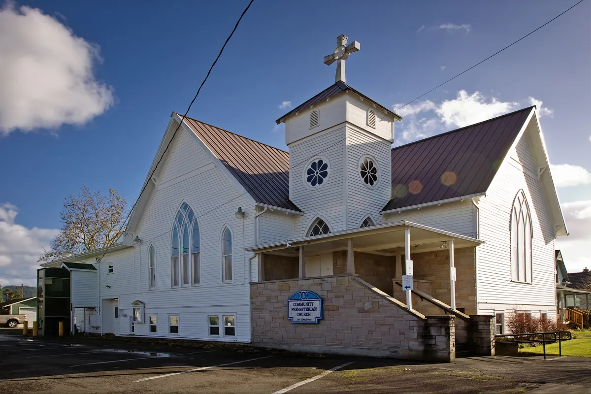
Event venues
Pharmacies
Hair salons
Restaurants
Streets nearby
South Cedar Street50 ft
Pearl Avenue250 ft
North River RoadFoothills Historical Society, Living & Working In The Woods, Forest Sentinels
350 ft
Cottage Street North350 ft
Cedar StreetBuckley
400 ft
Cottage Street South450 ft
Foothills TrailBuckley Hall, Buckley Kiwanis Food Bank, Crossing The Plateau, Vulcan Yarder Or Steam Donkey, Welcome To Buckley, Buckley Log Show, Foothills Rails-to-Trails Coalition, Dr. Douglas A. "Doc" Tait, A Living Land, Buckley, The Early Years
0.2 mi
A Street North0.2 mi
B Street North0.2 mi
B Street South0.2 mi
Park AvenueMount Rainier Creamery & Market
0.2 mi
North Fulton Street0.2 mi
Fulton Street0.2 mi
C Street0.2 mi
C Street North0.2 mi
C Street South0.3 mi
Norma Street0.3 mi
D Street0.3 mi
D Street North0.3 mi
Bus Loop Road0.4 mi
Cemetery Road0.4 mi
North River Avenue0.4 mi
Areas nearby
Buckley Log Show Grounds0.3 mi
Shops nearby
Ebon Screen Printing & Graphic Design100 ft
The Queen's Ransom150 ft
Buckley Feed & Farm Supply200 ft
Buildings nearby
Trolson Professional Building150 ft
Citizens State Bank of Buckley Building250 ft
Mt. Rainier Realty300 ft
Edward Jones300 ft
Saw Shop500 ft
Bunkhouse500 ft
Lookout Tower0.1 mi
Cabins nearby
Historic Ranger Station550 ft
Cemeteries nearby
Buckley Cemetery0.4 mi
Community centers nearby
Odd Fellows Hall150 ft
Buckley Senior Center400 ft
Dentist's offices nearby
Buckley Dental Care250 ft
Doctor's offices nearby
White River Family Care0.2 mi
Funeral homes nearby
Weeks' Funeral Home & Cremation0.4 mi
Hair salons nearby
Salon 790300 ft
Pet stores nearby
Aloha Tiki Tails Salon200 ft
Places of worship nearby
Calvary Baptist Church0.1 mi
Police stations nearby
Buckley Police Department250 ft
Pubs nearby
Firehouse Pub300 ft
Restaurants nearby
Georgio's Italian Kitchen200 ft
Big Burger & Teriyaki250 ft
Wally's Drive In0.2 mi
Secondhand stores nearby
The Queens Ransom200 ft
 Public transit map Buckley Legend
| Railway | |
| Bus | |
| Streetcar |
 Bicycle map Buckley Legend
| Bike path | |
| Bike lane on roadway | |
| Cycling allowed on bus lane | |
| Bicycle street | |
| Open to cyclists | |
| Open to cyclists, good path | |
| Cycling prohibited | |
| Cobblestone |
| Long-distance bike route | (depending on scale) | |
| Long-distance bike route |
 Pedestrian map Buckley Legend
| Path |
| Long-distance hiking trail | (depending on scale) | |
| Long-distance hiking trail | ||
| Pedestrians prohibited |