
Zehnder Street in Sumner, Washington
Zehnder Street in Sumner is an asphalted local road. It runs in an east-west direction starting from Fryar Avenue and crosses Steele Avenue and Pease Avenue and ends at Wood Avenue. Nearby you can find a driving school, a cafe and an interior decorator. The nearest stop is Sumner (about 750 m away).
- Road Type
- local road
- Speed Limit
- 25 mph
- Route
- east-west
Image
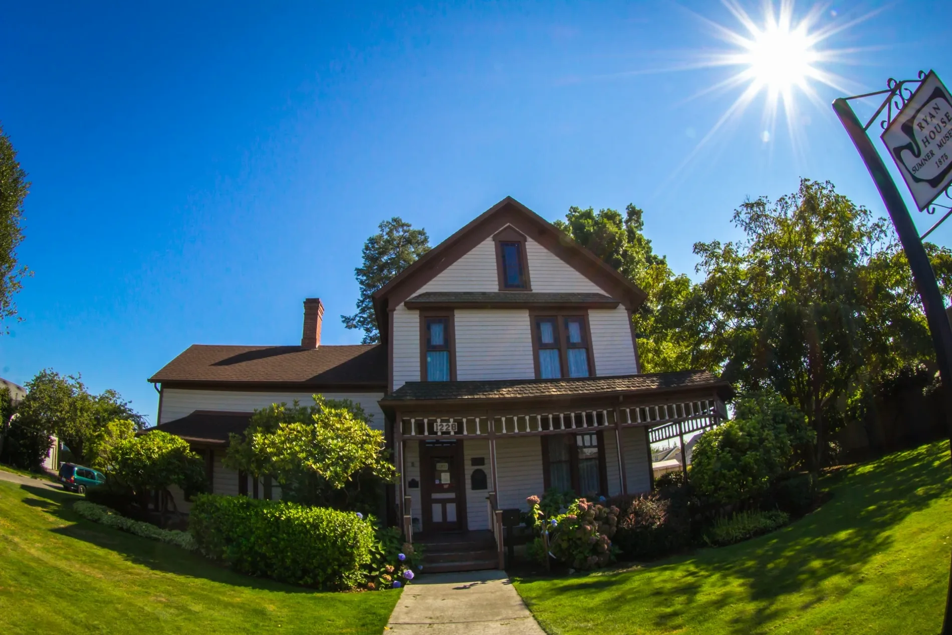
Driving schools
Interior decorators
Streets nearby
Pease Avenue350 ft
Everett Street500 ft
Wood Avenue500 ft
Steele Avenue0.1 mi
Sumner Avenue0.1 mi
Railroad Street0.1 mi
McMillan Avenue0.2 mi
57th Street EastUnited States Post Office - Sumner
0.2 mi
North StreetThe Buttered Biscuit
0.2 mi
Ryan AvenueCraft.19, Sora's Italian Cafe & Enoteca, Van Lierop Garden Market, Country Barn, The Standard on Main, Sumner Barber Shop
0.2 mi
Fryar Avenue0.3 mi
Cherry AvenueBlue Boutique, Sugar Babies, Tuscan Skin Studio, Lynae's Fashion Hair Design
0.4 mi
Maple StreetSumner Police Department, City Limits Deli Mart, Sumner
0.4 mi
Kincaid AvenueButterfly Kiss Photography, Out of the Attic, Joanne's Barber Shop, Shades Salon
0.4 mi
Alder AvenueChase, Sumner Cafe, Tarnished Boutique, Salon Keltrice, Astro Travel, Bangs Salon, Nicholson, Liqour & Wine, Off the Beaten Path
0.4 mi
Banks nearby
Heritage Bank0.3 mi
Buildings nearby
Xtreme Motorworks300 ft
Sumner Professional Center0.3 mi
Woodworker Store Annex0.4 mi
Cherry Ave Historic Building0.4 mi
Cafes nearby
Homestead Brew0.3 mi
Car dealerships nearby
Sunset Trucks0.4 mi
Churches nearby
Sumner United Methodist Church0.4 mi
Clinics nearby
Cornerstone Medical Clinic0.3 mi
Commercial buildings nearby
Evergreen Building0.2 mi
Main Street Dairy Freeze0.3 mi
CTW Law Firm0.3 mi
Bonney Lake Bicycle of Sumner0.3 mi
Convenience stores nearby
Day & Night Grocery0.3 mi
Food Mart0.4 mi
Disused railways nearby
Union Pacific Railroad0.2 mi
Gas stations nearby
Arco0.4 mi
Hardware stores nearby
McLendon Hardware0.3 mi
Sumner Woodworker Store0.4 mi
Industrial areas nearby
AIM Aerospace - Sumner Operations0.2 mi
Industrial buildings nearby
Bennett Building0.3 mi
Laundries nearby
Sumner Laundromat0.2 mi
Parks nearby
Ryan Park0.3 mi
Reuben Knoblauch Heritage Park0.4 mi
Railways nearby
BNSF Seattle Subdivision300 ft
Residential areas nearby
The Alsina Apartments0.1 mi
The Weaver0.4 mi
Restaurants nearby
Teriyaki House0.3 mi
Trackside Pizza0.3 mi
Retail buildings nearby
Sumner West Building0.3 mi
School buildings nearby
Sumner School District Administration Office0.2 mi
Town halls nearby
Sumner City Hall0.4 mi
Warehouses nearby
C.R. Gutters Inc.450 ft
Other nearby
Sumner Substation400 ft
 Public transit map Sumner Legend
| Railway | |
| Bus | |
| Streetcar |
 Bicycle map Sumner Legend
| Bike path | |
| Bike lane on roadway | |
| Cycling allowed on bus lane | |
| Bicycle street | |
| Open to cyclists | |
| Open to cyclists, good path | |
| Cycling prohibited | |
| Cobblestone |
| Long-distance bike route | (depending on scale) | |
| Long-distance bike route |
 Pedestrian map Sumner Legend
| Path |
| Long-distance hiking trail | (depending on scale) | |
| Long-distance hiking trail | ||
| Pedestrians prohibited |