
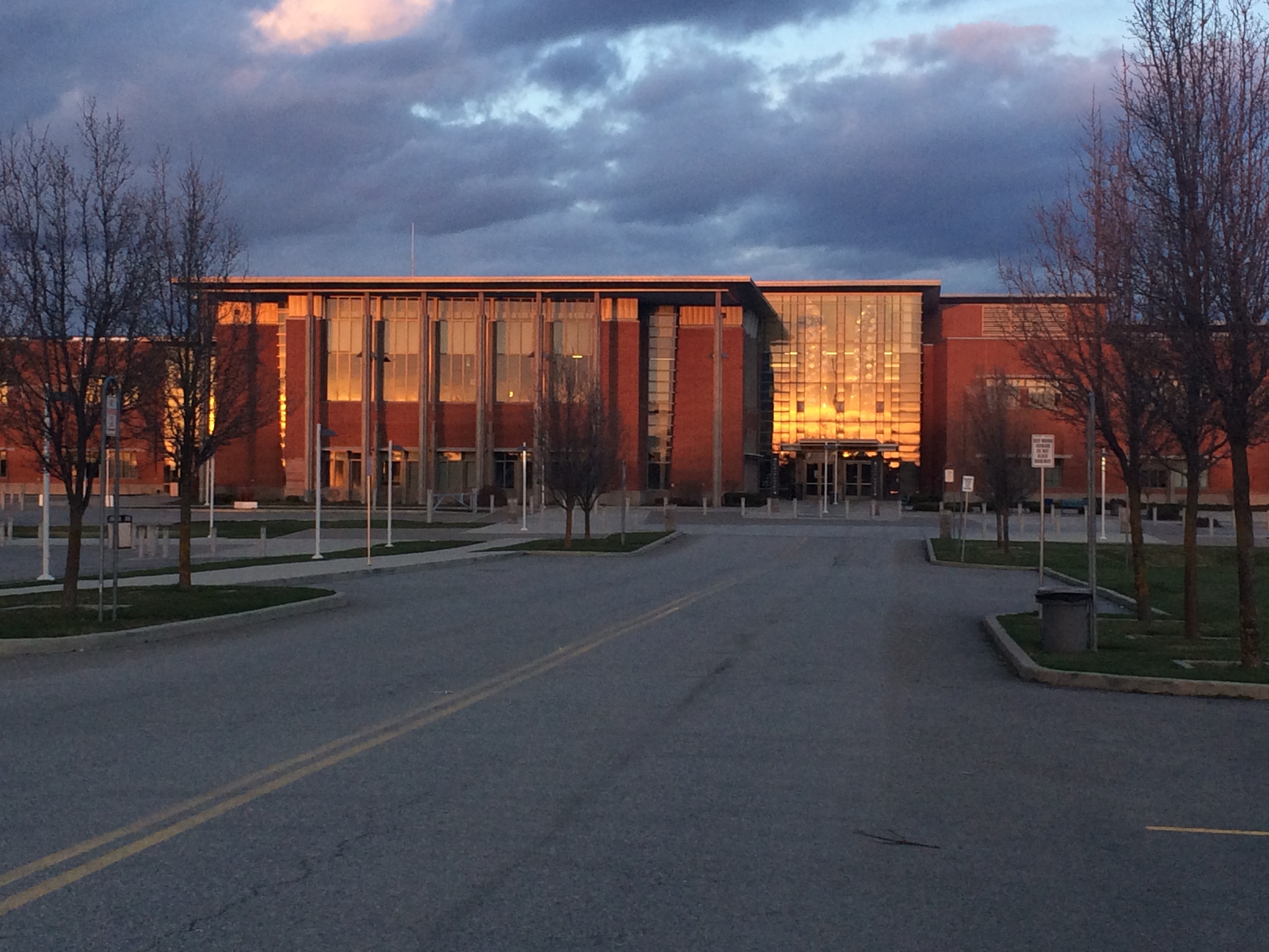
South Pioneer Court in Spokane Valley, Washington
South Pioneer Court in Spokane Valley is a residential street and runs in a north-south direction starting from East 11th Avenue and ends in a cul-de-sac.
- Road Type
- residential street
- Route
- north-south
Image
Restaurants
Ice cream shops
Bakeries
Pharmacies
Bus stops
Massage therapy clinics
Beauty salons
Theaters
Cafes
Fast food restaurants
Banks
Bed stores
Streets nearby
South Sullivan RoadSullivan @ 16th, Sullivan @ 8th, Mongolian BBQ, Sullivan @ 4th, Walgreens, Global Credit Union, Subway, Celebrations Bakery, Sullivan @ Sprague
0.1 mi
East 9th Avenue0.1 mi
South Timberlane Drive0.2 mi
South Homestead Court0.2 mi
South Saint Charles Road0.2 mi
East 13th AvenueUniversity @ 13th
0.2 mi
South Century Road0.2 mi
South Homestead Street0.2 mi
South Century Court0.3 mi
East 11th AvenueSullivan @ 11th
0.3 mi
East 16th Avenue16th @ Bowdish, 16th @ Union, 16th @ Pierce, 16th @ University, University @ 16th, No Drought Brewing Co., Evergreen @ 16th, 16th @ Adams, 16th @ Evergreen, Sullivan @ 16th, 16th @ Progress, 16th @ 14210 E, 16th @ E. 14204, 16th @ Pines
0.3 mi
South Rotchford Drive0.3 mi
East Kallas Court0.4 mi
South Saint Charles Street0.4 mi
East 6th AvenueRecessTime, Studio 525
0.4 mi
East 15th Avenue0.4 mi
East 17th Avenue0.4 mi
South St. Charles Street0.4 mi
South Newer Road0.4 mi
East 5th AvenuePark @ 5th
0.4 mi
East 6th Lane0.4 mi
South Burns Road0.4 mi
East 10th AvenuePines @ 10th
0.4 mi
East 17th Curt0.4 mi
East 8th AvenueSullivan @ 8th, 8th @ McKinnion, 8th @ Woodlawn, 8th @ Custer, 8th @ Carnahan, 8th @ McKinnon, 8th @ Havana, Pines @ 8th, 8th @ Thierman, 8th @ Park, 8th @ Eastern, 8th @ Fancher
0.5 mi
East 18th Court0.5 mi
East 19th Lane0.5 mi
South Progress Road16th @ Progress
0.5 mi
South Marigold Court0.5 mi
East 19th Court0.5 mi
South Century Lane0.5 mi
South Marigold Street0.5 mi
South Lucille Lane0.5 mi
South Newer Lane0.5 mi
East 14th Avenue0.5 mi
South Marcus Road0.6 mi
South Adams Road0.6 mi
East 17th Court0.6 mi
South Joyce Lane0.6 mi
Artworks nearby
CVHS Bear Statue0.2 mi
Coffee shops nearby
Swell Coffee0.3 mi
Convenience stores nearby
Nom Nom0.4 mi
Dentist's offices nearby
Turner Dental0.4 mi
Fast food restaurants nearby
Domino's0.3 mi
Places of worship nearby
The Church of Jesus Christ of Latter-day Saints450 ft
Genesis Church of Spokane0.2 mi
Episcopal Church of the Resurrection0.3 mi
Spokane Valley Seventh-Day Adventist Church0.4 mi
Veterinary clinics nearby
Pet Vet0.4 mi
Public transit map Spokane Valley Legend
| Railway | |
| Bus | |
| Streetcar |
Bicycle map Spokane Valley Legend
| Bike path | |
| Bike lane on roadway | |
| Cycling allowed on bus lane | |
| Bicycle street | |
| Open to cyclists | |
| Open to cyclists, good path | |
| Cycling prohibited | |
| Cobblestone |
| Long-distance bike route | (depending on scale) | |
| Long-distance bike route |
Pedestrian map Spokane Valley Legend
| Path |
| Long-distance hiking trail | (depending on scale) | |
| Long-distance hiking trail | ||
| Pedestrians prohibited |