
Riparian Forest Overlook Trail in Olympia, WA 98516
Riparian Forest Overlook Trail in Olympia, WA 98516 (Thurston County) is a footpath. It runs in an east-west direction and ends in a cul-de-sac. Nearby you can find 3 tourist information centers and a viewpoint.
- Bicycle
- no
- Road Type
- footpath
- Route
- east-west
Image
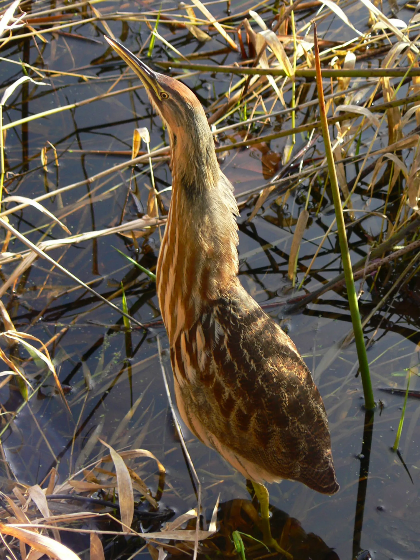
Viewpoints
Streets nearby
Brown Farm Road Northeast0.2 mi
Twin Barns Loop TrailNisqually Nature Shop, Seasons Of The Refuge, Wildlife Of Freshwater Wetlands, Nisqually River Overlook, Environmental Study Area, The Dynamic River, People Of The River: The Nisqually Tribe, Nisqually River Salmon: A Story Of Survival, Warbling Vireo, Wilson's Warbler, Yellow Runped Warbler, Song Sparrow, Watch And Listen For Songbirds, Yellow Warbler, Yellow Flycatcher, Freshwater Wetlands Overlook, Canada Geese, Large And Small, Grasslands Overlook, Great Bleu Heron, Bald Eagle, Northern Harrier, American Goldfinch, Willow Thickets Are A Haven For Birds
0.2 mi
Conine Avenue Southeast0.5 mi
Nisqually Cutoff Road Southeast0.6 mi
Nisqually Estuary TrailTwin Barns Observation Platform, Farming On The Delta, The Brown Farm: An Experiment In Modern Agriculture, Band-tailed Pigeons, Habitats Of The Nisqually Delta, Birds Of Prey: Designed For Performance, The Golden Crown Sparrow
0.6 mi
Nisqually Cut Off Road Northeast0.7 mi
Conine Street Southeast0.7 mi
Nisqually Road SouthwestNisqually Junction
0.8 mi
Martin Way EastOld Hickory Sheds, Martin Way and 7837 Martin [eb], Martin Way and Blue Moon MHP [wb], Simple and Delicious, Mt. Fuji Japanese Steak House, Gibson's Custom Meats, Long John Silver's, KFC, Arirang Oriental Market, Emperor's Palace, Martin Way and Ranger [eb], Martin Way and Kingham [wb], Bimbo Bakeries USA, Titus Will Cars, Martin Way and Carpenter [eb], Puget Sound Computer Repair, #1 Korean BBQ, Martin Way and Tanglewilde Village [eb], Star Rentals, Auto Plus, 7-Eleven, Andy's Automotive, Martin Way and Kinwood [eb], Commercial Driving School, Martin Way and Kinwood [wb], Martin Way and Hensley [wb], Ace BBQ, Martin Way and Kingham [eb], Martin Way and Franz Bakery [wb], Dank's Wonder Emporium, Franz Bakery Outlet
0.9 mi
Golson Road Southeast1.0 mi
Old Pacific Highway SoutheastNisqually
1.0 mi
Kuhlman Road Southeast1.0 mi
Winlock Court Southeast1.1 mi
River Bend Lane Southeast1.1 mi
Mounts Road Southwest1.1 mi
Perimeter Road1.1 mi
Hayko Lane Southeast1.2 mi
Nisqually Estuary Boardwalk TrailPuget Sound Viewing Platform, McAllister Creek Viewing Platform, Seasonal Trail Closure, Observation Tower, Shannon Slough Blind, Not All Wetlands Are Wet Year Round, Bald Eagles: Making A Comeback, What's In The Mud? The Hidden Life Of The Estuary, Look-Alike Gulls Don't Act Alike
1.2 mi
Nisqually View Loop Northeast1.2 mi
6th Avenue Southeast1.2 mi
Nisqually Vista Court Northeast1.2 mi
Gardner Court Southeast1.3 mi
Memory Court Southeast1.3 mi
Barns nearby
Twin Barns0.4 mi
Bars nearby
Nisqually Bar & Grill0.7 mi
Buildings nearby
Environmental Educational Center0.2 mi
Nisqually DNR Outbuilding1.2 mi
Nisqually Indian Tribe Culture Center1.3 mi
Cafes nearby
Nisqually Express Espresso & Tobacco0.7 mi
Commercial buildings nearby
Nisqually Automotive & Towing0.8 mi
Convenience stores nearby
Food Mart0.8 mi
ampm0.8 mi
Dams nearby
Nisqually Trout Farm Dam1.2 mi
Gas stations nearby
Chevron0.8 mi
Arco0.8 mi
Government buildings nearby
Nisqually Indian Tribe Department of Natural Resources1.2 mi
Industrial areas nearby
Maintenance Shops0.2 mi
Museums nearby
Norm Dicks Visitor Center0.2 mi
Railways nearby
Sounder Lakewood Subdivision0.7 mi
BNSF Seattle Subdivision1.1 mi
Residential areas nearby
Claudia's Mobile Park Estates1.0 mi
Restaurants nearby
Medicine Creek Cafe0.7 mi
Rivers nearby
Nisqually River0.4 mi
Rv parks nearby
Nisqually RV Park0.7 mi
School buildings nearby
Nisqually School (historic)0.8 mi
Schools nearby
WA He Lut Indian School0.5 mi
Streams nearby
McAllister Creek0.6 mi
Leschi Slough0.8 mi
Red Salmon Creek1.1 mi
 Public transit map Thurston County Legend
| Railway | |
| Bus | |
| Streetcar |
 Bicycle map Thurston County Legend
| Bike path | |
| Bike lane on roadway | |
| Cycling allowed on bus lane | |
| Bicycle street | |
| Open to cyclists | |
| Open to cyclists, good path | |
| Cycling prohibited | |
| Cobblestone |
| Long-distance bike route | (depending on scale) | |
| Long-distance bike route |
 Pedestrian map Thurston County Legend
| Path |
| Long-distance hiking trail | (depending on scale) | |
| Long-distance hiking trail | ||
| Pedestrians prohibited |