
Resevoir Road in Madison, West Virginia
Resevoir Road in Madison is a residential street and it runs in a northeast-southwest direction starting from Summit Avenue and crosses Virginia Avenue and ends at West Avenue.
- Road Type
- residential street
- Route
- northeast-southwest
Image
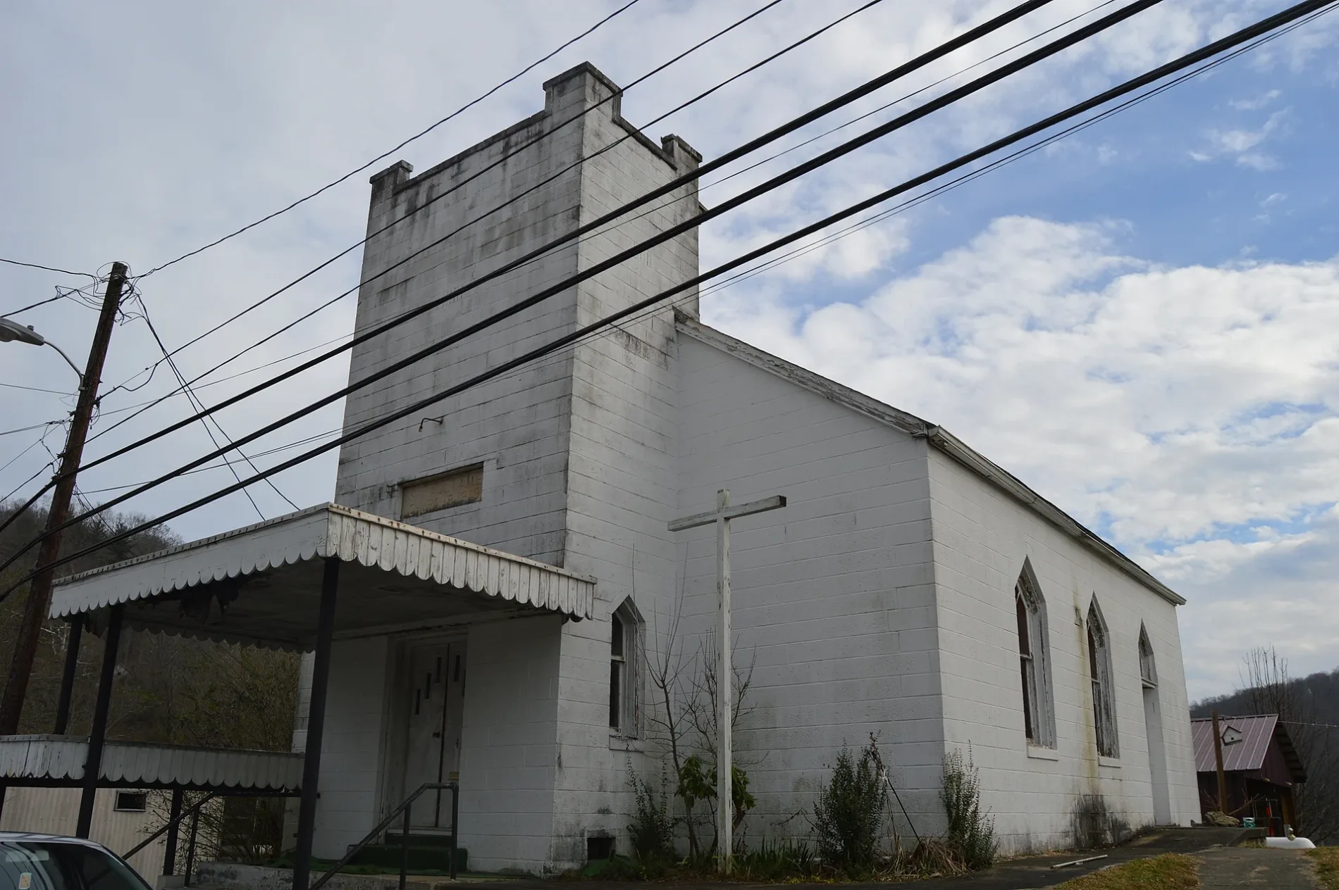
Opticians
Cemeteries
Streets nearby
West Avenue150 ft
Virginia Avenue250 ft
Wilson Street250 ft
Leftwich Avenue400 ft
Summit Avenue400 ft
Thompson Street450 ft
Haddad Place450 ft
Madison Avenue500 ft
Berry Plaza0.1 mi
Josephine Avenue0.1 mi
Hager Street0.1 mi
Howell Place0.1 mi
Main Street0.2 mi
Roseview Avenue0.2 mi
Turley Street0.2 mi
Meadow Court0.2 mi
State StreetMadison
0.2 mi
Jones Street0.2 mi
Miller Court0.2 mi
Second Street0.2 mi
Osborne Avenue0.2 mi
Bakers Place0.2 mi
Jackson Avenue0.2 mi
Byrnside Court0.2 mi
East Griffith Place0.2 mi
Walnut Avenue0.2 mi
Back Alley Drive0.2 mi
Avenue B0.2 mi
Veterans Bypass0.2 mi
Washington Avenue0.2 mi
Avenue C0.3 mi
Third StreetChaney Eye Care
0.3 mi
Court Street0.3 mi
West Griffith Place0.3 mi
Ohio Place0.3 mi
Firehouse Square0.3 mi
Coal Avenue0.3 mi
Smoot Avenue East0.3 mi
Hillside Avenue0.3 mi
Walk Bridge0.3 mi
Price Lane0.4 mi
Buildings nearby
Madison National Bank0.1 mi
Madison Civic Center0.3 mi
Madison City Hall0.3 mi
Courthouses nearby
Boone County Courthouse0.2 mi
Boone County Courthouse Annex0.2 mi
Libraries nearby
Boone-Madison Public Library0.1 mi
Places of worship nearby
Saint Mary Catholic Church550 ft
Sports fields nearby
Madison Little League0.3 mi
 Public transit map Madison Legend
| Railway | |
| Bus | |
| Streetcar |
 Bicycle map Madison Legend
| Bike path | |
| Bike lane on roadway | |
| Cycling allowed on bus lane | |
| Bicycle street | |
| Open to cyclists | |
| Open to cyclists, good path | |
| Cycling prohibited | |
| Cobblestone |
| Long-distance bike route | (depending on scale) | |
| Long-distance bike route |
 Pedestrian map Madison Legend
| Path |
| Long-distance hiking trail | (depending on scale) | |
| Long-distance hiking trail | ||
| Pedestrians prohibited |