
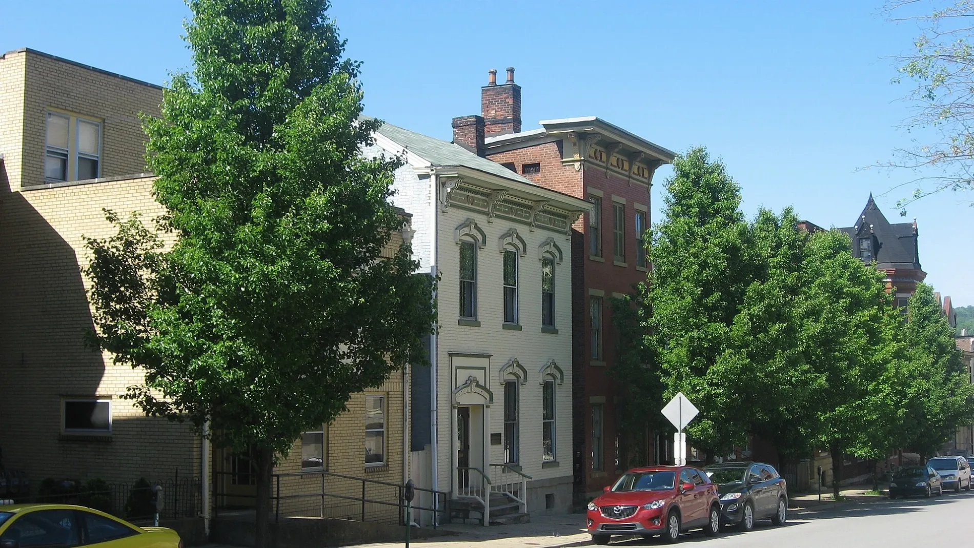
Lane D in Wheeling, West Virginia
Lane D in Wheeling is a service road and it runs in a north-south direction and crosses 11th Street and Eoff Street. Nearby you can find a school, a place of worship, a courthouse and a town hall.
- Road Type
- service road
- Route
- north-south
Image
Streets nearby
Chapline StreetFirst United Presbyterian Church, Wheeling Post Office, Carin's Pub, Saint James Evangelical Lutheran Church
250 ft
Lane CMoose Lodge
400 ft
Lane 7450 ft
11th Street Plaza0.1 mi
Bridge StreetCapitol Parking Garage
0.1 mi
Market PlazaClutch Gaming
0.1 mi
Lane BThe Terminal Room, River City Banquet Hall
0.2 mi
11th StreetBobo the Elephant, Tortoise
0.2 mi
Wheeling Heritage TrailHeritage Port Amphitheater
0.2 mi
10th StreetCard and Soul Tarot, Wheeling Coin And Hobby, Bridge Tavern & Grill
0.2 mi
Lane 6Friends of Wheeling
0.2 mi
Wheeling Suspension Bridge0.2 mi
Shops nearby
Dyagon Alley0.1 mi
DL's Hair & Clothing0.1 mi
Apartment buildings nearby
Montani Towers Apartments0.2 mi
Stone Center Lofts0.2 mi
Windsor Manor0.2 mi
The Doris on Main0.2 mi
Banks nearby
United Bank0.2 mi
Truist0.2 mi
Buildings nearby
Information & Referral Services450 ft
The Health Plan0.1 mi
THRIVE Wheeling0.2 mi
State Farm0.2 mi
I-C Care0.2 mi
Schneider Photography Studio0.2 mi
Mull Center0.2 mi
Cafes nearby
Mugshots0.2 mi
Candy stores nearby
Lucky Candies 20.1 mi
Mmm Popcorn0.1 mi
Commercial buildings nearby
Kalbitzer Building550 ft
Egerter Building0.1 mi
Ohio Valley Building0.2 mi
Kaufman's Building0.2 mi
Construction sites nearby
DiCarlo Building0.2 mi
Wheeling Visitors Center0.2 mi
Doctor's offices nearby
Western Dermatology500 ft
Wheeling Foot Clinic0.2 mi
Drugstores nearby
CVS Pharmacy0.1 mi
Fast food restaurants nearby
Subway0.1 mi
Fitness centers nearby
Ohio Valley MMA0.1 mi
Hospitals nearby
Wheeling Hospital Urgent Care0.2 mi
Music schools nearby
Wheeling Jamboree0.2 mi
Parking lots nearby
Market Street Garage400 ft
10th Street Parking Garage0.2 mi
Parks nearby
Wheeling Heritage Port Sculpture Garden0.2 mi
Party supply stores nearby
Stages0.2 mi
Playgrounds nearby
Heritage Port Playground0.2 mi
Schools nearby
Youth Services System - Northern Regional Juvenile Detention Facility300 ft
Theaters nearby
Capitol Theatre0.2 mi
Public transit map Wheeling Legend
| Railway | |
| Bus | |
| Streetcar |
Bicycle map Wheeling Legend
| Bike path | |
| Bike lane on roadway | |
| Cycling allowed on bus lane | |
| Bicycle street | |
| Open to cyclists | |
| Open to cyclists, good path | |
| Cycling prohibited | |
| Cobblestone |
| Long-distance bike route | (depending on scale) | |
| Long-distance bike route |
Pedestrian map Wheeling Legend
| Path |
| Long-distance hiking trail | (depending on scale) | |
| Long-distance hiking trail | ||
| Pedestrians prohibited |