
Karen Street in Summersville, West Virginia
Karen Street in Summersville is a two-lane residential street and it runs in an east-west direction starting from Sarah Street and ends in a cul-de-sac.
- Road Type
- residential street
- Lanes
- 2
- Route
- east-west
Image
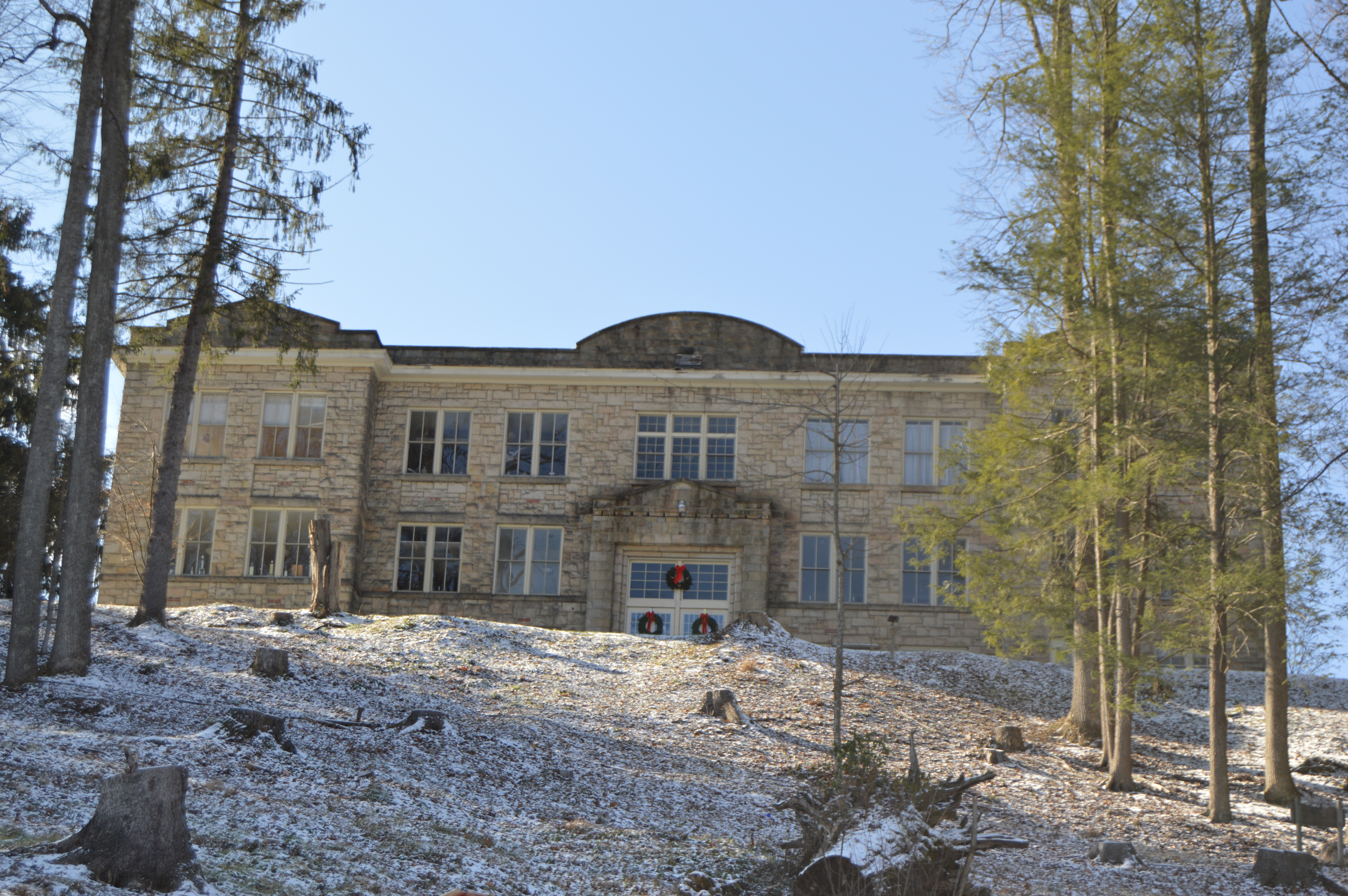
Funeral homes
Hair salons
Fire stations
Restaurants
Clinics
Supplement stores
Places of worship
Schools
Variety stores
Auto repair shops
Department stores
Cell phone stores
Jewelry stores
Sporting goods stores
Streets nearby
Ann Drive350 ft
Sarah Street350 ft
Michaels Circle400 ft
Little Street400 ft
Bright Mountain Road450 ft
Brian Way450 ft
Johnny Joe Circle500 ft
Elizabeth Way500 ft
Valentine Circle0.1 mi
Turnpike Road0.2 mi
Morrison Circle0.2 mi
Old Main Drive0.3 mi
Johnson Lane0.3 mi
Davis Street0.3 mi
Lisa Lane0.3 mi
Bennett Avenue0.3 mi
Alderson Avenue0.3 mi
Sid's WayMountain State Christian Academy
0.4 mi
Town Mountain Road0.4 mi
Hill Street0.4 mi
Reddy Street0.4 mi
Oak Street0.4 mi
West Groves Street0.4 mi
Spruce Street0.4 mi
Main StreetSummersville, Bright Mountain Estates
0.4 mi
Playground Drive0.4 mi
Ridgemont Drive0.4 mi
Spirit Lane0.5 mi
Grade School Lane0.5 mi
Whortleberry Avenue0.5 mi
Haymond Street0.5 mi
Broad StreetCalvary Baptist Church, Southern Baptist Fellowship Church
0.5 mi
Water Street0.5 mi
Autumn Drive0.5 mi
Duffy StreetWhite Funeral Home
0.5 mi
North Broad StreetSummersville Church of God
0.5 mi
Buildings nearby
Nicholas County Board of Education0.2 mi
Nicholas County Alternative Learning Center0.3 mi
Old Main Gym0.4 mi
Senior Center0.4 mi
Nicholas Pharmacy0.4 mi
Fran's0.4 mi
Summersville Municipal Building0.5 mi
Summersville Moose Lodge0.5 mi
Places of worship nearby
Summersville Presbyterian Church0.4 mi
Summersville Baptist Church0.4 mi
Pubs nearby
Mayor's Place0.4 mi
Restaurants nearby
Fran's Family Restaurant0.5 mi
Thrift stores nearby
Last Shepherd Thrift Store0.5 mi
Public transit map Summersville Legend
| Railway | |
| Bus | |
| Streetcar |
Bicycle map Summersville Legend
| Bike path | |
| Bike lane on roadway | |
| Cycling allowed on bus lane | |
| Bicycle street | |
| Open to cyclists | |
| Open to cyclists, good path | |
| Cycling prohibited | |
| Cobblestone |
| Long-distance bike route | (depending on scale) | |
| Long-distance bike route |
Pedestrian map Summersville Legend
| Path |
| Long-distance hiking trail | (depending on scale) | |
| Long-distance hiking trail | ||
| Pedestrians prohibited |