
McKees Creek Road in Summersville, West Virginia
McKees Creek Road in Summersville is a residential street (Road number CR 19/13). It runs in a northeast-southwest direction starting from Broad Street and crosses Alderson Avenue, Orchard Street, Grade School Lane, Playground Drive, Breckinridge Road, Town Mountain Road, Locust Street, Lone Tree Drive and Wiseman Road and ends at Cira Street. Nearby there is a place of worship.
- Road Type
- residential street
- Route
- northeast-southwest
Image
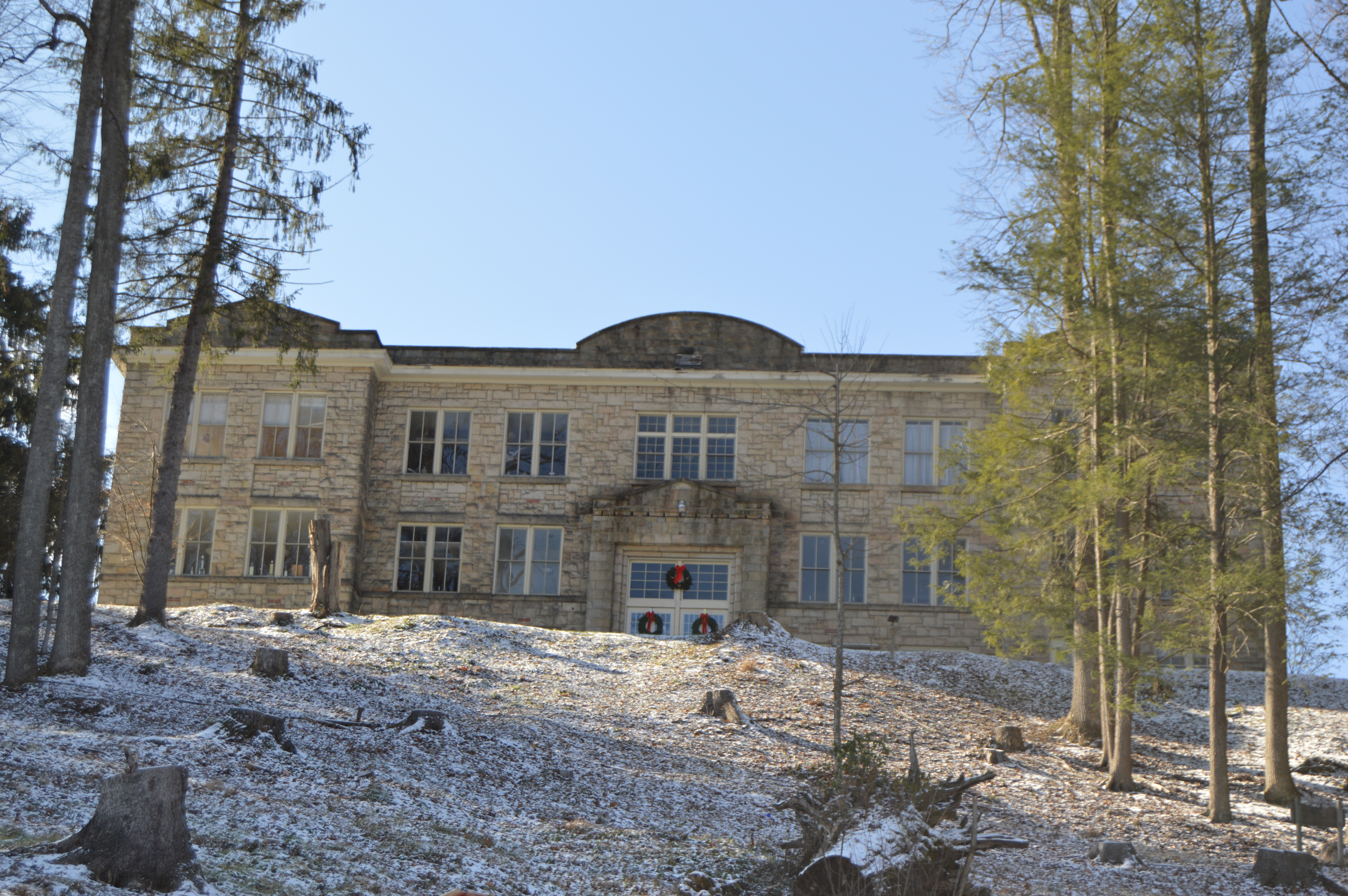
Places of worship
Streets nearby
Grade School Lane500 ft
Caspar Drive550 ft
Mason Drive0.1 mi
Playground Drive0.1 mi
Shunk Drive0.2 mi
Breckinridge RoadSaint Martins Church
0.2 mi
Orchard Street0.2 mi
Spirit Lane0.2 mi
Locust Street0.2 mi
Hamilton Street0.2 mi
Duffy StreetWhite Funeral Home
0.2 mi
Oak Street0.2 mi
Sid's WayMountain State Christian Academy
0.2 mi
Lone Tree Drive0.2 mi
Hill Street0.2 mi
Woodlawn Drive0.2 mi
Clearwood Lane0.2 mi
Alderson Avenue0.2 mi
Wiseman Road0.3 mi
Arbuckle RoadSummersville Fire Station, Bailey's Tire & Muffler, INC.
0.3 mi
Pike Street0.3 mi
Whortleberry Avenue0.3 mi
Church StreetBarber Shop
0.3 mi
Old Wilderness Road0.3 mi
Spruce Street0.3 mi
Court Street0.3 mi
Cira Street0.3 mi
Vaught Street0.4 mi
Dotson CourtNew Life Christian Academy
0.4 mi
Broad StreetSouthern Baptist Fellowship Church, Calvary Baptist Church
0.5 mi
Hunters Ridge Road0.5 mi
Dominick Circle0.6 mi
Buildings nearby
Senior Center0.2 mi
Old Main Gym0.2 mi
White's Funeral Home0.2 mi
Family Dollar0.3 mi
Car Wash0.3 mi
Summersville Moose Lodge0.3 mi
Fran's0.3 mi
LeRose Plaza0.4 mi
Convenience stores nearby
GoMart0.3 mi
Courthouses nearby
Nicholas County Courthouse0.4 mi
Parks nearby
Summersville Park0.3 mi
Places of worship nearby
Summersville Baptist Church0.3 mi
Pubs nearby
Maloney's Sports Pub0.4 mi
Restaurants nearby
Pizza Hut0.3 mi
Streams nearby
Arbuckle Branch0.1 mi
Supermarkets nearby
Save-A-Lot0.3 mi
Thrift stores nearby
Last Shepherd Thrift Store0.3 mi
Public transit map Summersville Legend
| Railway | |
| Bus | |
| Streetcar |
Bicycle map Summersville Legend
| Bike path | |
| Bike lane on roadway | |
| Cycling allowed on bus lane | |
| Bicycle street | |
| Open to cyclists | |
| Open to cyclists, good path | |
| Cycling prohibited | |
| Cobblestone |
| Long-distance bike route | (depending on scale) | |
| Long-distance bike route |
Pedestrian map Summersville Legend
| Path |
| Long-distance hiking trail | (depending on scale) | |
| Long-distance hiking trail | ||
| Pedestrians prohibited |