
15th Place in Wheeling, West Virginia
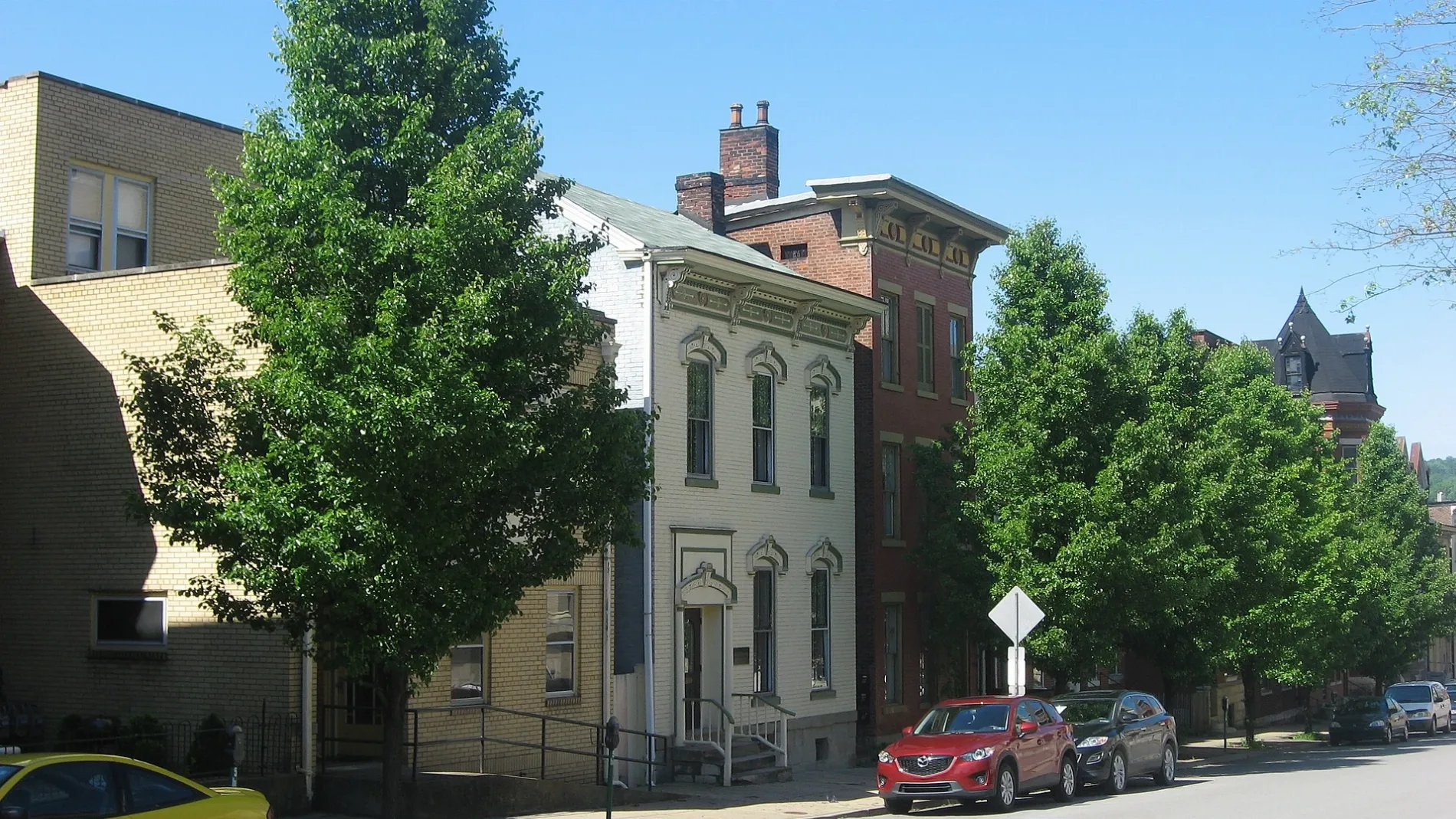
15th Place in Wheeling is a service road. It runs in an east-west direction starting from Main Street and crosses Lane B, Market Street and Lane C and ends at Chapline Street.
- Road Type
- service road
- Route
- east-west
Image
Event venues
Bus stops
Supermarkets
Courthouses
Prisons
Bookstores
Community centers
Places of worship
Tourist information centers
Jewelry stores
Beauty salons
Hair salons
Restaurants
Artworks
Town halls
Cafes
Music stores
Galleries
Streets nearby
South Street350 ft
Lane CMoose Lodge
350 ft
Nailers WayWheeling Visitors Center
400 ft
14th StreetThe Public Market, Wheeling Nailers Team Store, Wheeling Catholic Elementary School, Wheeling Artisan Center Shop, Second United Presbyterian Church, Downtown Wheeling Historic District
500 ft
Greater Wheeling Trail0.1 mi
Lane 90.1 mi
Main StreetBB&T, Capitol Parking Garage, Wheeling Bus Stop, The Pump Shop
0.2 mi
20th Street0.2 mi
12th StreetMonroe Street East Historic District, Studio 66, Elle & Jack's, Nail City Records, Vagabond Kitchen
0.2 mi
Water StreetHeron, Avenue Eats, The Wood Fired Pizza Co.
0.2 mi
Lane BThe Terminal Room, River City Banquet Hall
0.2 mi
Apartment buildings nearby
Flatiron Building250 ft
Boury Lofts400 ft
Windsor Manor0.2 mi
Arts centers nearby
Wheeling Artisan Center350 ft
Auto repair shops nearby
Straub Collision Center0.1 mi
Banks nearby
United Bank150 ft
WesBanco450 ft
Main Street Bank0.2 mi
Truist0.2 mi
Buildings nearby
Mechanical Building100 ft
Century Centre0.1 mi
Undo's Catering0.2 mi
Cafes nearby
Paramount Coffee550 ft
Commercial buildings nearby
Central Union Building250 ft
National Equipment Co.0.1 mi
German Fire Insurance Building0.1 mi
McLain Building0.2 mi
Absure Tower0.2 mi
Community centers nearby
Helping Heroes0.1 mi
Bishop Bernard W. Schmitt Catholic Charities Center0.2 mi
Construction sites nearby
1400 Market Block150 ft
Robrecht Park0.1 mi
Event venues nearby
Waterfront Hall0.1 mi
Fast food restaurants nearby
DiCarlo's Pizza - Wheeling0.1 mi
Hair salons nearby
Comas Family Barber Shop450 ft
Hotels nearby
McLure House Ramada0.2 mi
Industrial buildings nearby
Discount Building Supplies 20.1 mi
Museums nearby
West Virginia Independence Hall350 ft
Office buildings nearby
The Hub on Market550 ft
Kaley Center0.1 mi
Wagner Building0.2 mi
Parking lots nearby
Robert C. Byrd Intermodal Transportation Center450 ft
Parks nearby
Wheeling Heritage Port0.1 mi
School buildings nearby
Applied Technology Center200 ft
Student Union450 ft
Stadiums nearby
WesBanco Arena450 ft
Tea shops nearby
Wheeling Coffee & Spice Co.450 ft
Theaters nearby
Victoria Theater0.1 mi
 Public transit map Wheeling Legend
| Railway | |
| Bus | |
| Streetcar |
 Bicycle map Wheeling Legend
| Bike path | |
| Bike lane on roadway | |
| Cycling allowed on bus lane | |
| Bicycle street | |
| Open to cyclists | |
| Open to cyclists, good path | |
| Cycling prohibited | |
| Cobblestone |
| Long-distance bike route | (depending on scale) | |
| Long-distance bike route |
 Pedestrian map Wheeling Legend
| Path |
| Long-distance hiking trail | (depending on scale) | |
| Long-distance hiking trail | ||
| Pedestrians prohibited |