
3rd Street in Parkersburg, West Virginia
3rd Street in Parkersburg is a residential street. It runs in a southeast-northwest direction starting from Ann Street and crosses Juliana Street and South 3rd Street and ends at North 3rd Street. Nearby there is a town hall. 3rd Street also exists in Mineral County, Berkeley County, Preston County, Brooke County and Hancock County.
- Road Type
- residential street
- Speed Limit
- 25 mph
- Route
- southeast-northwest
Image
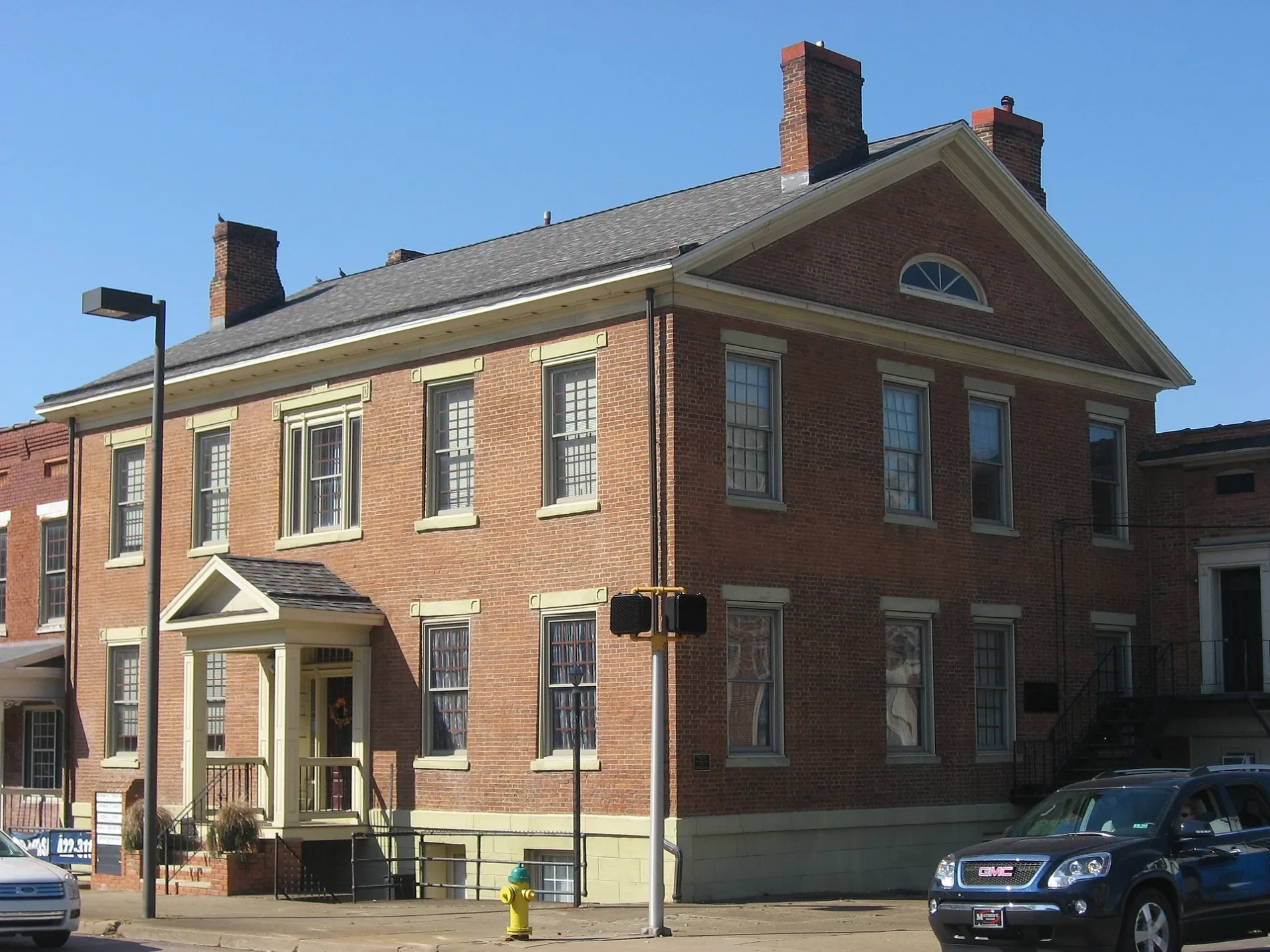
Town halls
Streets nearby
South 3rd Street350 ft
North 3rd Street350 ft
2nd Street450 ft
Market StreetFirst Baptist Church, Blennerhassett Antiques, Goldfinger Antique Mall, Select Office Services, TCB, Crystal Cafe, Chams Lebanese Cuisine, Parkersburg Art Center, Actors Guild
500 ft
4th Street500 ft
Ann StreetCorner Cafe
550 ft
Juliana StreetFirst Presbyterian Church, Parkersburg, Saint Francis Xaviers School, Trinity Episcopal Church
0.1 mi
5th Street0.2 mi
1st Street0.2 mi
Senator J. Frank Deem Memorial Bridge0.2 mi
Partersburg Ohio River TrailBlennerhassett Island Ferry
0.2 mi
Garfield AvenueEckels Orthodontics, Goodyear, City Perk
0.2 mi
Parkersburg–Belpre Bridge0.2 mi
Avery StreetFire Station Number 1
0.2 mi
Green Street0.3 mi
Milton StreetNewport
0.3 mi
Corridor DMountaineer Family Restaurant, Subway, OR Junction
0.3 mi
Banks nearby
WesBanco0.1 mi
Huntington ATM/Drive Thru0.1 mi
Huntington0.2 mi
Bars nearby
My Way Lounge & Restaurant0.2 mi
Buildings nearby
Courthouse Annex550 ft
Bureau of the Fiscal Service550 ft
Stage0.1 mi
Wood County Judicial Building0.1 mi
Davitan & Davitan0.2 mi
Car dealerships nearby
Matheny250 ft
Volvo550 ft
Courthouses nearby
Wood County Courthouse500 ft
Wood County Magistrate Court0.2 mi
Fast food restaurants nearby
Jimmy John's0.2 mi
Hotels nearby
Blennerhassett Hotel0.1 mi
Museums nearby
Oil & Gas Museum200 ft
Blennerhassett Museum of Regional History450 ft
Parking lots nearby
Towne Square parking ramp350 ft
Parks nearby
Bicentennial Park550 ft
Albert Woofter Park0.1 mi
Point Park0.2 mi
Picnic areas nearby
Underwood Shelter0.4 mi
Enoch Shelter0.4 mi
Police stations nearby
Wood County Sheriff's Office0.2 mi
Railways nearby
Ohio River Subdivision0.1 mi
Little Kanawha Industrial Track0.3 mi
Restaurants nearby
Third Street Deli0.2 mi
Kokomo's0.3 mi
Studios nearby
WTAP0.2 mi
Theaters nearby
Smoot Theatre0.2 mi
Tourist information centers nearby
Visit Greater Parkersburg0.2 mi
Other nearby
Parkersburg Floodwall0.1 mi
Public transit map Parkersburg Legend
| Railway | |
| Bus | |
| Streetcar |
Bicycle map Parkersburg Legend
| Bike path | |
| Bike lane on roadway | |
| Cycling allowed on bus lane | |
| Bicycle street | |
| Open to cyclists | |
| Open to cyclists, good path | |
| Cycling prohibited | |
| Cobblestone |
| Long-distance bike route | (depending on scale) | |
| Long-distance bike route |
Pedestrian map Parkersburg Legend
| Path |
| Long-distance hiking trail | (depending on scale) | |
| Long-distance hiking trail | ||
| Pedestrians prohibited |