
Franklin Alley in Parkersburg, West Virginia
Franklin Alley in Parkersburg is a service road and runs in a northeast-southwest direction starting from 10th Street and crosses 9th Street and ends at East 8th Street.
- Road Type
- service road
- Route
- northeast-southwest
Image
Schools
Restaurants
Furniture stores
Arcades
Hair salons
Places of worship
Community centers
Post offices
Electrical supply stores
Car dealerships
Cafes
Antique stores
Theaters
Viewpoints
Picnic areas
Auto repair shops
Streets nearby
7 1/2 Street400 ft
East 8th StreetParkersburg Catholic Elementary School
450 ft
7th StreetHonda, Jeep, Mitsubishi, Chevrolet, BP, DQ Grill & Chill, Tan-A-Lot, Seventh Street Car Wash, Ace Hardware, Speedee Wash, Haddox, NAPA Auto Parts, Veterans Museum, CVS Pharmacy, Philippines Best Food LLC, Mercedes-Benz, Ford, Hyundai, GoMart, Little Caesars, Custom Trucks Plus, Pennzoil, BB&T, JB's Complete Lube Center & Auto Repairs, Mango Latin Bistro, Simmon's Pre-owned Autos, Speedway, Jimmie Colombo's Italian Restaurant, Rubi's, Hardee's, Enterprise
500 ft
6th Street0.1 mi
9th Street0.2 mi
News and Sentinrl Half Marathon Finish Line0.2 mi
5th Street0.2 mi
Parkersburg–Belpre Bridge0.2 mi
Ann StreetCorner Cafe
0.2 mi
Market StreetFirst Baptist Church, Blennerhassett Antiques, Goldfinger Antique Mall, Select Office Services, TCB, Crystal Cafe, Chams Lebanese Cuisine, Parkersburg Art Center, Actors Guild
0.2 mi
Garfield AvenueEckels Orthodontics, Goodyear, City Perk
0.3 mi
Juliana StreetParkersburg, First Presbyterian Church, Saint Francis Xaviers School, Trinity Episcopal Church
0.3 mi
Avery StreetFire Station Number 1
0.3 mi
4th Street0.3 mi
Amenities nearby
WVU Health Building D0.2 mi
Banks nearby
Community Bank0.1 mi
BB&T0.2 mi
United Bank0.2 mi
Huntington0.3 mi
Huntington ATM/Drive Thru0.3 mi
WesBanco0.3 mi
Bars nearby
Run Down Bar and Grill0.2 mi
Buildings nearby
Union Trust National Bank0.1 mi
MOV Health Department0.1 mi
Schrader Youth Ballet0.2 mi
The News & Sentinel0.2 mi
Saint Francis Xavier Parish Center0.2 mi
Dils Center0.2 mi
United Square0.3 mi
Davitan & Davitan0.3 mi
Burgers & Pizza0.3 mi
Cafes nearby
Unity Cafe0.1 mi
Convenience stores nearby
Sheetz0.3 mi
Courthouses nearby
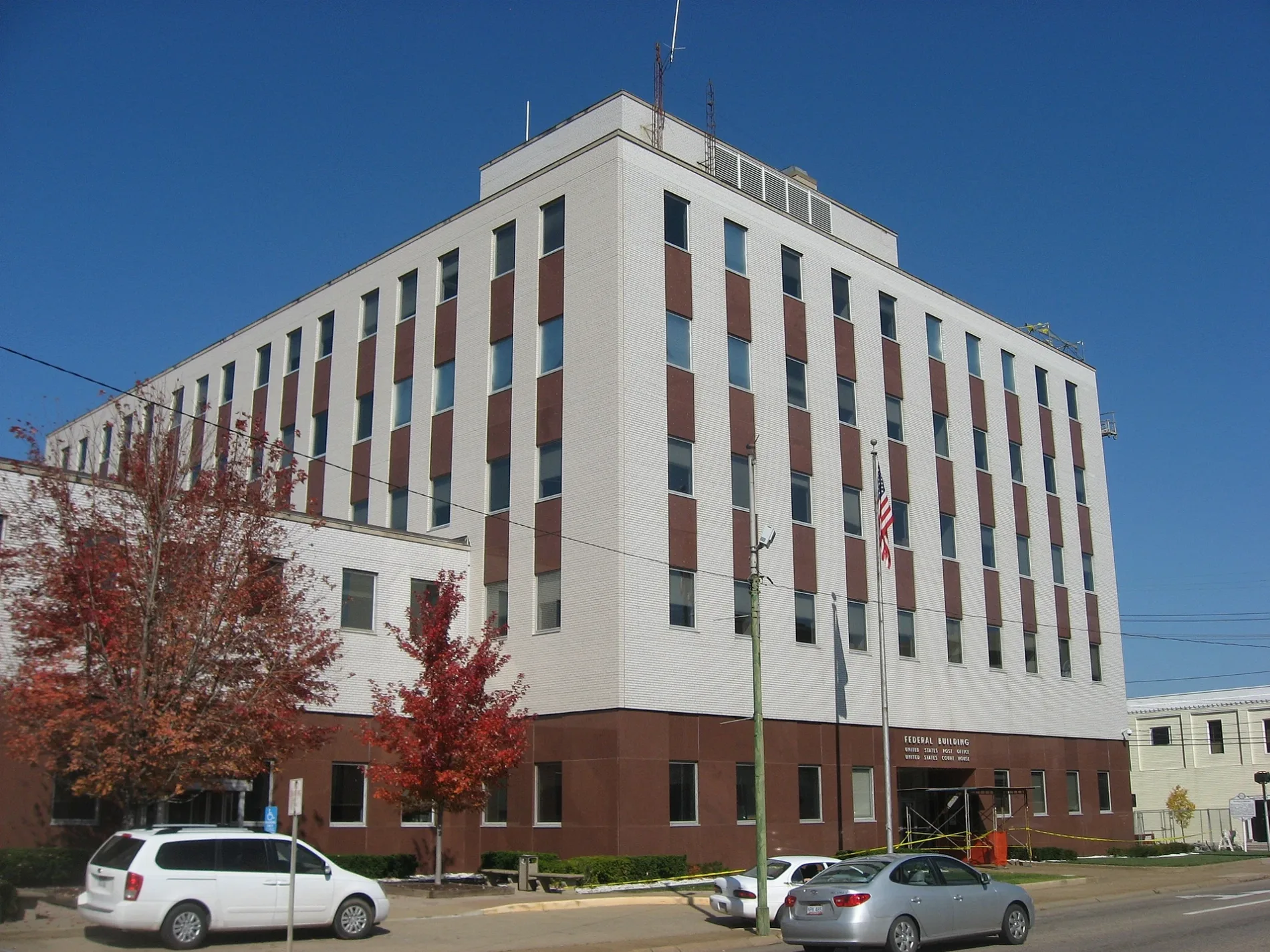
Federal Building0.3 mi
Fast food restaurants nearby
Captain D's0.2 mi
Jimmy John's0.3 mi
Hospitals nearby
WV Medicine0.1 mi
WVU Health Building B0.2 mi
Leather goods stores nearby
Haddad's Leather0.2 mi
Museums nearby
Oil & Gas Museum0.3 mi
Parking lots nearby
Parkersburg Transit Center0.2 mi
Towne Square Garage0.3 mi
Places of worship nearby
Logan Memorial United Methodist0.2 mi
Downtown Bethel House of God0.2 mi
Saint Francis Xavier Catholic Church0.2 mi
Railways nearby
Sixth Street Railroad Bridge0.2 mi
Restaurants nearby
Jimmy Avacados0.3 mi
Streams nearby
Pond Run0.3 mi
Theaters nearby
Smoot Theatre0.2 mi
Public transit map Parkersburg Legend
| Railway | |
| Bus | |
| Streetcar |
Bicycle map Parkersburg Legend
| Bike path | |
| Bike lane on roadway | |
| Cycling allowed on bus lane | |
| Bicycle street | |
| Open to cyclists | |
| Open to cyclists, good path | |
| Cycling prohibited | |
| Cobblestone |
| Long-distance bike route | (depending on scale) | |
| Long-distance bike route |
Pedestrian map Parkersburg Legend
| Path |
| Long-distance hiking trail | (depending on scale) | |
| Long-distance hiking trail | ||
| Pedestrians prohibited |