
Glacial Drumlin State Trail in Town of Aztalan, Wisconsin
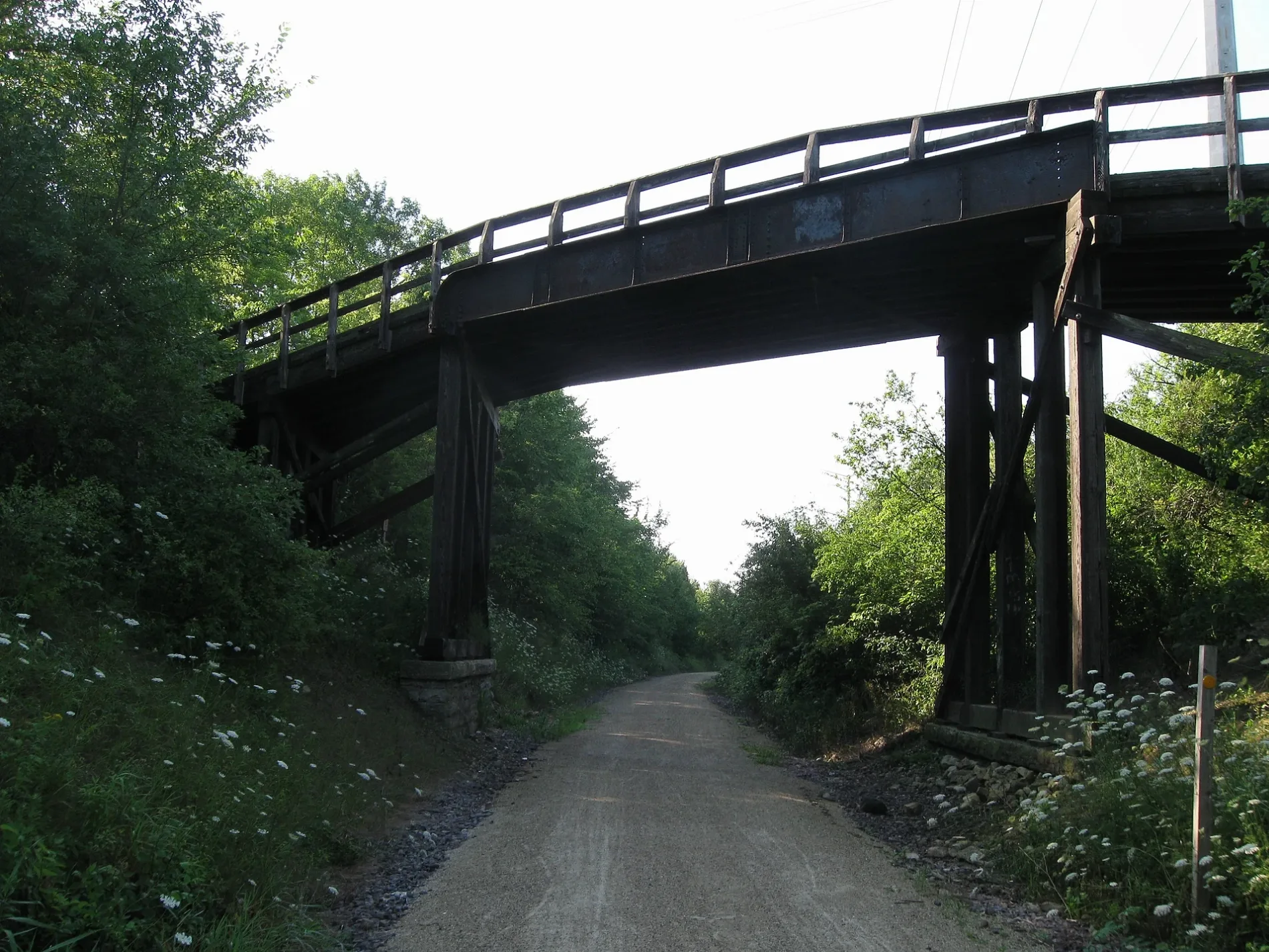
Glacial Drumlin State Trail in Town of Aztalan is an abandoned railway. It runs in a southeast-northwest direction and crosses Harvey Road, Mansfield Road, County Road Q, Popp Road, County Road N and Schreiber Road and ends at Tower Road, while the other end is a cul-de-sac. Glacial Drumlin State Trail also exists in Sullivan, Town of Lake Mills, Town of Sullivan, Town of Jefferson and Town of Farmington. Ⓦ.
- Bicycle
- designated
- Road Type
- bike path
- Website
- https://www.glacialdrumlin.com
- Wheelchair Access
- limited
- Route
- southeast-northwest
Image
Museums
- Aztalan Museum (Web) – approx. 1.2 mi.
Restaurants
Streets nearby
Harvey Road350 ft
Mansfield RoadHyer School
0.6 mi
County Road QAztalan Museum
0.6 mi
Rosewood Avenue0.7 mi
Oakbrook Drive0.8 mi
Daylily Court0.8 mi
Ridgeview Drive0.8 mi
Autumn Crest Lane0.8 mi
Valleyridge Drive0.9 mi
Buttercup Way0.9 mi
Honeysuckle Lane0.9 mi
Ridgeview Lane0.9 mi
Stonefield Drive1.0 mi
Wildflower Way1.0 mi
Crestview Lane1.0 mi
South Oakbrook Drive1.0 mi
Stonehedge Lane1.0 mi
Brookstone Drive1.0 mi
American Way1.1 mi
Brookstone Square1.1 mi
Tamarack Drive1.1 mi
County Road V1.1 mi
County Road B1.2 mi
Industrial Drive1.2 mi
Oestreich Lane1.2 mi
Harold Street1.3 mi
Masche Court1.3 mi
Enterprise Drive1.3 mi
Wollin Road1.3 mi
Lee Street1.4 mi
East Mills Drive1.4 mi
Bradley Court1.4 mi
State Highway 891.4 mi
Pinnacle Drive1.4 mi
Ann Street1.5 mi
Badger Court1.5 mi
Whispering Pines Circle1.5 mi
Center Street1.5 mi
Country View Court1.5 mi
High Street1.5 mi
Lake Park Place1.6 mi
Badger Drive1.6 mi
Wakeman Circle1.6 mi
Plainview Terrace1.7 mi
Brewster Drive1.7 mi
Gomol Road1.7 mi
Golf courses nearby
Lake Mills Golf Course1.4 mi
Parks nearby
Aztalan State Park0.6 mi
Faville Park1.6 mi
| Located in | Wisconsin |
|---|---|
| Country | United States |
Public transit map Town of Aztalan Legend
| Railway | |
| Bus | |
| Streetcar |
Bicycle map Town of Aztalan Legend
| Bike path | |
| Bike lane on roadway | |
| Cycling allowed on bus lane | |
| Bicycle street | |
| Open to cyclists | |
| Open to cyclists, good path | |
| Cycling prohibited | |
| Cobblestone |
| Long-distance bike route | (depending on scale) | |
| Long-distance bike route |
Pedestrian map Town of Aztalan Legend
| Path |
| Long-distance hiking trail | (depending on scale) | |
| Long-distance hiking trail | ||
| Pedestrians prohibited |