
West Grantosa Drive in Lindsey Park, Milwaukee, Wisconsin
West Grantosa Drive in Lindsey Park in Milwaukee is a local road. The street has a sidewalk as well as bike paths (bike lane). The road consists of two separate carriageways. It runs in a Northeast direction and crosses North 92nd Street, West Butler Place, North 87th Street, West Courtland Avenue, North 86th Street, North 85th Court, West Hampton Avenue, West Appleton Avenue, North 85th Street, North 84th Street, North 82nd Street and North Evans Street and continues as North 68th Street. It connects Long View, Lindsey Park, Silver Spring and Hampton Heights. This street is part of the Bicycle route "Milwaukee Bicycle Route". West Grantosa Drive also exists in Valhalla and Vogel Park.
- Road Type
- local road
- Speed Limit
- 30 mph
- Route
- northeast-southwest
Image
Clinics
Social facilities
Bus stops
Doctor's offices
Pharmacies
Dentist offices
Streets nearby
North 92nd Street92nd Street & Grantosa
400 ft
West Palmetto Court500 ft
West Herbert Court0.1 mi
West Glendale Avenue0.1 mi
West Butler Place0.1 mi
North 91st Street0.1 mi
North 89th Street0.2 mi
West Congress StreetCongress & 92nd Street, Congress & 87th Street, Congress & 84th Street, Congress & 91st Street
0.2 mi
West Herbert Avenue0.2 mi
West Lawrence Avenue0.2 mi
North 90th Street0.2 mi
West Palmetto Avenue0.2 mi
West Arden Place0.2 mi
West Courtland Avenue0.3 mi
North 94th Street0.3 mi
Apartment buildings nearby
Greek Orthodox Manor0.2 mi
Buildings nearby
Administration0.1 mi
Welcome Center0.1 mi
Adult Day Care and Health Services0.1 mi
Lippold Faith and Education Center0.2 mi
Community centers nearby
James W. Pihos Cultural Center0.2 mi
Northwest Masonic Center0.3 mi
Golf courses nearby
Madison Park Golf Course0.2 mi
Places of worship nearby
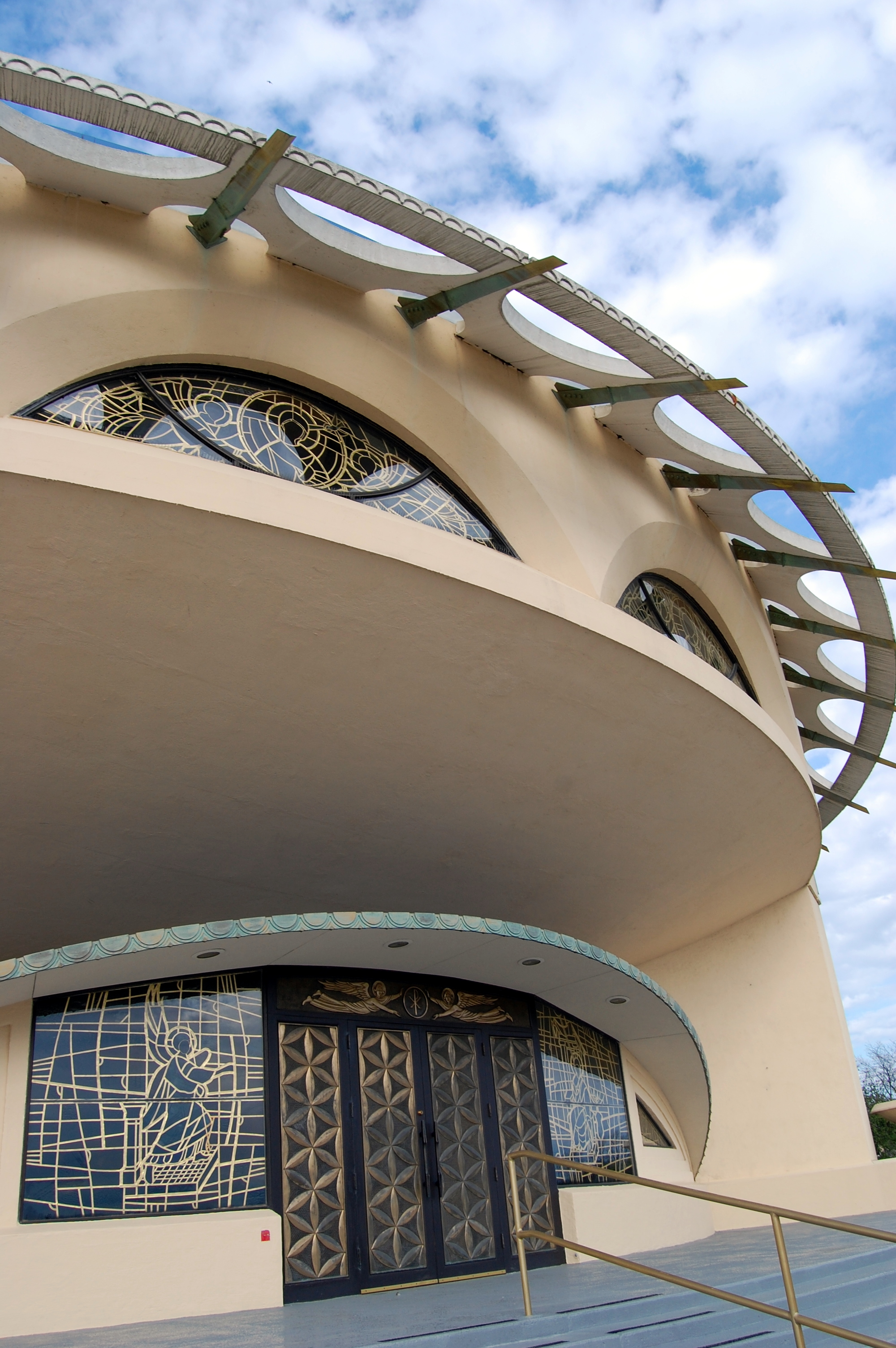
Annunciation Greek Orthodox Church0.1 mi
Northwest Baptist Church0.2 mi
Residential areas nearby
Terrace Apartments0.2 mi
Grantosa View Apartments0.3 mi
Residential buildings nearby
M0.1 mi
A0.2 mi
B0.2 mi
L0.2 mi
J0.2 mi
Residences0.2 mi
C0.2 mi
I0.2 mi
K0.2 mi
H0.2 mi
D0.2 mi
N0.2 mi
O0.2 mi
U0.2 mi
T0.2 mi
E0.3 mi
P0.3 mi
G0.3 mi
F0.3 mi
S0.3 mi
Q0.3 mi
R0.3 mi
Public transit map Lindsey Park Legend
| Railway | |
| Bus | |
| Streetcar |
Bicycle map Lindsey Park Legend
| Bike path | |
| Bike lane on roadway | |
| Cycling allowed on bus lane | |
| Bicycle street | |
| Open to cyclists | |
| Open to cyclists, good path | |
| Cycling prohibited | |
| Cobblestone |
| Long-distance bike route | (depending on scale) | |
| Long-distance bike route |
Pedestrian map Lindsey Park Legend
| Path |
| Long-distance hiking trail | (depending on scale) | |
| Long-distance hiking trail | ||
| Pedestrians prohibited |