
Seymour, Wisconsin
Seymour is located in Outagamie County. About 3,546 people live here (as of 2020). Between 2010 and 2020, the population grew from 3,451 to 3,546. The region is at 239 meters above sea level. The area covers about 7.0 square kilometers. There are about 129 streets in Seymour. The region was founded in 1868. The ZIP codes are 54165. The dialing code is 920. Seymour is city in Outagamie County, Wisconsin, United States. Among other things, Seymour has supermarkets, schools and banks. More information at www.seymour.govoffice.com.
Seymour – Facts
| Population | 3546 |
|---|---|
| Area | 7.0 km² |
| Year built | 1868 |
| Elevation | 239 m |
| Located in | Outagamie County |
| Postal code | 54165 |
| Country | United States |
| Official name | Seymour |
| Website | http://www.seymour.govoffice.com/ |
Data source: Wikidata (CC0)
Photos from Seymour
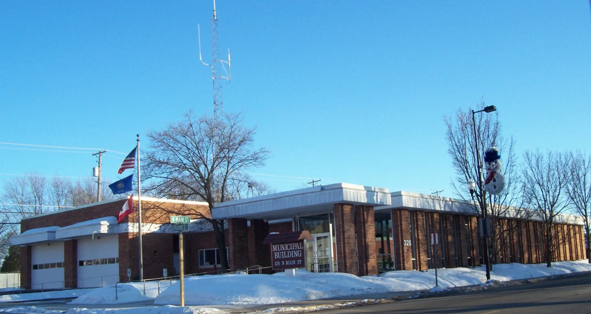
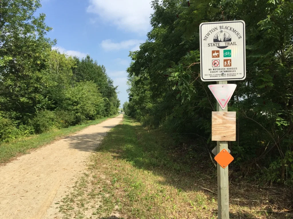
Streets in Seymour, Wisconsin
Streets
Pleasant Way
Muehl Street
Fulton Street
Keune Street
Elm Lane
High Road
Oakforest Lane
Woodland Plaza
Seymour Veterinary Hospital LLC, Family Dollar
South Mill Street
Brookwood Drive
Clover Terrace
South Mainline Drive
Foote Street
Della Street
Lake Road
Hickory Street
Short Street
Lincoln Street
Meadowview Lane
West Factory Street
Seymour Street
Grant Street
Sally Street
Maple Street
Depot Street
West Walnut Street
Schmidt Avenue
Elizabeth Street
Hillcrest Lane
Brookwood Court
Muenster Lane
North Park Lane
Robert Court
West Pearl Street
Thunder Way
Alley Street
Sunny Vista Court
Crestview Drive
Maple Vista Court
South Main StreetSaint John the Baptist Grade School
Ithica Avenue
State Highway 54McDonald's, Nicolet National Bank
Prairie Street
Trailside Terrace
Cherry Street
Kings Way
Remington Drive
Droeger Street
Municipal Drive
North Main Street
Morrow Street
Woodside Drive
Park Lane
Green Street
Leisgang Court
East Bronson Road
Sunrise Acres Court
Nagel Street
North Mill Street
Stoneridge Lane
Doersch Trail
East Factory Street
Winchester Drive
Browning Drive
East Walnut Street
Woodside Court
Commercial Street
Breezeway Lane
Rising Star Lane
West Wisconsin StreetDon's Quality Market
Babbitt Street
Greenfield Court
East Hickory Street
Abe Court
Mainline DriveKwik Trip
Circle DriveSeymour Community High School
Ivory Street
Tower Drive
Robbins Street
East Wisconsin StreetSeymour
Orchard Drive
East Pearl Street
East High Street
Eagle Street
Northwood Drive
Washington Street
Lee Street
Enterprise Drive
Weidemann Drive
Pope Street
Behrendt Park Drive
Newton Blackmour State Trail
Cemetery Road
Henry Street
West Hickory StreetStreams
 Public transit map Seymour Legend
| Railway | |
| Bus | |
| Streetcar |
 Bicycle map Seymour Legend
| Bike path | |
| Bike lane on roadway | |
| Cycling allowed on bus lane | |
| Bicycle street | |
| Open to cyclists | |
| Open to cyclists, good path | |
| Cycling prohibited | |
| Cobblestone |
| Long-distance bike route | (depending on scale) | |
| Long-distance bike route |
 Pedestrian map Seymour Legend
| Path |
| Long-distance hiking trail | (depending on scale) | |
| Long-distance hiking trail | ||
| Pedestrians prohibited |