
Town of Oneida, Wisconsin
Town of Oneida is located in Outagamie County. About 4,579 people live here (as of 2020). Between 2010 and 2020, the population declined from 4,678 to 4,579. There are about 189 streets in Town of Oneida. The ZIP codes are 54155. The dialing code is 920. Town of Oneida is human settlement in United States of America. Among other things, Town of Oneida has schools.
Town of Oneida – Facts
| Population | 4579 |
|---|---|
| Located in | Outagamie County |
| Postal code | 54155 |
| Country | United States |
| Official name | Oneida |
Data source: Wikidata (CC0)
Photos from Town of Oneida
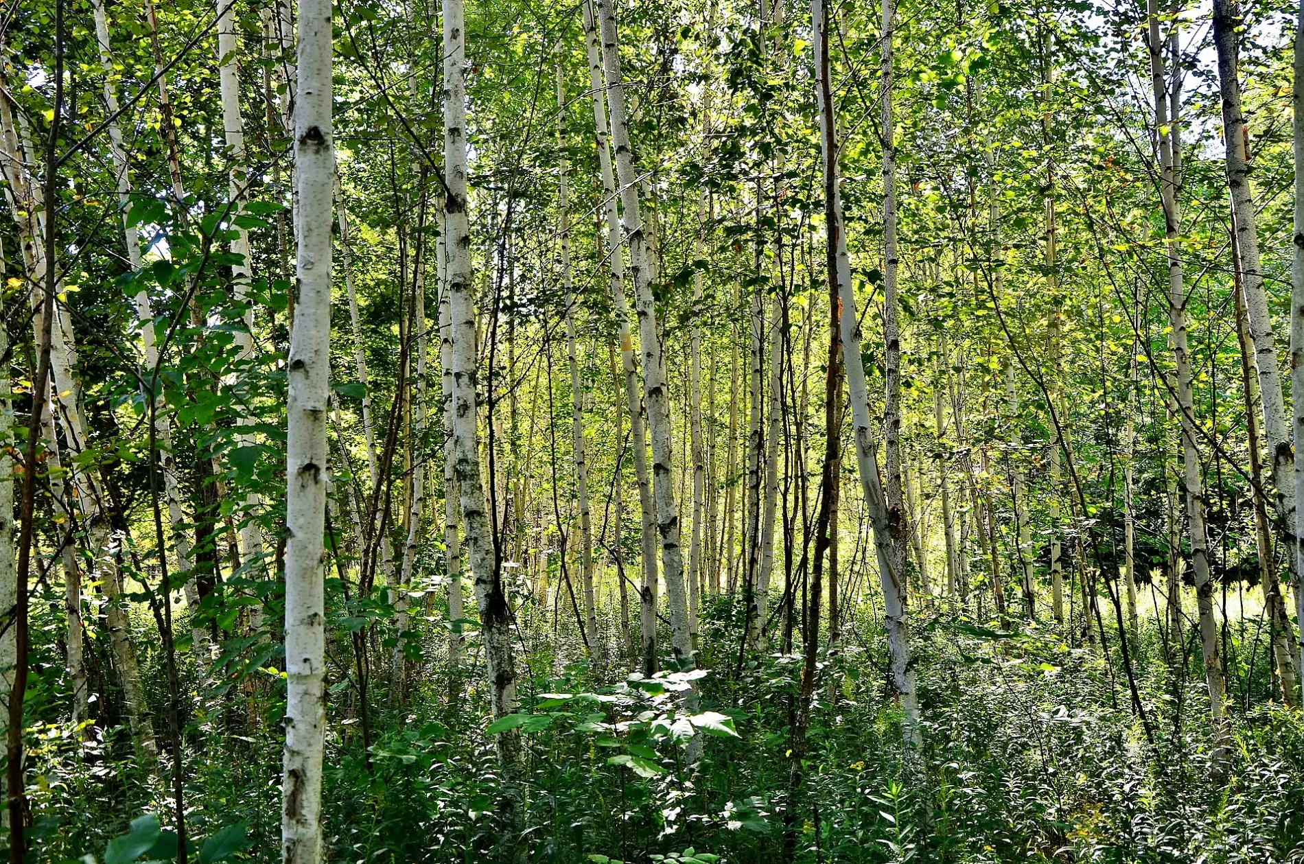
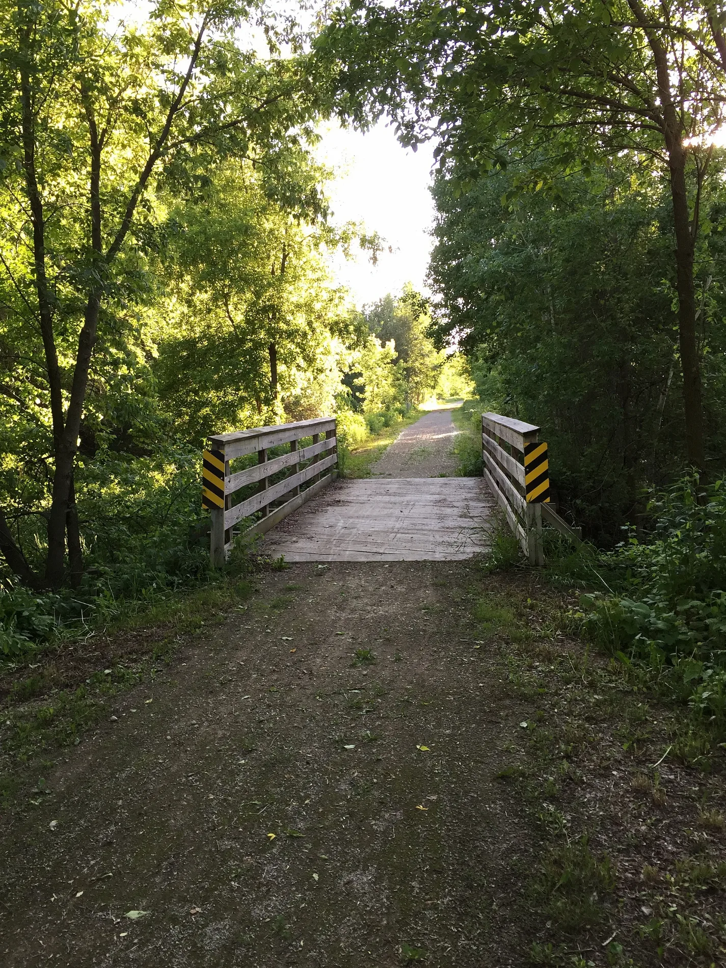
Streets in Town of Oneida, Wisconsin
Streets
County Road E
Immaculate Conception School, Methodist Church Area / kana‧táku, All Shook Up Tavern
Water Circle PlaceOneida Farmers Market
State Highway 54Mobil
County Road EEOneida One Stop
Oneida Drive
Vans Road
Van Boxtel Road
Crooked Creek Court
Pearl Street
Twilight Trail
Iroquois Drive
Laurmar Lane
Jordan Court
Cooper Road
Sand Hill Court
Smith Road
Rueden Lane
Manders Court
Vande Bruggen Lane
Tip Road
Ranch Lane
West Service Road
Crook Road
Six Nations Drive
Albers Road
Hansen Road
Shawnee Road
State Highway 55
Cornelius Circle
King Lane
Hattie Lane
Rymer Lane
Raine Road
Fish Creek RoadChicago Corners / kʌtsyohalé·ke
Old 29 Drive
Park Drive
County Line Road
Path of the Wolf
Duck Creek Trail
Meadowlark Lane
Bain Road
Deer Path Drive
Ethyl Lane
Skylark Drive
Silver Summit Drive
Van Schyndel Drive
Town Road
Krause Court
County Road J
Water Circle Drive
North County Line Road
Mullen Drive
Daniel Court
Janz Road
Rice Road
Bear Court
Van Court
Alpine Drive
Evergreen Drive
Johnson Road
Freedom Road
County Road VV
Path of the Bear
Lambie Road
Jo Ann's Way
Seminary RoadOneida / ukwehuwé·ne
Honey Creek Court
Takwatekha Court
Sarah Street
Government RoadCemeteries
Commercial areas
Nature reserves
Post offices
Waters
Other
 Public transit map Town of Oneida Legend
| Railway | |
| Bus | |
| Streetcar |
 Bicycle map Town of Oneida Legend
| Bike path | |
| Bike lane on roadway | |
| Cycling allowed on bus lane | |
| Bicycle street | |
| Open to cyclists | |
| Open to cyclists, good path | |
| Cycling prohibited | |
| Cobblestone |
| Long-distance bike route | (depending on scale) | |
| Long-distance bike route |
 Pedestrian map Town of Oneida Legend
| Path |
| Long-distance hiking trail | (depending on scale) | |
| Long-distance hiking trail | ||
| Pedestrians prohibited |