
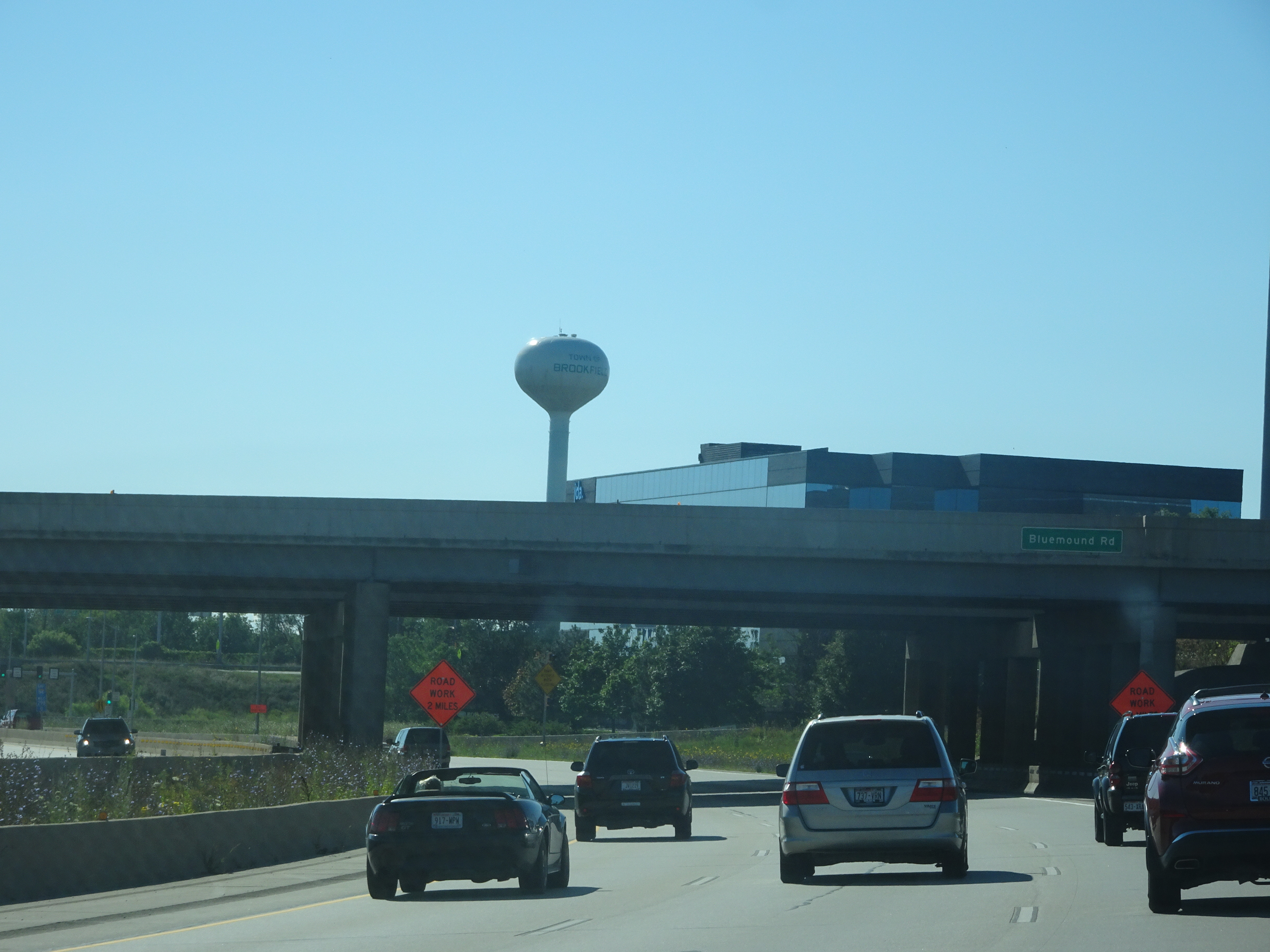
West Bluemound Road in Waukesha, Wisconsin
West Bluemound Road in Waukesha is a two-lane secondary road (Road number CTH JJ). It runs in an east-west direction and crosses Springdale Road, Saratoga Road, Plaza Court, North Kossow Road and Parklawn Drive. West Bluemound Road is also known as County Highway JJ. This street is part of the highway "JJ". West Bluemound Road also exists in Elm Grove and Brookfield.
- Alternate Name
- County Highway JJ
- Road Type
- secondary road
- Lanes
- 2
- Speed Limit
- 40 mph
- Route
- east-west
Image
Cafes
Computer stores
Dry cleaners
Veterinary clinics
Auto parts stores
Fast food restaurants
Beauty salons
Schools
Bus stops
- bus lines 2
Hair salons
Dentist offices
Restaurants
Department stores
Pastry shops
Motorcycle shops
Supermarkets
Streets nearby
Plaza Court0.2 mi
Larry Court0.2 mi
Abbott DriveAspen Dental, Sport Clips, Cousins Subs
0.3 mi
North Kossow Road0.3 mi
Watertown Court0.3 mi
Hunters Run0.3 mi
East Moreland Court0.3 mi
East Moreland BoulevardAlex Colque M.D. Plastic Surgery, Skiin, Westown Vet Clinic, Starbucks, Toppers Pizza, Klinke Cleaners, Supercuts, Subway
0.3 mi
Brook Park Drive0.3 mi
Swenson Drive0.4 mi
Watertown Road0.4 mi
Brook Park Court0.4 mi
East-West Freeway0.4 mi
Bahcall Court0.4 mi
Parklawn Drive0.4 mi
Sundance Drive0.4 mi
West Bluemound RoadGoerke's Corners, Fava Tea Company, HassleLess Mattress, F&F Tire World, Tuesday Morning, Chico's, Talbots, Skin Deep Spa, Mike Crivello's Camera and Imaging Center, Tony & Frinds Salon & Spa, American Taekwondo Center, Ultimos Salon & Spa, Casablanca, Potbelly, CIBM Bank
0.4 mi
Heatherview Drive0.4 mi
Hunters Court0.5 mi
Doral Road0.5 mi
Greenridge Terrace0.5 mi
Leisure nearby
Outdoor Seating0.3 mi
Amusement parks nearby
Urban Air Trampoline and Adventure Park0.2 mi
Banks nearby
UW Credit Union0.3 mi
Buildings nearby
Freedom Wealth Alliance0.4 mi
Cannon & Dunphy0.4 mi
First Weber Place0.4 mi
Clothing stores nearby
Duluth Trading Co.0.3 mi
Commercial buildings nearby
Outdoor Living Unlimited0.1 mi
Department stores nearby
Target0.2 mi
Fast food restaurants nearby
Taco Bell0.3 mi
McDonald's0.3 mi
Arby's0.4 mi
Shake Shack0.4 mi
Hardware stores nearby
The Home Depot0.2 mi
Menards0.3 mi
Blain's Farm & Fleet0.4 mi
Hotels nearby
Home2 Suites0.1 mi
Tru0.1 mi
Comfort Inn0.2 mi
Extended Stay America0.2 mi
Hampton Inn Milwaukee/Brookfield0.4 mi
Industrial areas nearby
KHS Inc.0.3 mi
Mini golf courses nearby
Prairieville Park400 ft
Pet stores nearby
Pet World0.2 mi
Pharmacies nearby
Walgreens0.4 mi
Police stations nearby
Southeast Region Waukesha Post0.3 mi
Restaurants nearby
Texas Roadhouse0.1 mi
Oscar's Frozen Custard0.3 mi
Albanese's Roadhouse0.3 mi
Public transit map Waukesha Legend
| Railway | |
| Bus | |
| Streetcar |
Bicycle map Waukesha Legend
| Bike path | |
| Bike lane on roadway | |
| Cycling allowed on bus lane | |
| Bicycle street | |
| Open to cyclists | |
| Open to cyclists, good path | |
| Cycling prohibited | |
| Cobblestone |
| Long-distance bike route | (depending on scale) | |
| Long-distance bike route |
Pedestrian map Waukesha Legend
| Path |
| Long-distance hiking trail | (depending on scale) | |
| Long-distance hiking trail | ||
| Pedestrians prohibited |