
West 15th Street in Cheyenne, Wyoming
West 15th Street in Cheyenne is a residential street. It runs in a northeast-southwest direction and crosses Bent Avenue, O Neil Avenue, Thomes Avenue, Pioneer Avenue, Carey Avenue and Capitol Avenue and ends at East 15th Street, while the other end is a cul-de-sac. Nearby there is a cafe. The nearest bus stop is Transfer Station (E, NE, NW, S) (:00) (about 400 m away). West 15th Street also exists in Natrona County and Sheridan County.
- Road Type
- local road
- Route
- northeast-southwest
Image
Cafes
Streets nearby
Carey AvenueLocomotive, Old West Museum, The Cheyenne Cup, The Spirit of Wyoming
200 ft
Pioneer Avenueflagpost structure, Library East Side (NW)
350 ft
Thomes Avenuechildren reading, Library West Side, Burke High Rise
0.1 mi
O Neil AvenueTransfer Station (E, NE, NW, S) (:00)
0.2 mi
Bent Avenue0.2 mi
Reed Avenue0.3 mi
Banks nearby
First Interstate Bank0.3 mi
Riverstone Bank0.3 mi
Bars nearby
Crown Bar550 ft
Buildings nearby
warehouse for tires250 ft
Carriage Barn250 ft
Federal Aviation Administration450 ft
Dinneen Building550 ft
Cheyenne Transitional Center0.1 mi
First American Title Insurance Company0.3 mi
Wyoming State administration0.3 mi
Clinics nearby
Healthworks0.2 mi
Commercial buildings nearby
Craft Beer supply store150 ft
Wyoming Business Council200 ft
Wyoming Home450 ft
Hynds Building500 ft
Asher Building0.2 mi
Sidles Auto Parts0.2 mi
History Boyd Building0.2 mi
CWD Distirbuting0.2 mi
Convenience stores nearby
Big D0.4 mi
Hotels nearby
Pioneer Hotel0.1 mi
Liquor stores nearby
Provisions Wine & Spirits0.2 mi
Museums nearby
Nelson Museum of the West0.2 mi
Parking lots nearby
City Center Parking0.1 mi
Parks nearby
Gunslinger Town500 ft
Police stations nearby
Cheyenne Public Safety Center0.2 mi
Railways nearby
UP Sidney Subdivision300 ft
Old 8350 ft
Old 90.2 mi
N Eng Lead0.2 mi
Old 110.2 mi
Heritage Fueling0.2 mi
N100.2 mi
N80.2 mi
Turntable Lead0.2 mi
N one W0.3 mi
Crow Creek Lead0.3 mi
N70.3 mi
N10W0.3 mi
S Lead W0.4 mi
Restaurants nearby
The Albany Restaurant, Bar and Liquor Mart300 ft
The Metropolitan Downtown0.1 mi
Theaters nearby
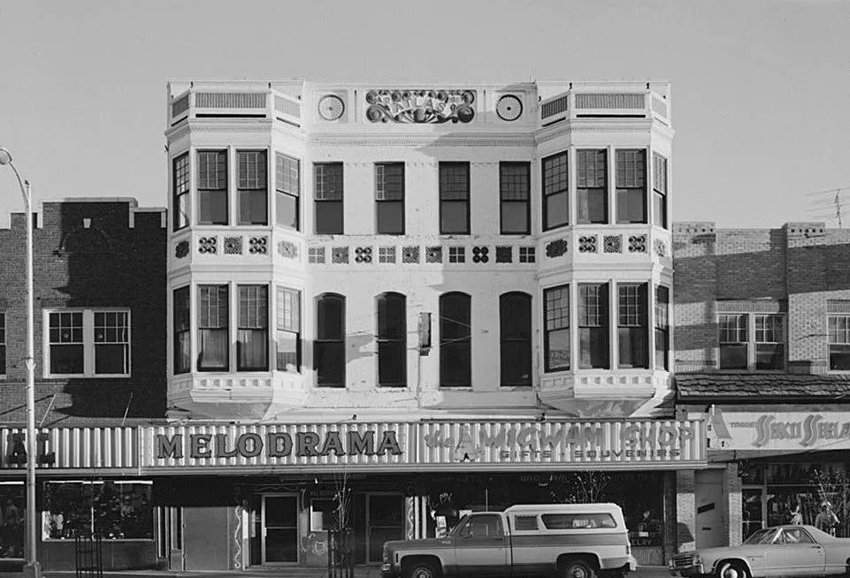
Atlas Theatre350 ft
Public transit map Cheyenne Legend
| Railway | |
| Bus | |
| Streetcar |
Bicycle map Cheyenne Legend
| Bike path | |
| Bike lane on roadway | |
| Cycling allowed on bus lane | |
| Bicycle street | |
| Open to cyclists | |
| Open to cyclists, good path | |
| Cycling prohibited | |
| Cobblestone |
| Long-distance bike route | (depending on scale) | |
| Long-distance bike route |
Pedestrian map Cheyenne Legend
| Path |
| Long-distance hiking trail | (depending on scale) | |
| Long-distance hiking trail | ||
| Pedestrians prohibited |