
West 21st Street in Cheyenne, Wyoming
West 21st Street in Cheyenne is an asphalted residential street. It runs in a northeast-southwest direction starting from Pioneer Avenue and crosses Carey Avenue, Capitol Avenue and Central Avenue and ends at East 21st Street. West 21st Street also exists in Natrona County.
- Road Type
- residential street
- Route
- northeast-southwest
Image
Restaurants
Post offices
Courthouses
Pubs
Bus stops
Artworks
Bars
Hospitals
Streets nearby
West 20th Street20th & Capitol (E)
400 ft
East 21st Street450 ft
East 20th StreetE 20th St & Rayor Ave (NE), E 20th St & Alexander Ave, E 20th St & Pebrican Ave (NE), Cheyenne Eye Surgery, E 20th St & Warren Ave (NE)
0.1 mi
West 19th Street19th & Carey, Black Tooth Brewing Company
0.1 mi
East 19th Street19th St. & Central, E 19th St & Cheyenne Pl (NE), 19th St. & Evans (NE), 19th St. & Bradley (NE)
0.2 mi
West 18th Street0.2 mi
Capitol AvenueHokkaido Ramen, USPS Capitol Station, Downtown Vinyl, Paramount Café
0.2 mi
Warren AvenueWarren Ave & E 18th St (E), Warren & E 18th, Warren Ave & E 25th St (NW)
0.2 mi
East 18th StreetParis West, CRMC East, Holy Trinity Manor (NE), E 18th St & Goshen Ave (NE), Danielmark Brewing Co., Behavioral Health
0.2 mi
West 17th StreetCowgirls of the West Museum, Cheyenne Children's Museum, Judge Joseph M. Carey City Center, Advance Cash Services, Bejo Sushi/Asian
0.3 mi
East 17th StreetTwo Doors Down, Coyote & Hares Run, 17th St & Warren, Wy Family Clinic
0.3 mi
West LincolnwayTurner Draperies & Interiors, Mary's Mountain Cookies, Comea Shelter, Lincolnway & Fleishchili Pkwy
0.3 mi
Banks nearby
ANB Bank0.1 mi
U.S. Bank0.1 mi
Cheyenne State Bank0.2 mi
Bank of the West0.2 mi
First Interstate Bank0.2 mi
Wells Fargo0.2 mi
Bars nearby
Crown Bar0.3 mi
Buildings nearby
Joseph C. O`Mahoney Federal Center200 ft
Masonic Building0.2 mi
Cheyenne Transitional Center0.3 mi
Cafes nearby
Starbucks500 ft
Commercial buildings nearby
Quest Communications0.1 mi
History Boyd Building0.2 mi
Sidles Auto Parts0.3 mi
Rocky Mountain Telephone Co0.3 mi
Paramount Building0.3 mi
Magestic Building0.3 mi
Hynds Building0.3 mi
Wyoming Home0.3 mi
Courthouses nearby
Laramie County Courthouse0.1 mi
Doctor's offices nearby
Stiches Urgent Care0.1 mi
Hotels nearby
The Downtowner Studios0.3 mi
Pioneer Hotel0.3 mi
The Historic Plains Hotel0.3 mi
Houses nearby
Ferdinand Lafrentz House0.1 mi
Liquor stores nearby
Provisions Wine & Spirits0.2 mi
Museums nearby
Nelson Museum of the West0.3 mi
Office buildings nearby
Diocese of Cheyenne Chancery Office300 ft
Central Building0.1 mi
Parking lots nearby
City Center Parking0.3 mi
Places of worship nearby
Cathedral of Saint Mary300 ft
Saint Marks0.1 mi
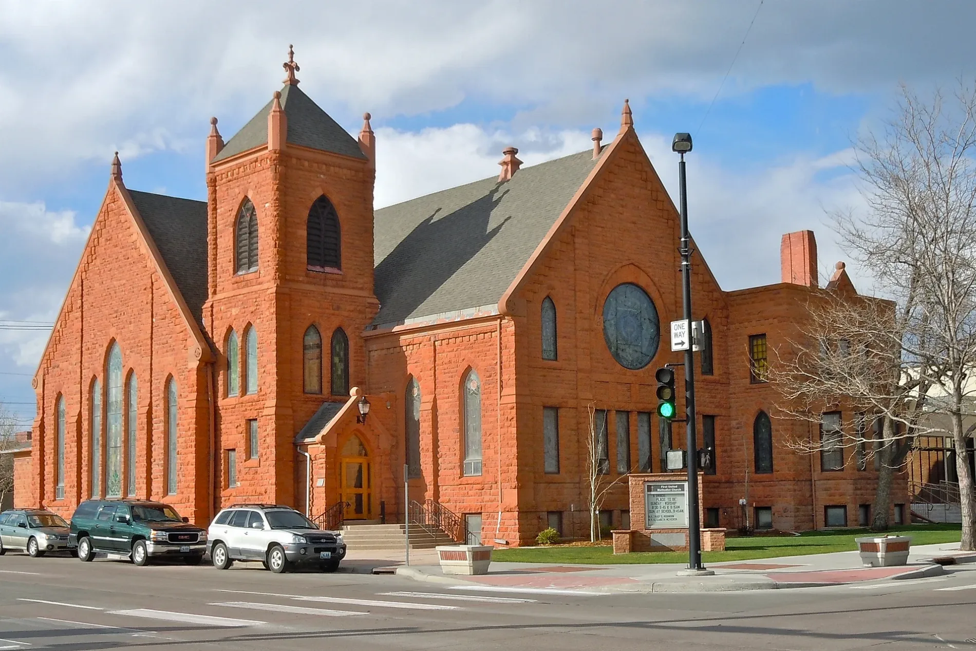
First United Methodist Church0.2 mi
Police stations nearby
Cheyenne Public Safety Center0.3 mi
Restaurants nearby
The Metropolitan Downtown0.3 mi
School buildings nearby
Emerson Building350 ft
Town halls nearby
Historic County Courthouse0.1 mi
Public transit map Cheyenne Legend
| Railway | |
| Bus | |
| Streetcar |
Bicycle map Cheyenne Legend
| Bike path | |
| Bike lane on roadway | |
| Cycling allowed on bus lane | |
| Bicycle street | |
| Open to cyclists | |
| Open to cyclists, good path | |
| Cycling prohibited | |
| Cobblestone |
| Long-distance bike route | (depending on scale) | |
| Long-distance bike route |
Pedestrian map Cheyenne Legend
| Path |
| Long-distance hiking trail | (depending on scale) | |
| Long-distance hiking trail | ||
| Pedestrians prohibited |