
Colonial Lane in Alpine Northeast, Wyoming
Colonial Lane in Alpine Northeast is a residential street and crosses Forest Road.
- Road Type
- residential street
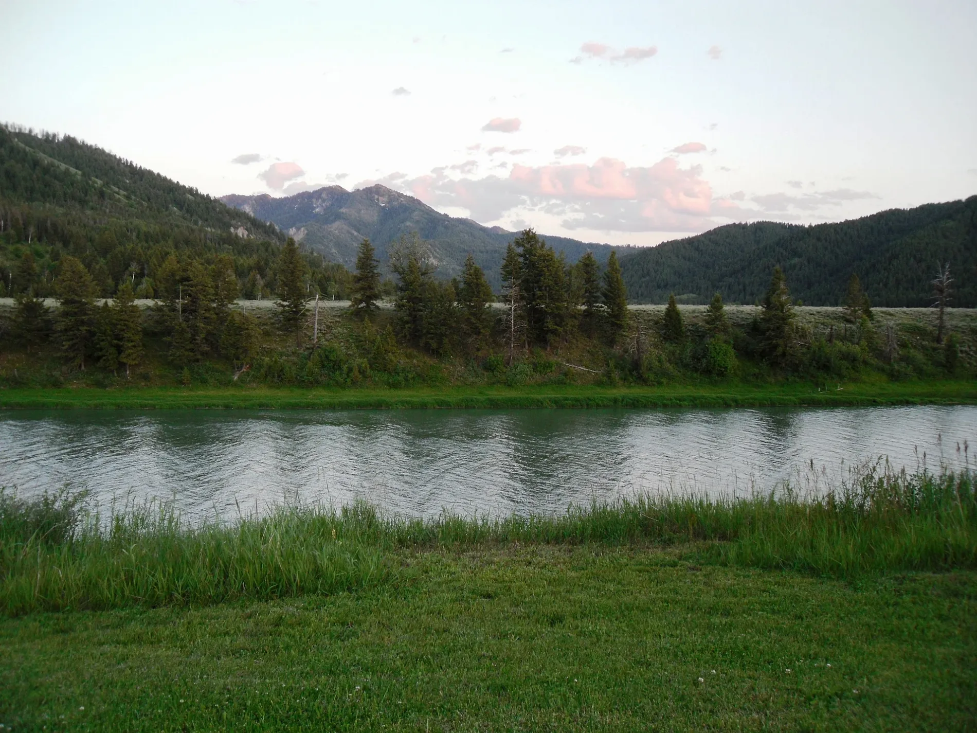
Image
Convenience stores
Streets nearby
Forest Road0.1 mi
Pine Street0.2 mi
Flying Saddle Circle0.2 mi
Blue Wing Lane0.3 mi
Spruce Street0.3 mi
Emerger Avenue0.4 mi
Red Quill Lane0.4 mi
Boardwalk DriveChevron
0.5 mi
Lucky Circle0.6 mi
Iron Horse DriveSubway, Broulim's, Broulim's Pharmacy, Conoco
0.6 mi
Bugling Elk Drive0.6 mi
Aspen Ridge Trail0.6 mi
Sagebrush Lane0.6 mi
US Highway 890.7 mi
Sunbeam Drive0.7 mi
Wintergreen Drive0.7 mi
US Highway 260.7 mi
Meadow Ridge Entrance0.7 mi
Ruth Road0.7 mi
Old Alpine Co. Rd 1000.7 mi
Meadow Ridge Road0.7 mi
Laurel Trail0.7 mi
Angie Lane0.7 mi
Lance Leaf Road0.7 mi
Penstemon Road0.8 mi
Wood Rose Road0.8 mi
Honeysuckle Road0.8 mi
Foxtail Street0.8 mi
Burning Bush Road0.8 mi
Long Leaf Road0.8 mi
Lupine Circle0.8 mi
Phlox Road0.8 mi
Canyon View Drive0.9 mi
2nd StreetGreys River Tavern
0.9 mi
Wintergrass Drive0.9 mi
Loop Drive0.9 mi
Wooden Spur Drive0.9 mi
Hillcrest Drive0.9 mi
Jordan Canyon Road0.9 mi
Foothill Boulevard0.9 mi
Valley View Boulevard1.0 mi
Windsong Way1.0 mi
Buildings nearby
Hawthorn Extended Stay by Wyndham Alpine0.7 mi
Campgrounds nearby
Greys River Cove RV Park0.8 mi
Garage areas nearby
Alpine Storage0.9 mi
Hotels nearby
The Nordic Inn200 ft
Motels nearby
Flying Saddle450 ft
Rivers nearby
Greys River0.5 mi
Snake River0.7 mi
Public transit map Alpine Northeast Legend
| Railway | |
| Bus | |
| Streetcar |
Bicycle map Alpine Northeast Legend
| Bike path | |
| Bike lane on roadway | |
| Cycling allowed on bus lane | |
| Bicycle street | |
| Open to cyclists | |
| Open to cyclists, good path | |
| Cycling prohibited | |
| Cobblestone |
| Long-distance bike route | (depending on scale) | |
| Long-distance bike route |
Pedestrian map Alpine Northeast Legend
| Path |
| Long-distance hiking trail | (depending on scale) | |
| Long-distance hiking trail | ||
| Pedestrians prohibited |