
Alpine Market Parking Lot in Alpine, Wyoming
Alpine Market Parking Lot in Alpine is an unclassified road and runs in a northeast-southwest direction starting from Main Street and ends in a cul-de-sac.
- Road Type
- unclassified road
- Route
- northeast-southwest
Image
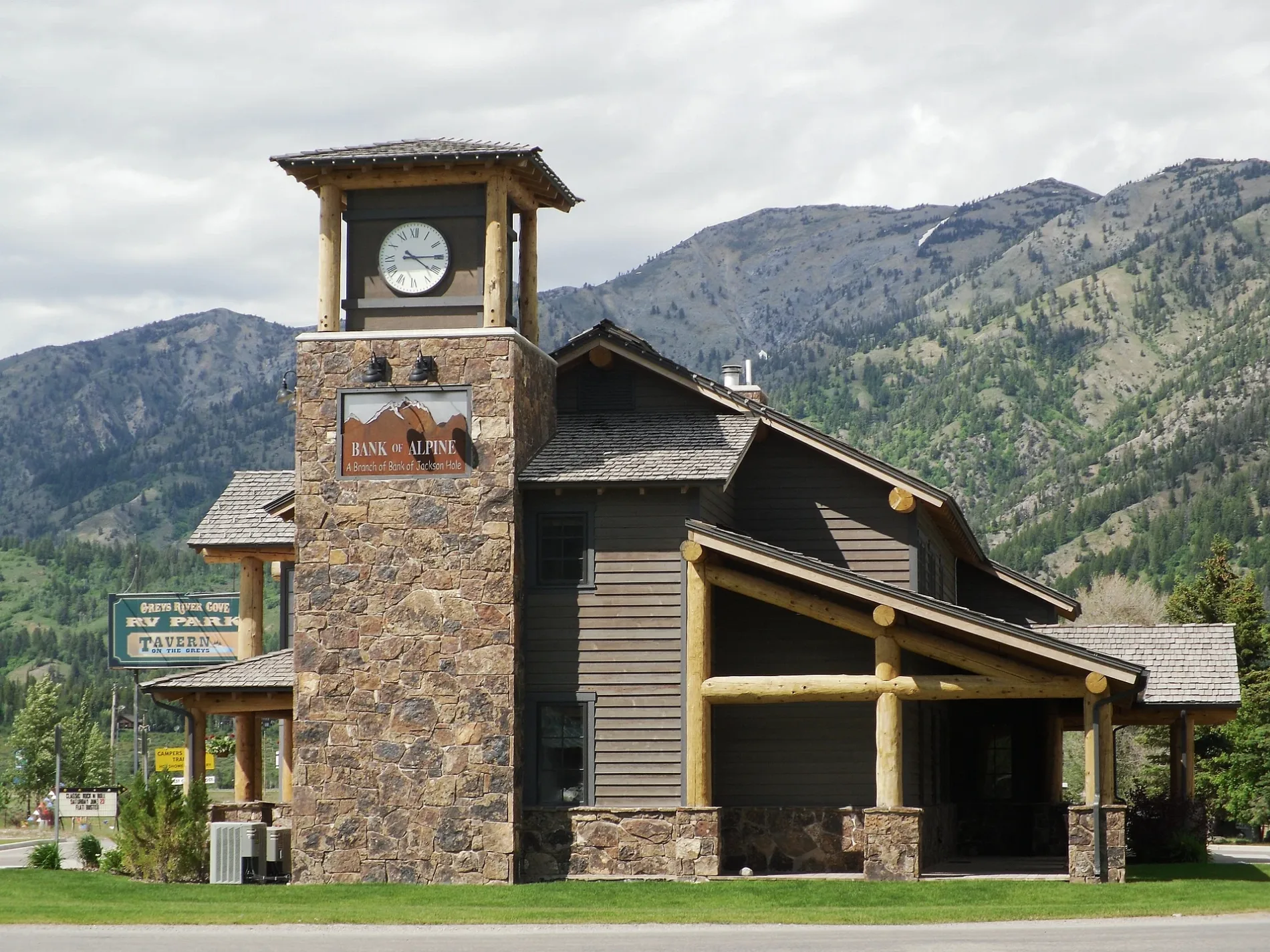
Bars
Post offices
Hardware stores
Convenience stores
Car rentals
Fire stations
Restaurants
Community centers
Hair salons
Outdoor stores
Motels
Banks
Hardware stores
Variety stores
Cafes
Laundries
Furniture stores
Streets nearby
Main StreetYankee Doodle's Cafe, Cheeseburger Factory, Tienda La Mexicana, Alpine Adventure Rentals, Three Rivers Motel, Taco Bus, Rivers Coffee Hours, La Cabaña Del Tequila, Alpine Post Office, Alpine Fire Department, Mountainist, Buffalo Mountain Furniture
150 ft
Alpine Circle400 ft
Center StreetBull Moose Saloon, Bull Moose
0.1 mi
Star LaneJenkins Building Supply
0.1 mi
2nd StreetGreys River Tavern
0.1 mi
Alpine DriveCivic Center, Alpine Ace Hardware, Bull Moose Lodge, Cindy's Barber Shop
0.1 mi
Alpine Cit0.1 mi
Parkway DriveFamily Dollar
0.2 mi
Trail Drive Road0.2 mi
Canyon View Drive0.2 mi
Short Street0.2 mi
Pine Court0.2 mi
Stoor Drive0.2 mi
Morning Star DriveDriftwood Pizzeria
0.3 mi
Grandview Drive0.3 mi
Overlook Circle0.3 mi
River Bench Road0.3 mi
Mountain Drive0.3 mi
Pine Crest Circle0.3 mi
West Mill Circle0.4 mi
Lakeview Drive0.4 mi
Sunset Drive0.4 mi
Lodge Lane0.4 mi
West Loop Road0.4 mi
Elk Run0.4 mi
Sharp Street0.4 mi
Sawmill Road0.4 mi
Sunbeam Drive0.4 mi
Terrace Drive0.5 mi
Wooden Spur Drive0.5 mi
US Highway 890.5 mi
Iron Horse DriveSubway, Broulim's, Broulim's Pharmacy, Conoco
0.5 mi
Aster Loop0.5 mi
Terrace Lane0.5 mi
Meadows DriveCanyon Auto & Diesel
0.6 mi
East Mill Road0.6 mi
Greys River Loop0.6 mi
Bridger0.7 mi
Meadows Court0.7 mi
Forest Circle Drive0.7 mi
10413 Alpine River Loop0.8 mi
Buildings nearby
First Bank of Wyoming150 ft
Campgrounds nearby
Greys River Cove RV Park0.2 mi
Gas stations nearby
Conoco350 ft
Chevron0.1 mi
Hotels nearby
Cobblestone Hotel & Suites0.1 mi
Places of worship nearby
Morning Star Church0.2 mi
Rivers nearby
Greys River0.6 mi
Sports fields nearby
Legion Ball Field0.4 mi
Public transit map Alpine Legend
| Railway | |
| Bus | |
| Streetcar |
Bicycle map Alpine Legend
| Bike path | |
| Bike lane on roadway | |
| Cycling allowed on bus lane | |
| Bicycle street | |
| Open to cyclists | |
| Open to cyclists, good path | |
| Cycling prohibited | |
| Cobblestone |
| Long-distance bike route | (depending on scale) | |
| Long-distance bike route |
Pedestrian map Alpine Legend
| Path |
| Long-distance hiking trail | (depending on scale) | |
| Long-distance hiking trail | ||
| Pedestrians prohibited |