
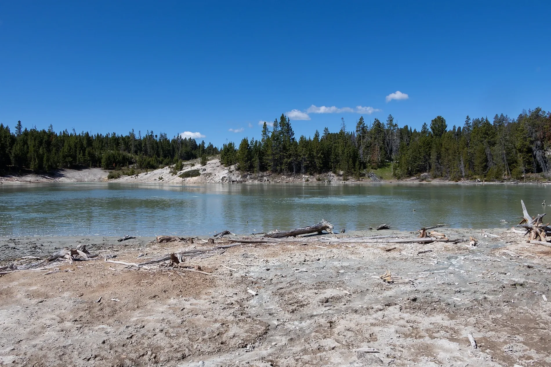
Sour Lake in Park County, Wyoming
Sour Lake in Park County is a hot spring. Sour Lake is also known as MV105.
- Nature
- hot spring
Image
Streets nearby
Mud VolcanoCooking Hillside, Mud Geyser, Grizzly Fumarole, Volcanic Landscape, Mud Volcano, Dragon’s Mouth Spring
0.4 mi
Elephant Back Trail3.8 mi
East Entrance RoadCutthroat
4.3 mi
Grand Loop RoadUndine Falls Viewpoint, Sinclair, Winds of Change, Norris Geyser Basin Overlook, Otter Creek Picnic Area, Gibbon Meadows Picnic Area, Washburn Hotsprings Overlook, Devil's Den, Lehardy rapids, Terrace Grill, Dining Room, Road closed (staff only), Cascade Lake Trail Picnic Area, Lava Creek Picnic Area, Roaring Mountain, Grizzly Lake, Obsidian Cliff Kiosk, Cascade Picnic Area, LeHardy Rapids Picnic Site
4.3 mi
4W14W1 - Wrangler Lake
4.5 mi
Wrangler Lake Trail5.5 mi
Pelican Creek Nature TrailPelican Creek Trailhead
5.5 mi
Howard Eaton Trail: Fishing Bridge-CanyonLeHardys Rapids Overlook, Fishing Bridge Trailhead
5.6 mi
Bridge Bay Campground Road5.7 mi
Bridge Bay Campground-Natural Bridge Trail5.8 mi
Bikini Beach Drive5.8 mi
Buildings nearby
Campground Registration Office5.9 mi
Campgrounds nearby
Fishing Bridge RV Park5.0 mi
Bridge Bay Campground5.8 mi
Clinics nearby
Lake Medical Clinic5.1 mi
Government buildings nearby
Lake Ranger Station5.2 mi
Hotels nearby
Lake Lodge4.9 mi
Lake Yellowstone Hotel5.1 mi
Rivers nearby
Yellowstone River3.7 mi
Streams nearby
Trout Creek2.3 mi
Elk Antler Creek2.5 mi
Thistle Creek2.6 mi
Bluff Creek4.4 mi
Alum Creek4.6 mi
Sour Creek5.1 mi
Bog Creek5.3 mi
Pelican Creek5.5 mi
Supermarkets nearby
Yellowstone General Store Lake Village5.2 mi
Waters nearby
Wrangler Lake4.5 mi
Dewdrop Lake5.3 mi
| Elevation | 2403 m |
|---|---|
| Protected area | Yellowstone National Park |
| Located in | Park County |
| Country | United States |
 Public transit map Park County Legend
| Railway | |
| Bus | |
| Streetcar |
 Bicycle map Park County Legend
| Bike path | |
| Bike lane on roadway | |
| Cycling allowed on bus lane | |
| Bicycle street | |
| Open to cyclists | |
| Open to cyclists, good path | |
| Cycling prohibited | |
| Cobblestone |
| Long-distance bike route | (depending on scale) | |
| Long-distance bike route |
 Pedestrian map Park County Legend
| Path |
| Long-distance hiking trail | (depending on scale) | |
| Long-distance hiking trail | ||
| Pedestrians prohibited |