
Second Avenue in Henty
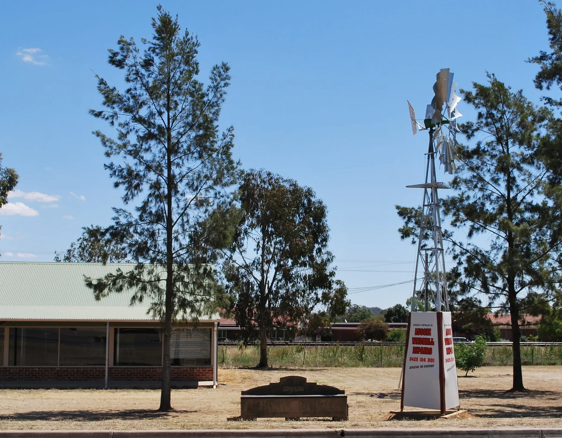
Second Avenue in New South Wales is a asphalted residential street. Second Avenue also exists in Eastwood and Croydon Park.
- Road Type
- residential street
Image
Platforms
Funeral directors
Supermarkets
Collector shops
Second-hand shops
Library
Campsite
Convenience stores
Gas suppliers
Museum
Stations
Post offices
Butcher's
Bakeries
Electrical shops
Public toilet
Fast food restaurants
Petrol station
Craft shops
Places of worship
Off-licences
Hardware shops
Café
Pharmacy
Social facility
Roads nearby
First Avenue200 m
Sladen Street East200 m
First Street250 m
Railway ParadeHenty Rest Area, Fast & Ezy, Headlie Taylor Header Museum
350 m
Third Avenue400 m
Second Street400 m
Fox Street450 m
Graham Street450 m
Sladen StreetHenty, Henty Pharmacy, Dales Hardware, Henty Post Office, Dales IGA plus liquor, Dales IGA plus Liquor, Henty Library, Trav's Henty Butchery, Henty Bakery, The Vintage Coffee Shoppe, Dales Electrical, Patchwork Fabrics, Scrapbooking Gifts, Henty Collectibles, Quality Secondhand Dealer, Henty Funeral Service, Sladen Street Rail Level Crossing, Henty Craft & Book Shop, Platform 1, Henty
500 m
Third Street550 m
Ivor StreetRiverlife Church, Henty
550 m
Olympic HighwayWelcome to Lockhart Shire, Welcome to Yerong Creek
650 m
Allan Street650 m
Lyne Street650 m
Fourth Street650 m
Spence Street700 m
Keightley Street700 m
Keighran Street700 m
Hayes Street750 m
Bartsch AvenueMyopa Retirement Village
750 m
Day Street800 m
Comer Street900 m
Elm Street900 m
Keirath Street900 m
Smart Street950 m
South Street1000 m
Rosler ParadeRosler Parade Rail Level Crossing
1000 m
Banks nearby
Bendigo Bank500 m
Buildings nearby
The Old Servo350 m
Henty Swimming Pool / Tennis Club800 m
Car repair shops nearby
Henty Automotive600 m
Disused railways nearby
Grain Loop450 m
Fire stations nearby
Bucki Rural Fire Brigade450 m
Industrial areas nearby
Graincorp Henty Silo550 m
Parks nearby
Henty Bicentennial Park400 m
Henty Memorial Park700 m
Places of worship nearby
Uniting Church550 m
Henty Presbyterian Church600 m
St Barnabas Anglican Church650 m
Lutheran Church900 m
Police stations nearby
Henty Police Station650 m
Public toilets nearby
Henty Rest Area400 m
Pubs nearby
Doodle Cooma Arms Hotel450 m
Railway lines nearby
Main South Line400 m
Henty Loop400 m
Rand Branch Line800 m
Retail buildings nearby
IGA500 m
Silos nearby
Henty Grain Silo500 m
Streams nearby
Buckargingah Creek1,0 km
 Public transport map Henty Legend
 | Railway | |
| Bus | |
| Tram |
 Cycling map Henty Legend
 | Cycle path | |
| Cycle lane on road | |
| Cycling on bus lane | |
| Bicycle street | |
| Cyclists allowed | |
| Cyclists allowed, good surface | |
| No cycling | |
| Cobblestones |
| Long-distance cycle route | (depending on scale) | |
| Long-distance cycle route |
 Walking map Henty Legend
 | Path |
| Long-distance hiking trail | (depending on scale) | |
| Long-distance hiking trail | ||
| No pedestrians |