
Sladen Street in Henty
Sladen Street in New South Wales is an asphalted residential street. It runs in an east-west direction and crosses Ivor Street and ends at Railway Parade, while the other end is a cul-de-sac. In the vicinity, you can find among other things a pharmacy, a hardware shop, a post office and a supermarket. The nearest stop is Platform 1, Henty. The train route 622,624 stops here.
- Road Type
- tertiary road
- Route
- east-west
Image
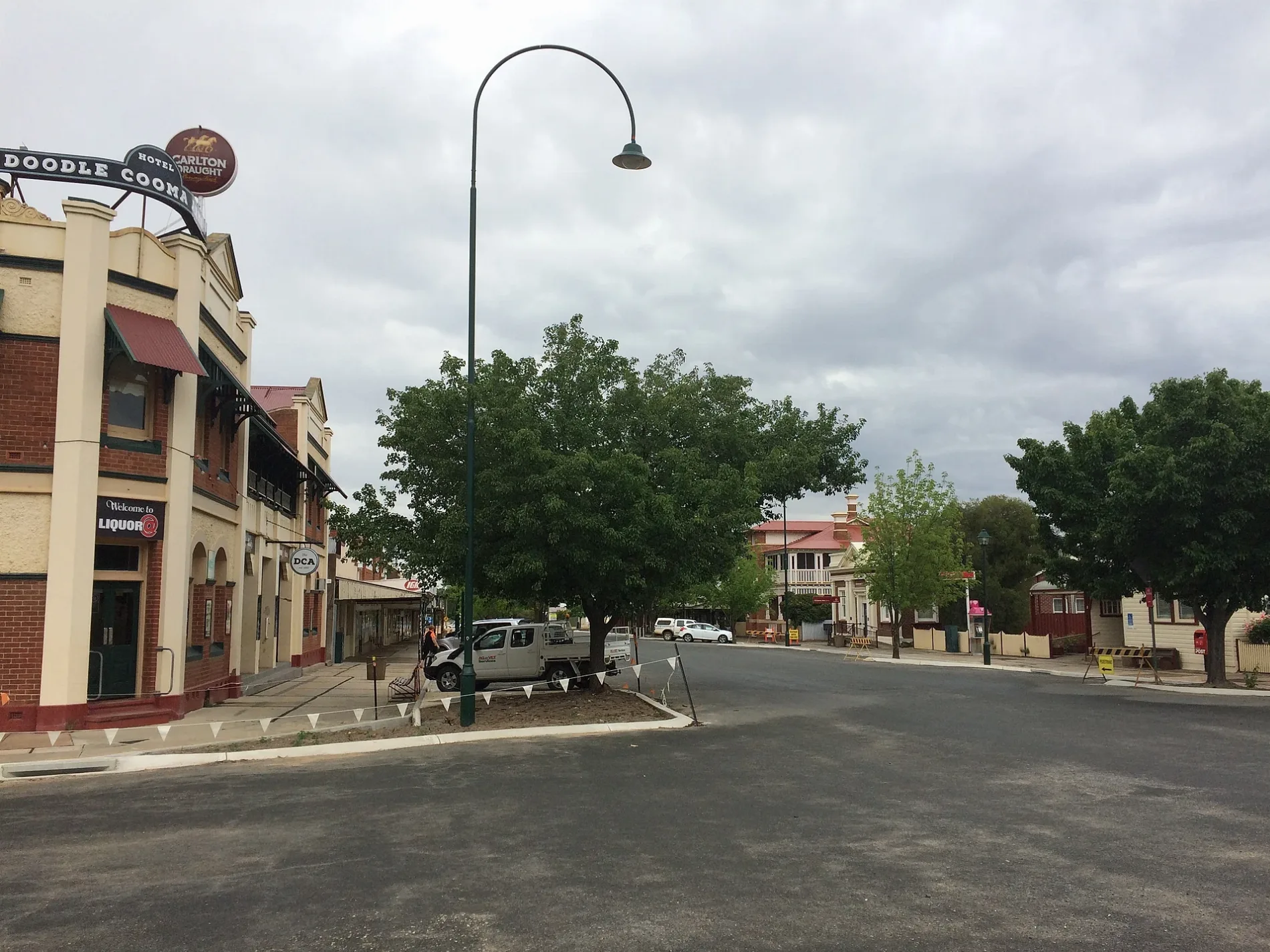
Butcher's
Electrical shops
Funeral directors
Platforms
- train routes 622,624
Pharmacy
Post offices
Off-licences
Bakeries
Collector shops
Public toilet
Roads nearby
Allan Street150 m
Lyne Street200 m
Keighran Street250 m
Bartsch AvenueMyopa Retirement Village
300 m
Keightley Street350 m
Railway ParadeHenty Rest Area, Fast & Ezy, Headlie Taylor Header Museum
350 m
Fox Street350 m
Graham Street350 m
Sladen Street East350 m
First Avenue350 m
Olympic HighwayWelcome to Lockhart Shire, Welcome to Yerong Creek
400 m
Elm Street450 m
Comer Street450 m
Ivor StreetRiverlife Church, Henty
450 m
Smart Street450 m
Hayes Street450 m
Second Street550 m
First Street550 m
Smith Street550 m
Day Street600 m
Second Avenue700 m
Spence Street700 m
Keirath Street700 m
Third Street750 m
Third Avenue750 m
South Street850 m
Fourth Street850 m
Banks nearby
Bendigo Bank50 m
Buildings nearby
The Old Servo200 m
Henty Swimming Pool / Tennis Club450 m
Car repair shops nearby
Henty Automotive100 m
Disused railways nearby
Grain Loop100 m
Fire stations nearby
Bucki Rural Fire Brigade250 m
Industrial areas nearby
Graincorp Henty Silo100 m
Parks nearby
Henty Memorial Park350 m
Henty Bicentennial Park450 m
Places of worship nearby
Lutheran Church450 m
Henty Presbyterian Church500 m
Uniting Church500 m
St Barnabas Anglican Church550 m
Police stations nearby
Henty Police Station150 m
Public toilets nearby
Henty Rest Area400 m
Pubs nearby
Doodle Cooma Arms Hotel100 m
Railway lines nearby
Henty Loop150 m
Main South Line150 m
Rand Branch Line550 m
Retail buildings nearby
IGA50 m
Silos nearby
Henty Grain Silo150 m
Streams nearby
Buckargingah Creek550 m
 Public transport map Henty Legend
| Railway | |
| Bus | |
| Tram |
 Cycling map Henty Legend
| Cycle path | |
| Cycle lane on road | |
| Cycling on bus lane | |
| Bicycle street | |
| Cyclists allowed | |
| Cyclists allowed, good surface | |
| No cycling | |
| Cobblestones |
| Long-distance cycle route | (depending on scale) | |
| Long-distance cycle route |
 Walking map Henty Legend
| Path |
| Long-distance hiking trail | (depending on scale) | |
| Long-distance hiking trail | ||
| No pedestrians |