
Margaret Street in Ashfield
Margaret Street in Inner West Council is a residential street and runs in a northeast-southwest direction starting from John Street and ends in a cul-de-sac. Margaret Street also exists in Stanmore, Petersham, Dulwich Hill and Enmore.
- Road Type
- residential street
- Route
- northeast-southwest
Image
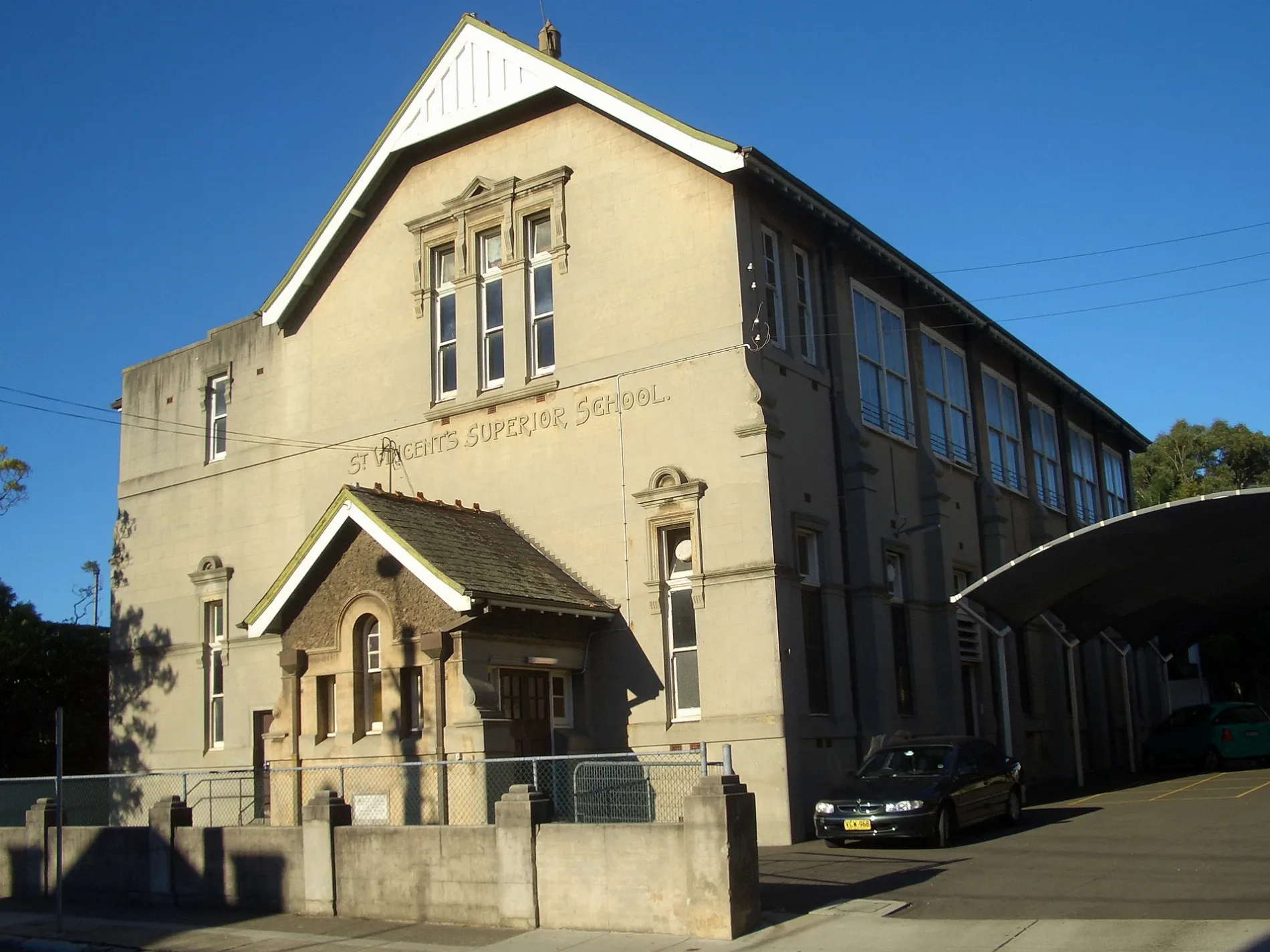
Dentist
Clinic
Cafés
Bus stops
Convenience stores
Car parts shops
Medical supply shops
Kindergarten
Petrol stations
Roads nearby
Webbs Street150 m
John Street150 m
Comet Street150 m
Broughton Street150 m
Taringa Street150 m
Albert Parade200 m
Frederick StreetFrederick St at Church St, Frederick St at John St, Frederick St at Banks St, Frederick St at Albert Pde, Frederick St after Parramatta Rd, Frederick St after Elizabeth St, Frederick St before Elizabeth St, Frederick St at Henry St, Frederick St after Henry St, Power Crank
200 m
Hedger Avenue200 m
Church Street300 m
Vine Street300 m
Banks Street300 m
Hunt Street350 m
Eccles Avenue350 m
Tawa Street350 m
Mackay Street400 m
Etonville Parade400 m
Lucy Street400 m
Alexandra Street400 m
Lucy Court450 m
Gregory Avenue450 m
Pound Lane450 m
Croydon RoadCroydon Rd after Sunbeam Av, Croydon Rd at Dalmar St, 2 Croydon road Croydon NSW 2132 Sydney, Victory Motorcycles
450 m
Charlotte StreetAshfield Apothecary, Happy Daze Cafe, Ashfield North News, Ria Money Transfer Agent, Kuncha's Hair and Beauty Art, Thai Number one, The Ashfield Veggies & Geocery Store, Homebush Halal Meats
450 m
Rectory Avenue450 m
Eccles Lane450 m
Benalla Avenue450 m
Richmond Avenue450 m
Alt StreetTomident Dental Supplies, Ashfield Mini Supermarket, Mini Supermarket
450 m
Bland StreetWoolworths
450 m
Julia Street500 m
Nixon Avenue500 m
Webbs Avenue550 m
Brown StreetAshfield Station, Brown St, Stand A, GA ON Hair Salon, Professor Barber Shop, Ashfield Station, Brown St, Stand B, Ashfield Shoe & Mobile Repair, Ashfield, Bike Lockers - Ashfield Station, Brown St, Taste Station Ashfield, Ashfield Station, Brown St, Stand D, Formosa Coffee, Ashfield Station, Brown St, Stand C
550 m
Buildings nearby
Ministry Centre400 m
Detached houses nearby
Asiana Centre500 m
Guest house nearby
Ashfield Lodge200 m
Ashfield Boarding House250 m
Rochester Private Hotel350 m
Parks nearby
Albert Parade Reserve150 m
Rotary Park200 m
J G McCartney Reserve250 m
St John's Church Grounds300 m
Hammond Park400 m
Places of worship nearby
St John's350 m
St Vincent's500 m
Residential areas nearby
Glenmore Gardens350 m
Fielders Green450 m
Social facilities nearby
Bupa Aged Care Ashfield300 m
Pitt Wood Village550 m
Public transport map Ashfield Legend
| Railway | |
| Bus | |
| Tram |
Cycling map Ashfield Legend
| Cycle path | |
| Cycle lane on road | |
| Cycling on bus lane | |
| Bicycle street | |
| Cyclists allowed | |
| Cyclists allowed, good surface | |
| No cycling | |
| Cobblestones |
| Long-distance cycle route | (depending on scale) | |
| Long-distance cycle route |
Walking map Ashfield Legend
| Path |
| Long-distance hiking trail | (depending on scale) | |
| Long-distance hiking trail | ||
| No pedestrians |