
Orpington Street in Ashfield
Orpington Street in Inner West Council is a residential street. The road has cycle paths (shared lane markings). It runs in a northeast-southwest direction and crosses Parramatta Road, Loftus Street, Pembroke Street, Chandos Street and Elizabeth Street. This road is part of the bicycle route "Dalhouse". The nearest stops include Orpington St opp Chandos St, Orpington St at Elizabeth St, Orpington St at Chandos St, Orpington St opp Pembroke St and Ashfield Bowling Club, Orpington St. The bus line 406 stops here. Orpington Street also exists in Bayside Council.
- Cycle Path
- shared lane
- Road Type
- residential street
- Route
- northeast-southwest
Image
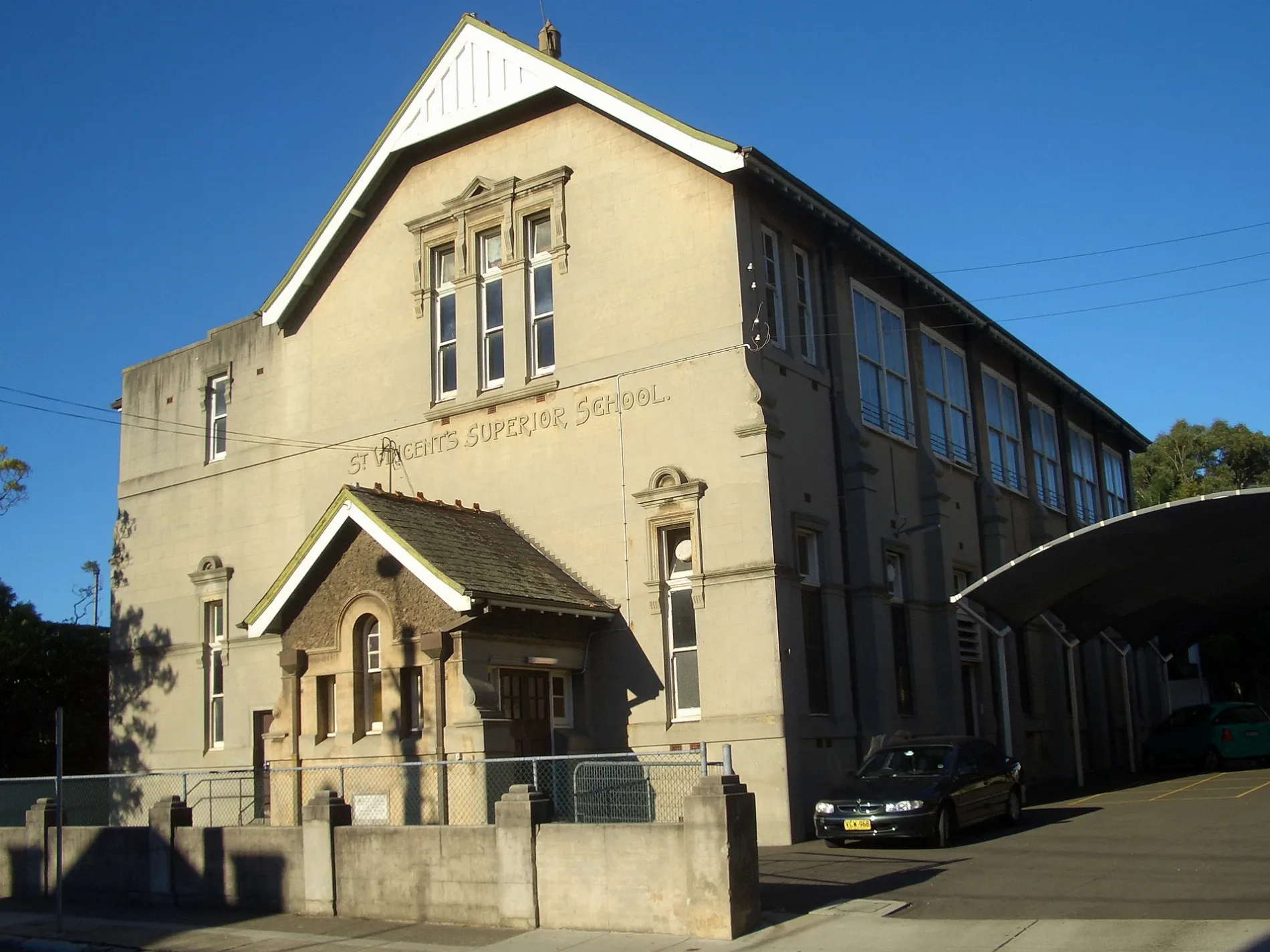
Bus stops
- bus lines 406
Roads nearby
Oak Street150 m
Webbs Avenue200 m
Grainger Avenue200 m
Wood StreetFamily Medical Prctice Ashfield
250 m
Elizabeth StreetReal Health Medical Centre, Elizabeth St after Bland St, Elizabeth St at Bland St, Ashfield Denture Clinic, Elizabeth St before Alt St, Elizabeth St after Alt St, Cathy's Vogue Hair Design, Sydney Funerals - Ashfield, Dr Chan, Ashfield Service Station, Indian Convenience Store, CHAHARI, Elizabeth St after Charlotte St, Elizabeth St at Charlotte St
250 m
Station StreetAshfield, Candle Cafe, Para Hair Desigm, Daystar Travel, Ashfield Korea Mart, Deshi Groceries, Masagana Oriental Variety Store, Biomass Heating Australia
250 m
Cecil Street250 m
Orchard CrescentBike Shed - Ashfield Sation, Brown St
300 m
Wallace Street350 m
Bruce Street350 m
Charlotte StreetAshfield Apothecary, Happy Daze Cafe, Ashfield North News, Ria Money Transfer Agent, Kuncha's Hair and Beauty Art, Thai Number one, The Ashfield Veggies & Geocery Store, Homebush Halal Meats
350 m
Federal Avenue350 m
Murrell Street350 m
David PlaceAshfield
350 m
Grimmond Avenue400 m
Liverpool RoadAshfield Hotel, Manmaruya, Ashfield Station, Liverpool Rd, Stand G, Sushi Moa, Multicare Family Medical Centre, Healthmore Pharmacy, Ngoodle Restaurant Ashfield, Fruitarian Supermarket, Indian House Ashfield, Chromatic Games, ACE Rolls & Bowls, Ashfield Station, Liverpool Rd, Stand E, LJ Hooker, House of Shisha, Globa / art, Magic / H.studio, Golden Throne, Liverpool Rd opp Ashfield RSL, Westend Newsagency, TSG, Jacob's Vietnamese Place, Ashfield Station, Liverpool Rd, Stand F, Liverpool Rd at Cavill Av, Liverpool Rd at Lapish Av, Liverpool Rd opp Lapish Av, Ashfield RSL, Liverpool Rd, Liverpool Rd opp Murrell St, Crews Cafe, Sim Kebab House, Great Silkroad Uyghur Restaurant, Strike One Collectables, Queen of Sheba, Liverpool Rd at Murrell St, First Choice Liquor, Ashfield Boys High School, Liverpool Rd, Ashfield Cycles, Crocodile Farm Hotel, Liverpool Rd at Knox St, Metro One, Cash Converters, 888 chicken, The Urban Artisans, Chemist Warehouse, Fat Hawker, Yu Fu Supermarket, Little Shanghai Asian Supermarket, TAB, Alfa Money Lent, Pho Vien Restaurant, Just Liquor Cellars, i.D Hairsalon, Physio & Remedial Massage, New Shanghai Night, Lucid Laundromat, Eaton Chinese Restaurant, Burgers Anonymous, Monica Hair Professional, SH & CJ Quality Meat and Poultry, North Shore Coaching College, Yahya Convenience Tobacconist, Young-U Beauty Clinic, Elegance Health & Beauty Centre, Malay-Chinese, Shanghai Night, New Shanghai, Liverpool Rd opp Ashfield Boys High School
400 m
Nottle Street450 m
Victoria StreetVictoria St opp Allman Park, Allman Park, Victoria St, Victoria St opp The Sydney Private Hospital, Victoria St at Clissold St, Victoria St opp Cardinal Freeman Village, Cardinal Freeman Village, Victoria St, Victoria St after Clissold St, The Sydney Private Hospital, Victoria St
450 m
Carlton CrescentBP, BP Shop, Purple Trees the Cafe, Summer Hill, Summer Hill Smiles
450 m
Grosvenor CrescentSummer Hill Village Vet, Summer Hill
500 m
Loftus Street500 m
Chandos Street550 m
Curt Street550 m
Prospect RoadInner West Sustainability Hub, Trinity Grammar School, Prospect Rd, Prospect Rd opp Trinity Grammar School
550 m
Pembroke StreetPembroke St at Ormond St
550 m
Ormond StreetAshfield Park, Ormond St
600 m
Oaklands Avenue600 m
Rogers Avenue650 m
Parramatta RoadParramatta Rd after Liverpool Rd, Milano Furniture, Parramatta Rd at Earle Av, Parramatta Rd at Bland St, BWS, Ashfield Park, Parramatta Rd, Parramatta Rd at Chandos St, Parramatta Rd before Frederick St, Snowmaster, Quality Inn Sunshine Haberfield
700 m
Dalhousie Street700 m
Gower Street700 m
McDonald's Drive Through750 m
Railways nearby
Ashfield250 m
Buildings nearby
Wests Ashfield Leagues Club350 m
Car parks nearby
Park&Ride - Ashfield250 m
Car parts shops nearby
Supercheap Auto450 m
Commercial buildings nearby
Success Tax350 m
Detached houses nearby
Asiana Centre400 m
Fitness stations nearby
Outdoor Fitness Equipment500 m
Hotels nearby
Ashfield Manor Hotel450 m
Kindergartens nearby
Rise & Shine Kindergarten Haberfield700 m
Motel nearby
Westside Motor Inn450 m
Parks nearby
Ashfield Park700 m
Pet shops nearby
PetO450 m
Petrol stations nearby
7-Eleven450 m
Places of worship nearby
The Church of Jesus Christ of Latter-day Saints600 m
Social facilities nearby
Pitt Wood Village200 m
Willows Private Nursing Home550 m
Sports pitches nearby
Ashfield Bowling Club600 m
Public transport map Ashfield Legend
| Railway | |
| Bus | |
| Tram |
Cycling map Ashfield Legend
| Cycle path | |
| Cycle lane on road | |
| Cycling on bus lane | |
| Bicycle street | |
| Cyclists allowed | |
| Cyclists allowed, good surface | |
| No cycling | |
| Cobblestones |
| Long-distance cycle route | (depending on scale) | |
| Long-distance cycle route |
Walking map Ashfield Legend
| Path |
| Long-distance hiking trail | (depending on scale) | |
| Long-distance hiking trail | ||
| No pedestrians |