
Station Street in Ashfield
Station Street in Inner West Council is a pedestrian zone. It runs in an east-west direction starting from Brown Street and crosses Dengate Avenue and Charlotte Street and ends at Wood Street. In the vicinity, you can find among other things 2 supermarkets, a variety store, a specialist shop and a café. The nearest stop is Ashfield. Station Street also exists in Petersham and Marrickville.
- Road Type
- pedestrian zone
- Route
- east-west
Image
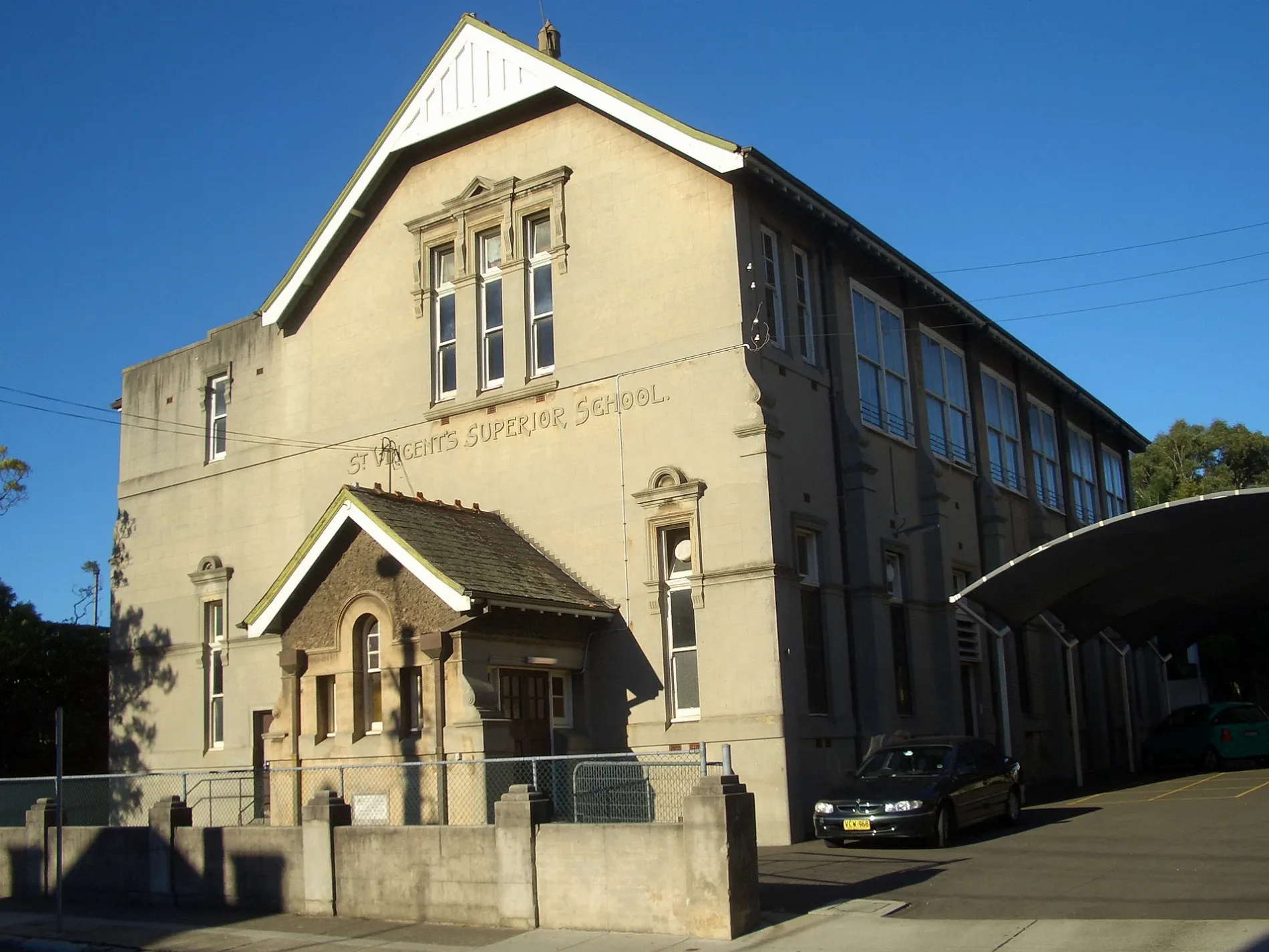
Hairdressers
Roads nearby
Dengate Avenue100 m
The EsplanadeAshfield Dental Care, Siedova Nails, Dental Surgery
100 m
Brown StreetGA ON Hair Salon, Professor Barber Shop, Ashfield Station, Brown St, Stand B, Ashfield Shoe & Mobile Repair, Ashfield Station, Brown St, Stand A, Ashfield, Bike Lockers - Ashfield Station, Brown St, Taste Station Ashfield, Ashfield Station, Brown St, Stand D, Formosa Coffee, Ashfield Station, Brown St, Stand C
100 m
Chessel LaneKujira, HuaXing Bakery, Rungchai M-60 Muay Thai, T Town Convenience
150 m
Fox's LaneLong Quan Seafood, L & M’s Emporium, You You Bear Yoghurt, Forza Jiu Jitsu
150 m
Wood StreetFamily Medical Prctice Ashfield
150 m
Grainger Avenue150 m
Hercules StreetDay & Night Chemist Ashfield, Healthy Ocean Food, Thank You Mart, Hercules Bakery, Daju Bhaiko Pasal, Xin Ping B.B.Q. Shop, Ashfield Newsagency, Samao's Salon, Mei Quong Tart Memorial, Mr.Wong Oriental Store, Connect Anywhere, Chinese Bun Shop, B For Butchery, Milk Flower, My Season's, Hercules
150 m
Drakes LaneFresh Fruit & Veg Ashfield, Ashfield Dental Centre, Ashfield Radiology, Namaste Restaurant - Ashfield, Miss Celie's
150 m
Nixon Avenue200 m
Bland StreetWoolworths
200 m
Markham LaneChiangmai Spa & Thai Massage
200 m
Markham PlaceMoment Tea
200 m
Orchard CrescentBike Shed - Ashfield Sation, Brown St
200 m
Ashfield Town Hall SquareAshfield Library, Ashfield Town Hall, Brewfield Cafe & Catering, Me Banh Mi, The Little Hut, GOLD-X, W, Gong cha, Oliver brown, Guzman y Gomez
250 m
Amy Place300 m
Alt StreetTomident Dental Supplies, Ashfield Mini Supermarket, Mini Supermarket
300 m
Liverpool RoadAshfield Station, Liverpool Rd, Stand G, Sushi Moa, Multicare Family Medical Centre, Healthmore Pharmacy, Ngoodle Restaurant Ashfield, Fruitarian Supermarket, Indian House Ashfield, Chromatic Games, ACE Rolls & Bowls, Ashfield Station, Liverpool Rd, Stand E, LJ Hooker, House of Shisha, Globa / art, Magic / H.studio, Golden Throne, Ashfield Hotel, Manmaruya, Liverpool Rd opp Ashfield RSL, Westend Newsagency, TSG, Jacob's Vietnamese Place, Ashfield Station, Liverpool Rd, Stand F, Liverpool Rd at Cavill Av, Liverpool Rd at Lapish Av, Liverpool Rd opp Lapish Av, Ashfield RSL, Liverpool Rd, Liverpool Rd opp Murrell St, Crews Cafe, Sim Kebab House, Great Silkroad Uyghur Restaurant, Strike One Collectables, Queen of Sheba, Liverpool Rd at Murrell St, First Choice Liquor, Ashfield Boys High School, Liverpool Rd, Ashfield Cycles, Crocodile Farm Hotel, Liverpool Rd at Knox St, Metro One, Cash Converters, 888 chicken, The Urban Artisans, Chemist Warehouse, Fat Hawker, Yu Fu Supermarket, Little Shanghai Asian Supermarket, TAB, Alfa Money Lent, Pho Vien Restaurant, Just Liquor Cellars, i.D Hairsalon, Physio & Remedial Massage, New Shanghai Night, Lucid Laundromat, Eaton Chinese Restaurant, Burgers Anonymous, Monica Hair Professional, SH & CJ Quality Meat and Poultry, North Shore Coaching College, Yahya Convenience Tobacconist, Young-U Beauty Clinic, Elegance Health & Beauty Centre, Malay-Chinese, Shanghai Night, New Shanghai, Liverpool Rd opp Ashfield Boys High School
300 m
Webbs Avenue300 m
David PlaceAshfield
350 m
Holden StreetBread of Life Christian Church in Sydney, Holden St after Liverpool Rd, Da Vatti Ashfield, Holden St at Liverpool Rd, Holden St opp Palace St, High Street Cafe, Holden St at Arthur St, Holden St at Robert St, Holden St opp Robert St
350 m
Orpington StreetOrpington St opp Chandos St, Orpington St at Elizabeth St, Orpington St at Chandos St, Orpington St opp Pembroke St, Ashfield Bowling Club, Orpington St, Ashfield Park, Orpington St
350 m
Chandos Street400 m
Murrell Street400 m
Grimmond Avenue400 m
Oak Street400 m
Charlotte StreetAshfield Apothecary, Happy Daze Cafe, Ashfield North News, Ria Money Transfer Agent, Kuncha's Hair and Beauty Art, Thai Number one, The Ashfield Veggies & Geocery Store, Homebush Halal Meats
450 m
Albert Parade450 m
Railways nearby
Ashfield350 m
Buildings nearby
Ashfield Exchange150 m
Ashfield Baptist Church Hall350 m
Car parks nearby
Park&Ride - Ashfield200 m
Commercial buildings nearby
Lumina200 m
Ashfield Court300 m
Success Tax400 m
Guest house nearby
Rochester Private Hotel450 m
Ashfield Boarding House550 m
Parks nearby
Rotary Park450 m
Places of worship nearby
St Vincent's200 m
Ashfield Baptist Church400 m
Ashfield Uniting Church450 m
Public buildings nearby
Ashfield Council250 m
Ashfield Civic Centre250 m
Retail buildings nearby
Tyreel Building100 m
Club Ashfield100 m
Weatherill's Buildings100 m
Shopping malls nearby
Ashfield Mall250 m
Social facilities nearby
Pitt Wood Village250 m
Loaves And Fishes Restaurant400 m
Public transport map Ashfield Legend
| Railway | |
| Bus | |
| Tram |
Cycling map Ashfield Legend
| Cycle path | |
| Cycle lane on road | |
| Cycling on bus lane | |
| Bicycle street | |
| Cyclists allowed | |
| Cyclists allowed, good surface | |
| No cycling | |
| Cobblestones |
| Long-distance cycle route | (depending on scale) | |
| Long-distance cycle route |
Walking map Ashfield Legend
| Path |
| Long-distance hiking trail | (depending on scale) | |
| Long-distance hiking trail | ||
| No pedestrians |