
Albany Road in Petersham
Albany Road in Inner West Council is an asphalted residential street. It runs in a northeast-southwest direction starting from Douglas Street and crosses Lorna Lane, Temple Street, Charles Street, Bruce Street, Myrtle Lane West, Clarendon Road, Clarendon Lane West, Cannon Lane, Cannon Street and Percival Lane West. It connects Stanmore and Petersham.
- Road Type
- residential street
- Route
- northeast-southwest
Image
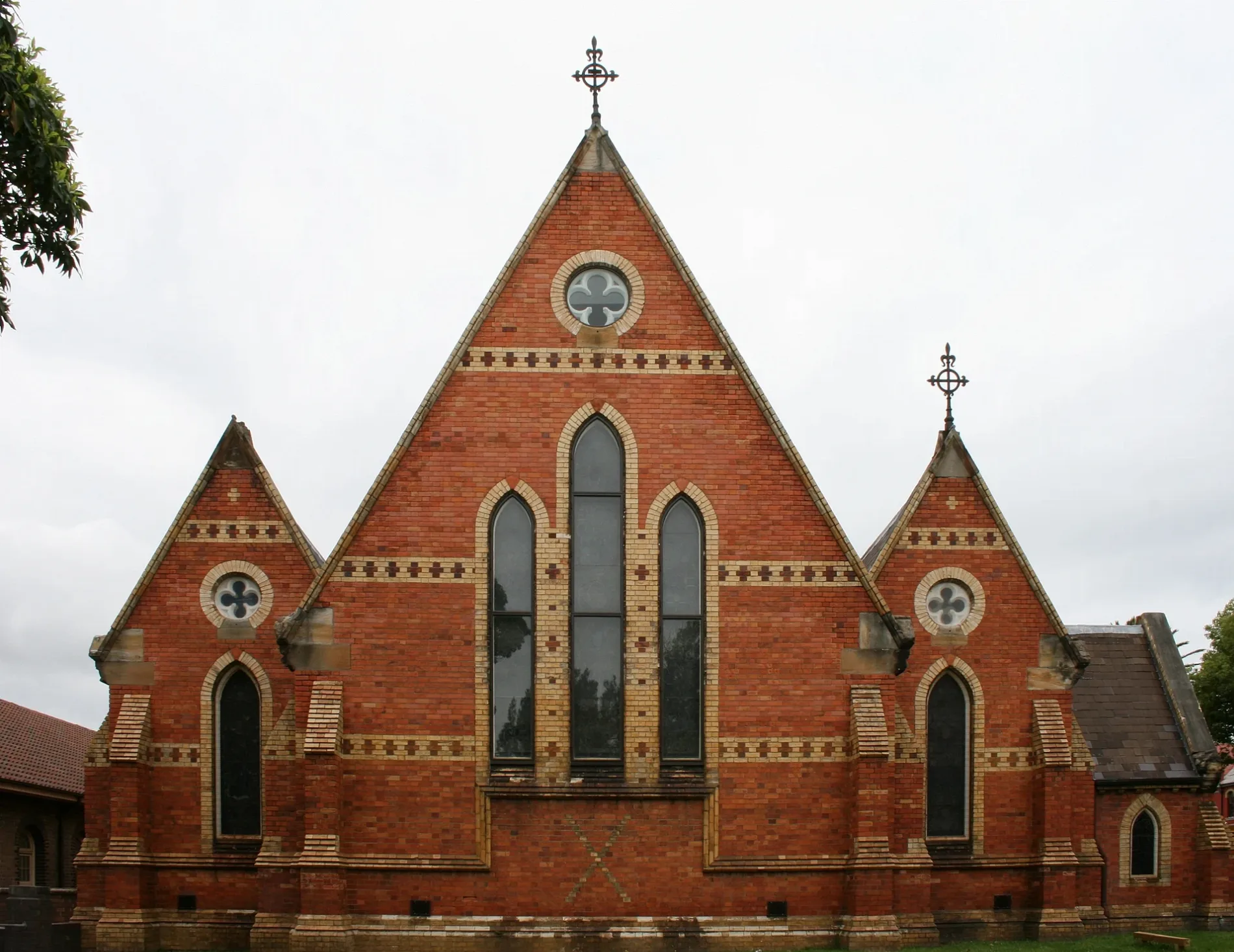
Places of worship
Houseware shops
Bicycle parkings
Pubs
Gallery
Clinic
Bus stops
Dry cleaner's
Restaurants
Hairdressers
Platforms
Stations
Cafés
Clothing shops
Roads nearby
Lorna Lane100 m
Westbourne Lane100 m
Stanley Street100 m
Budds Lane150 m
Douglas StreetDouglas St at Albany Rd
150 m
Westbourne Street150 m
Crystal StreetCrystal St after Douglas St, Wattle & Bee, Hair Strategy, A Grade Alterations, Petersham Town Hall Bicycle Parking, Crystal St at Queen St, Crystal St at Brighton St, Crystal St opp TAFE Petersham, Crystal St at Westbourne St
150 m
Stanley Lane150 m
Crystal Lane West200 m
York Crescent200 m
Burns Street200 m
Terminus StreetWhite Cockatoo Hotel
200 m
Crystal Street Railway Bridge200 m
Hordern Avenue200 m
Bruce Lane West200 m
Croydon Street250 m
Burns Lane250 m
Terminus Lane250 m
Trafalgar Street Crossing250 m
Temple StreetRed Post Box, Payphone
250 m
Trafalgar StreetGate A, Gate B, Petersham, Trafalgar St opp Petersham Station, Petersham RSL, Petersham Station, Trafalgar St
250 m
Bruce Street300 m
Robert Street300 m
Crydon Lane300 m
Petersham StreetSock Drawer Heroes
350 m
Fishers Reserve350 m
Corunna RoadDr Joseph Rizk, Natty's Cafe
350 m
Carrington Place350 m
Petersham Lane400 m
Elswick Street400 m
Charles Street400 m
Palace Lane400 m
Margaret Street450 m
Queen StreetThe Papa's Table
450 m
Railway StreetTaverners Hill Infants School, Railway St
500 m
Kirkpatrick Lane500 m
Hughes Street500 m
Fort StreetTAFE Petersham, Fort St
500 m
Norton StreetNortons on Norton Hotel, Mr Q's Restaurant, Australia Post, Bar Italia, Chemist Warehouse, Il Cugino Pizzeria, Norton St at Carlisle St, Norton St at Allen St, Norton St opp Carlisle St, Lunetta Gelateria, Italian Forum Car Park, Berkelouw Books, Norton St opp Norton Plaza, Norton St after Parramatta Rd, Norton St before Parramatta Rd, Leichhardt Public School, Norton St, Bun Me, Grill'd, Sushi Maru, Moretti Ristorante Pizzeria, Mario's Pizza Bar, Leichhardt Espresso, Sonoma, Norton St after City West Link, Norton St opp Pioneers Memorial Park, Norton St opp Leichhardt Public School
500 m
Renwick StreetCafein Bar
550 m
Renwick LaneBar Sport
550 m
Parramatta RoadParramatta Rd before Catherine St, Parramatta Rd opp Fort Street High School, Convenience Store, Designer Rugs, Audio Connection, CofiART, Pre Auction Car Sales, Fastfit Automotive Specialist, Len Vine Automobiles, Parramatta Rd after Flood St, Parramatta Rd after Rofe St, Attractive Blinds & Shutters
550 m
Dot Lane600 m
Balmain RoadCrowbar, Balmain Rd at Derbyshire Rd, Balmain Rd opp Derbyshire Rd, Sydney Secondary College Leichhardt Campus, Balmain Rd
600 m
Hay Street600 m
Italian ForumLeichhardt Library
600 m
Parks nearby
Brighton Street Reserve350 m
Quinn Playground400 m
Residential buildings nearby
The Citadel Apartments500 m
Public transport map Petersham Legend
| Railway | |
| Bus | |
| Tram |
Cycling map Petersham Legend
| Cycle path | |
| Cycle lane on road | |
| Cycling on bus lane | |
| Bicycle street | |
| Cyclists allowed | |
| Cyclists allowed, good surface | |
| No cycling | |
| Cobblestones |
| Long-distance cycle route | (depending on scale) | |
| Long-distance cycle route |
Walking map Petersham Legend
| Path |
| Long-distance hiking trail | (depending on scale) | |
| Long-distance hiking trail | ||
| No pedestrians |