
Douglas Street in Stanmore
Douglas Street in Inner West Council is a three-lane, concreted secondary road (50 km/h). It runs in an east-west direction starting from Crystal Street and crosses Westbourne Lane, Albany Road, Stanley Street, Bruce Lane West, Bruce Street, Bruce Lane East, Gordon Crescent, Percival Lane West, Percival Road, Stanmore Lane and Ravenue Lane. It connects Stanmore and Petersham. In the vicinity, you can find among other things a pharmacy, a café and a hairdresser's. The nearest stops are Douglas St opp Albany Rd and Stanmore Station, Douglas St. The bus line 412 stops here.
- Road Type
- secondary road
- Lanes
- 2
- Speed Limit
- 50
- Route
- east-west
Image
Bus stops
- bus lines 412
Hairdressers
Roads nearby
Bruce Street100 m
Bruce Lane West100 m
Crescent Lane150 m
Budds Lane150 m
Stanley Street150 m
Merton Street200 m
Lorna Lane200 m
Trafalgar StreetGate A, Gate B, Petersham, Trafalgar St opp Petersham Station, Petersham RSL, Petersham Station, Trafalgar St
200 m
Stanley Lane250 m
Albany Road250 m
Cavendish Street250 m
Bent Street250 m
Aubrey Street300 m
York Crescent300 m
Hopetoun Street300 m
Douglas StreetDouglas St at Albany Rd
300 m
Merton Lane300 m
Crystal StreetCrystal St after Douglas St, Wattle & Bee, Hair Strategy, A Grade Alterations, Petersham Town Hall Bicycle Parking, Crystal St at Queen St, Crystal St at Brighton St, Crystal St opp TAFE Petersham, Crystal St at Westbourne St
300 m
Terminus StreetWhite Cockatoo Hotel
350 m
Stanmore RoadPublic House Petersham, Daisy's Milk Bar, BWS, Petvet, Leah Da Gloria, Inform Print, Perfume Head, Family Practice, Zoom Productions, Newsagency Gallery, Paint Place, Little Treasures Cafe, Petersham Old Wares, Choice Blinds & Shutters, Penny Farthing, Laundry & Dry Clean
350 m
Crystal Street Railway Bridge350 m
Trafalgar Street Crossing350 m
Crystal Lane West350 m
Church StreetFirst Light Petersham
400 m
Frederick StreetSuburgia
400 m
Marshall Street400 m
Burns Street400 m
Brighton StreetBrothers Ben, The Bistro at The PBC, Inner West Tool Library, Metropolitan Community Church
450 m
Burns Lane450 m
Terminus Lane450 m
Marshall LaneGreek Orthodox childcare centre
450 m
Railway StreetTaverners Hill Infants School, Railway St
500 m
Chester StreetYẾN
550 m
Regent StreetPetersham
550 m
Fisher StreetPetersham LPO
550 m
Denning Street550 m
James Street600 m
Newington Road600 m
Middleton Street600 m
Albert StreetLUNAS
600 m
New Canterbury RoadHuntsbury Hotel, Petersham Smash Repairs, Inner West Panel Shop, New Canterbury Rd opp Wardell Rd, New Canterbury Rd before Wardell Rd, Frango Charcoal Chicken, Rocketboy, Honeymoon Patisserie, Petersham Liquor Mart, La Patisserie, Hello World, Jamie House, Costa Do Sol, Adriana Florist, Romeos Massage & Natural Therapy Centre, New Canterbury Rd before Livingstone Rd, George Delicatessen, Art & Framing, Three Arrows Coffee Shop & Roastery, Versace Hair Salon, Petersham Family Medical Centre, Charlie Phi's Vietnamese Pork Rolls, New Canterbury Rd at West St, Moon Koon Chinese Restaurant, Talho Portugues, Petersham Pharmacy, Sweet Belem, Two Fat Greeks, Foodworks, Newtown Nails & Spa, Mansart, K. Jim Fruit Market, Sawadee Thai Massage, The Local's Barber Shop Petersham, One more chocolate shop
650 m
Oxford Street700 m
Amenities nearby
Marrickville Council Building450 m
Buildings nearby
Tupou College Centre450 m
Petersham Reservoir600 m
Royal Arch Masonic Centre650 m
Uniting Locke Haven700 m
Parks nearby
Maundrell Park350 m
Places of worship nearby
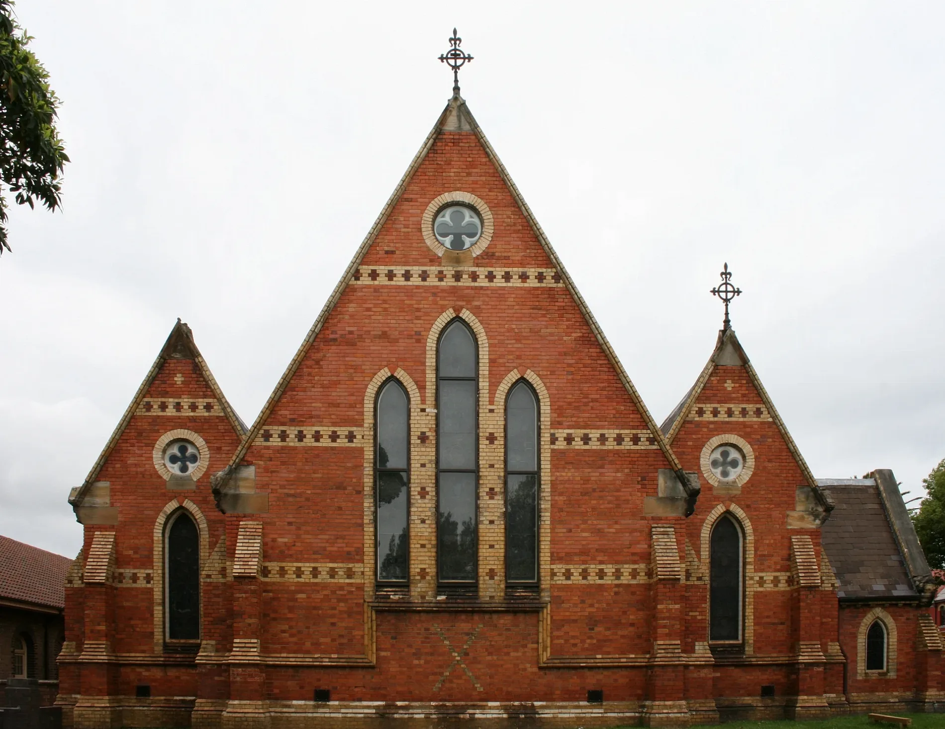
All Saints Anglican400 m
Town halls nearby
Petersham Town Hall400 m
 Public transport map Stanmore Legend
| Railway | |
| Bus | |
| Tram |
 Cycling map Stanmore Legend
| Cycle path | |
| Cycle lane on road | |
| Cycling on bus lane | |
| Bicycle street | |
| Cyclists allowed | |
| Cyclists allowed, good surface | |
| No cycling | |
| Cobblestones |
| Long-distance cycle route | (depending on scale) | |
| Long-distance cycle route |
 Walking map Stanmore Legend
| Path |
| Long-distance hiking trail | (depending on scale) | |
| Long-distance hiking trail | ||
| No pedestrians |