
Oxford Street in Petersham
Oxford Street in Inner West Council is an asphalted residential street. The road has sidewalks. It runs in an east-west direction starting from Livingstone Road and crosses Audley Street and Shaw Street and ends at Albert Street.
- Road Type
- residential street
- Route
- east-west
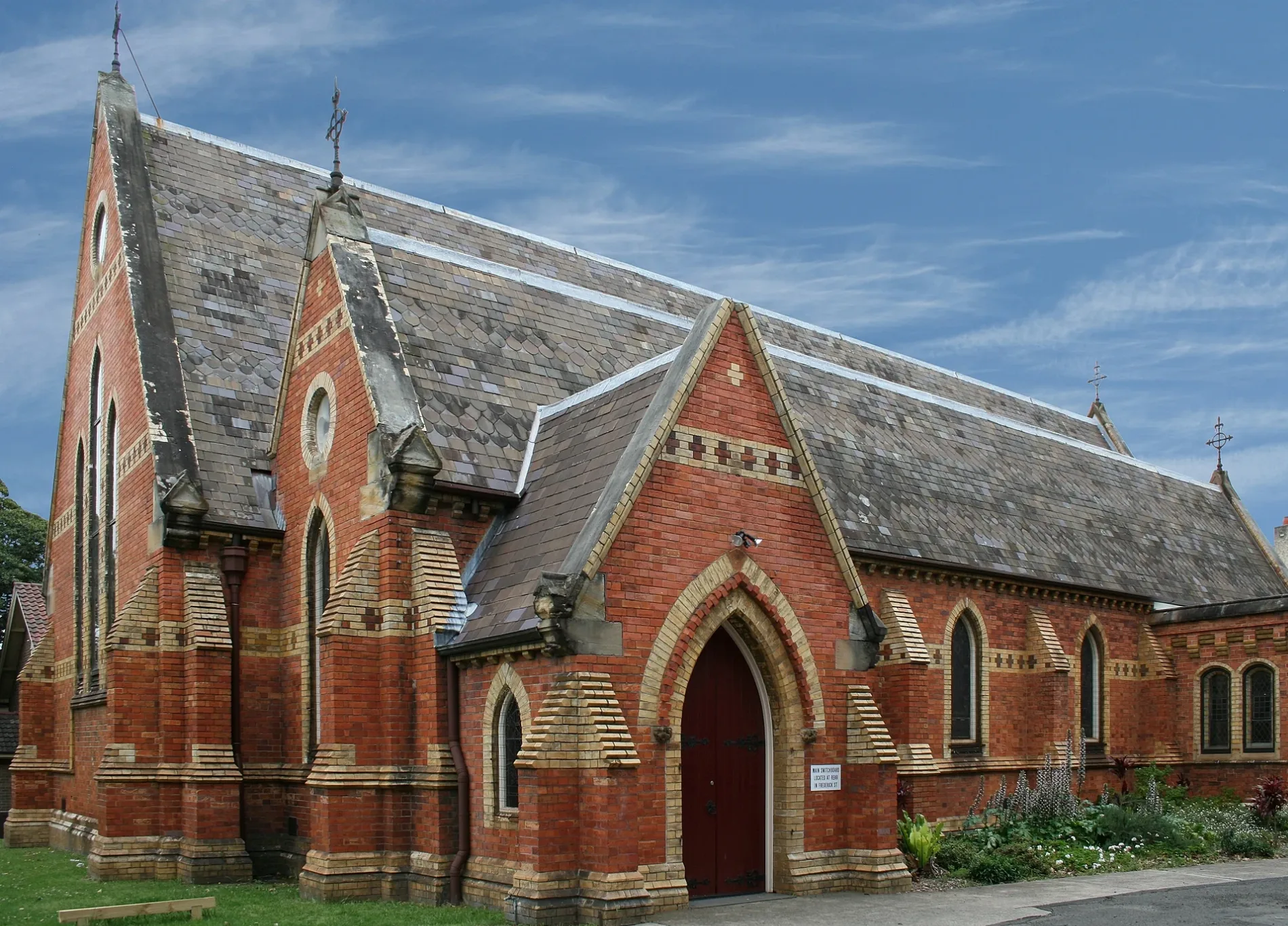
Image
Bus stops
Motel
Gallery
Pharmacy
Greengrocers
Cafés
Clothing shops
Supermarkets
Beauty salons
Restaurants
Clinic
Dry cleaner's
Tobacconist's
Roads nearby
Belgrave Street100 m
Shaw Street100 m
James Street150 m
Chester StreetYẾN
150 m
Audley StreetThe Counter, Seed Cuisine, Le-Mans Car Bay Body Repairs, Art Framing, Bon Gusto, Kubota Japanese Cuisine, Audley St opp Fisher St, Audley St at Fisher St, Silvas, Gloria’s Portuguese Restaurant, Broadview, Cignal
200 m
Rosford Avenue300 m
Fisher StreetPetersham LPO
300 m
Regent StreetPetersham
300 m
Audley LaneCharlie's Deli
300 m
Frederick StreetSuburgia
350 m
Balanaming Lane350 m
Small Lane400 m
Sadlier CrescentThe Tiny Giant
400 m
Maria Street400 m
Gordon Lane400 m
Abels Lane400 m
Trafalgar Street Crossing450 m
Nelson Place450 m
South AvenuePetersham
500 m
Gordon StreetOcean Blue, Gordon St at New Canterbury Rd, Gordon St before New Canterbury Rd
500 m
Railway StreetTaverners Hill Infants School, Railway St
500 m
Carrington Place550 m
Trafalgar StreetGate A, Gate B, Petersham, Trafalgar St opp Petersham Station, Petersham RSL, Petersham Station, Trafalgar St
550 m
Fishers Reserve550 m
Searl Street550 m
Brighton Lane600 m
Station StreetBread & Stone
600 m
Little Brighton Street600 m
The Avenue600 m
Amenities nearby
Marrickville Council Building350 m
Buildings nearby
Petersham Reservoir200 m
Uniting Locke Haven200 m
The Madison250 m
Royal Arch Masonic Centre250 m
Telephone Exchange300 m
Majestic350 m
Petersham Signal Box450 m
Churches nearby
Assemblies of God Church350 m
Colleges nearby
S 3840450 m
3195450 m
S 4058450 m
Railway sites nearby
Petersham Railway Training College400 m
Railway stations nearby
Petersham Railway Station Former Building500 m
Residential buildings nearby
Montroy350 m
Kanimbla350 m
Santa Maria400 m
Ribbon400 m
Sports pitches nearby
Petersham Bowling Club600 m
Town halls nearby
Petersham Town Hall350 m
Public transport map Petersham Legend
| Railway | |
| Bus | |
| Tram |
Cycling map Petersham Legend
| Cycle path | |
| Cycle lane on road | |
| Cycling on bus lane | |
| Bicycle street | |
| Cyclists allowed | |
| Cyclists allowed, good surface | |
| No cycling | |
| Cobblestones |
| Long-distance cycle route | (depending on scale) | |
| Long-distance cycle route |
Walking map Petersham Legend
| Path |
| Long-distance hiking trail | (depending on scale) | |
| Long-distance hiking trail | ||
| No pedestrians |