
Frederick Street in Petersham
Frederick Street in Inner West Council is a single-lane, concreted service road. The road has cycle paths (shared lane markings). It runs in an east-west direction starting from Crystal Street and crosses Church Street and ends at Hopetoun Street. In the vicinity, there is a restaurant. The nearest bus stop in the vicinity is Trafalgar St opp Petersham Station (approx. 150 m away). Frederick Street also exists in Sydenham.
- Bicycle
- designated
- Cycle Path
- shared lane
- Road Type
- service road
- Lanes
- 1
- Route
- east-west
Image
Restaurants
Roads nearby
Church StreetFirst Light Petersham
50 m
Shaw Street150 m
Hopetoun Street150 m
Trafalgar Street Crossing150 m
Chester StreetYẾN
200 m
Crystal Street Railway Bridge200 m
York Crescent200 m
Terminus StreetWhite Cockatoo Hotel
200 m
John StreetArcella Fresh
250 m
Trafalgar StreetGate A, Gate B, Petersham, Trafalgar St opp Petersham Station, Petersham RSL, Petersham Station, Trafalgar St
250 m
Stanley Lane250 m
James Street250 m
Merton Street300 m
Douglas StreetDouglas St at Albany Rd
300 m
Bent Street300 m
Crystal StreetCrystal St after Douglas St, Wattle & Bee, Hair Strategy, A Grade Alterations, Petersham Town Hall Bicycle Parking, Crystal St at Queen St, Crystal St at Brighton St, Crystal St opp TAFE Petersham, Crystal St at Westbourne St
300 m
Stanley Street300 m
Aubrey Street300 m
Marshall Street300 m
Albert StreetLUNAS
350 m
Merton Lane350 m
Newington Road350 m
Lorna Lane350 m
Albany Road350 m
Marshall LaneGreek Orthodox childcare centre
400 m
Denning Street400 m
Stanmore RoadPublic House Petersham, Daisy's Milk Bar, BWS, Petvet, Leah Da Gloria, Inform Print, Perfume Head, Family Practice, Zoom Productions, Newsagency Gallery, Paint Place, Little Treasures Cafe, Petersham Old Wares, Choice Blinds & Shutters, Penny Farthing, Laundry & Dry Clean
400 m
Budds Lane450 m
Bruce Lane West450 m
Bruce Street450 m
Cavendish Street450 m
Crescent Lane450 m
Bruce Lane East500 m
College Lane500 m
Middleton Street500 m
Temple StreetRed Post Box, Payphone
500 m
Douglas Lane500 m
Amenities nearby
Marrickville Council Building100 m
Buildings nearby
Duckmanton Drama Centre500 m
Tupou College Centre500 m
Old Chapel500 m
Le Couter Building500 m
Chapels nearby
New Chapel500 m
Outdoor seatings nearby
Sesquicentenary Courtyard600 m
Parks nearby
Maundrell Park250 m
Crammond Park500 m
Places of worship nearby
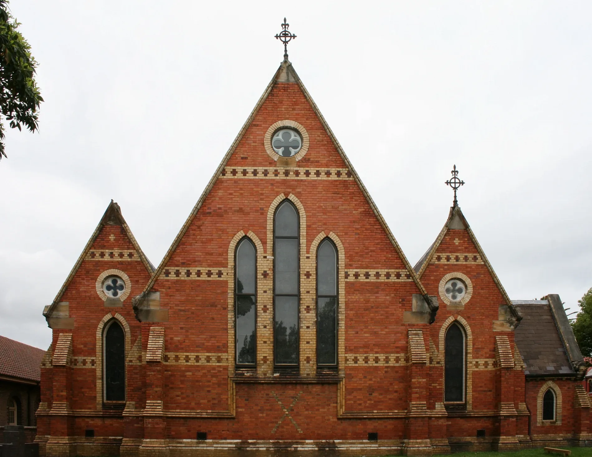
All Saints Anglican150 m
Sports pitches nearby
Basketball Court600 m
Town halls nearby
Petersham Town Hall50 m
Public transport map Petersham Legend
| Railway | |
| Bus | |
| Tram |
Cycling map Petersham Legend
| Cycle path | |
| Cycle lane on road | |
| Cycling on bus lane | |
| Bicycle street | |
| Cyclists allowed | |
| Cyclists allowed, good surface | |
| No cycling | |
| Cobblestones |
| Long-distance cycle route | (depending on scale) | |
| Long-distance cycle route |
Walking map Petersham Legend
| Path |
| Long-distance hiking trail | (depending on scale) | |
| Long-distance hiking trail | ||
| No pedestrians |