
Bruce Lane East in Stanmore
Bruce Lane East in Inner West Council is a single-lane, asphalted service road. It runs in a north-south direction starting from Myrtle Street and crosses Temple Lane, Temple Street, Douglas Lane, Douglas Street and Crescent Lane and ends at Gordon Crescent.
- Road Type
- service road
- Lanes
- 1
- Route
- north-south
Image
Platforms
Pharmacy
Convenience stores
Post boxes
Restaurants
Fast food restaurants
Bus stops
Houseware shops
Newsagent's
Bed shops
Stations
Hairdressers
Music shops
Cafés
Off-licences
Furniture shops
Pubs
Public telephones
Herbalists
Doctor's office
Roads nearby
Douglas Lane50 m
Bruce Street50 m
Crescent Lane100 m
Temple StreetRed Post Box, Payphone
150 m
Bruce Lane West150 m
Gordon Crescent150 m
Cavendish Street200 m
Douglas StreetStanmore Station, Douglas St, Stanmore Pharmacy, Douglas St opp Albany Rd, Stanmore, Hearthe by Christopher Thé, L'uomo the Man
200 m
Temple Lane250 m
Percival Lane West250 m
Salisbury RoadStanmore, Salisbury Road nr Northumberland Avenue, Salisbury Rd at Myrtle Lane, Salisbury Rd opp Myrtle Lane, Shibori, Salisbury Rd at Stafford St, Stanmore, Salisbury Road nr Bridge Road, Stanmore, Salisbury Road nr Durham Street
250 m
Merton Street250 m
Percival RoadLittle Mule Cafe, Percival Rd opp Stanmore Station, Stanmore Supermarket, Chalk on Stone, Stanmore Newsagency, The Selvedge Society, Eat & Shout Thai Restaurant, The Salisbury Hotel, Pubmart Bottle Shop, The Natural Bedding Company, The Old Bakery Cafe, Chef's Armoury, Sake Shop, Sophie Brown Conservation Framing, Chinese Medicine Clinic, Stanmore Fish & Chips
250 m
Bent Street300 m
Holt StreetIGA Stanmore Plaza, Stanmore Station Pharmacy, Payphone, Hotheads Colour Artists
300 m
Aubrey Street300 m
Merton Lane300 m
Stanmore RoadPublic House Petersham, Daisy's Milk Bar, BWS, Petvet, Leah Da Gloria, Inform Print, Perfume Head, Family Practice, Zoom Productions, Newsagency Gallery, Paint Place, Little Treasures Cafe, Petersham Old Wares, Choice Blinds & Shutters, Penny Farthing, Laundry & Dry Clean
350 m
College Lane350 m
Percival Lane EastSt Michael's Catholic Church, Broadstitches
350 m
Myrtle StreetSixpenny
350 m
Cambridge StreetPapercup Cafe, Stanmore Cellars, Red Post Box, Cambridge Lodge
350 m
Marshall Street400 m
Surrey Street450 m
Marshall LaneGreek Orthodox childcare centre
450 m
Ravenue Lane500 m
Stanmore Lane500 m
Harrow Road500 m
Merchant Street600 m
Cavendish Lane600 m
Browns Avenue650 m
Buildings nearby
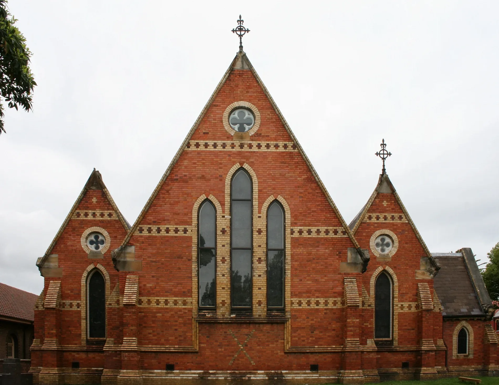
Old Chapel350 m
Duckmanton Drama Centre350 m
Le Couter Building400 m
Tupou College Centre400 m
AJ Rae Building600 m
Pyke Centre600 m
Chapels nearby
New Chapel450 m
Outdoor seatings nearby
Sesquicentenary Courtyard600 m
Parks nearby
Crammond Park200 m
Montague Gardens500 m
Ryan Park650 m
Sports pitches nearby
Basketball Court400 m
Johnson Oval500 m
Old Boys Oval 1550 m
Old Boys Oval 2550 m
Buchanan Oval 1650 m
Buchanan Oval650 m
Buchanan Oval 2650 m
Public transport map Stanmore Legend
| Railway | |
| Bus | |
| Tram |
Cycling map Stanmore Legend
| Cycle path | |
| Cycle lane on road | |
| Cycling on bus lane | |
| Bicycle street | |
| Cyclists allowed | |
| Cyclists allowed, good surface | |
| No cycling | |
| Cobblestones |
| Long-distance cycle route | (depending on scale) | |
| Long-distance cycle route |
Walking map Stanmore Legend
| Path |
| Long-distance hiking trail | (depending on scale) | |
| Long-distance hiking trail | ||
| No pedestrians |