
Regent Street in Petersham
Regent Street in Inner West Council is a minor road (50 km/h). It runs in a north-south direction starting from Trafalgar Street and crosses Fisher Street and ends at New Canterbury Road. The nearest bus stop in the vicinity is Trafalgar St opp Petersham Station (approx. 100 m away). Regent Street also exists in Summer Hill and Leichhardt.
- Road Type
- minor road
- Speed Limit
- 50
- Route
- north-south
Image
Cafés
Clothing shops
Clinic
Restaurants
Post offices
Stations
Platforms
Tobacconist's
Bus stops
Pubs
Frame shops
Car repair shops
Bicycle parkings
Roads nearby
Fisher StreetPetersham LPO
50 m
Chester StreetYẾN
200 m
Frederick StreetSuburgia
200 m
Abels Lane200 m
Railway StreetTaverners Hill Infants School, Railway St
200 m
Audley LaneCharlie's Deli
200 m
South AvenuePetersham
250 m
Sadlier CrescentThe Tiny Giant
250 m
Trafalgar Street Crossing250 m
Carrington Place250 m
Fishers Reserve300 m
Balanaming Lane300 m
Nelson Place300 m
James Street300 m
Oxford Street300 m
Small Lane300 m
Gordon Lane300 m
Searl Street300 m
Brighton Lane350 m
Station StreetBread & Stone
350 m
Little Brighton Street350 m
The Avenue350 m
Rosford Avenue350 m
Belgrave Street350 m
Shaw Street350 m
Gordon StreetOcean Blue, Gordon St at New Canterbury Rd, Gordon St before New Canterbury Rd
400 m
Audley StreetThe Counter, Seed Cuisine, Le-Mans Car Bay Body Repairs, Art Framing, Bon Gusto, Kubota Japanese Cuisine, Audley St opp Fisher St, Audley St at Fisher St, Silvas, Gloria’s Portuguese Restaurant, Broadview, Cignal
400 m
Trafalgar StreetGate A, Gate B, Petersham, Trafalgar St opp Petersham Station, Petersham RSL, Petersham Station, Trafalgar St
400 m
Maria Street400 m
Amenities nearby
Marrickville Council Building150 m
Buildings nearby
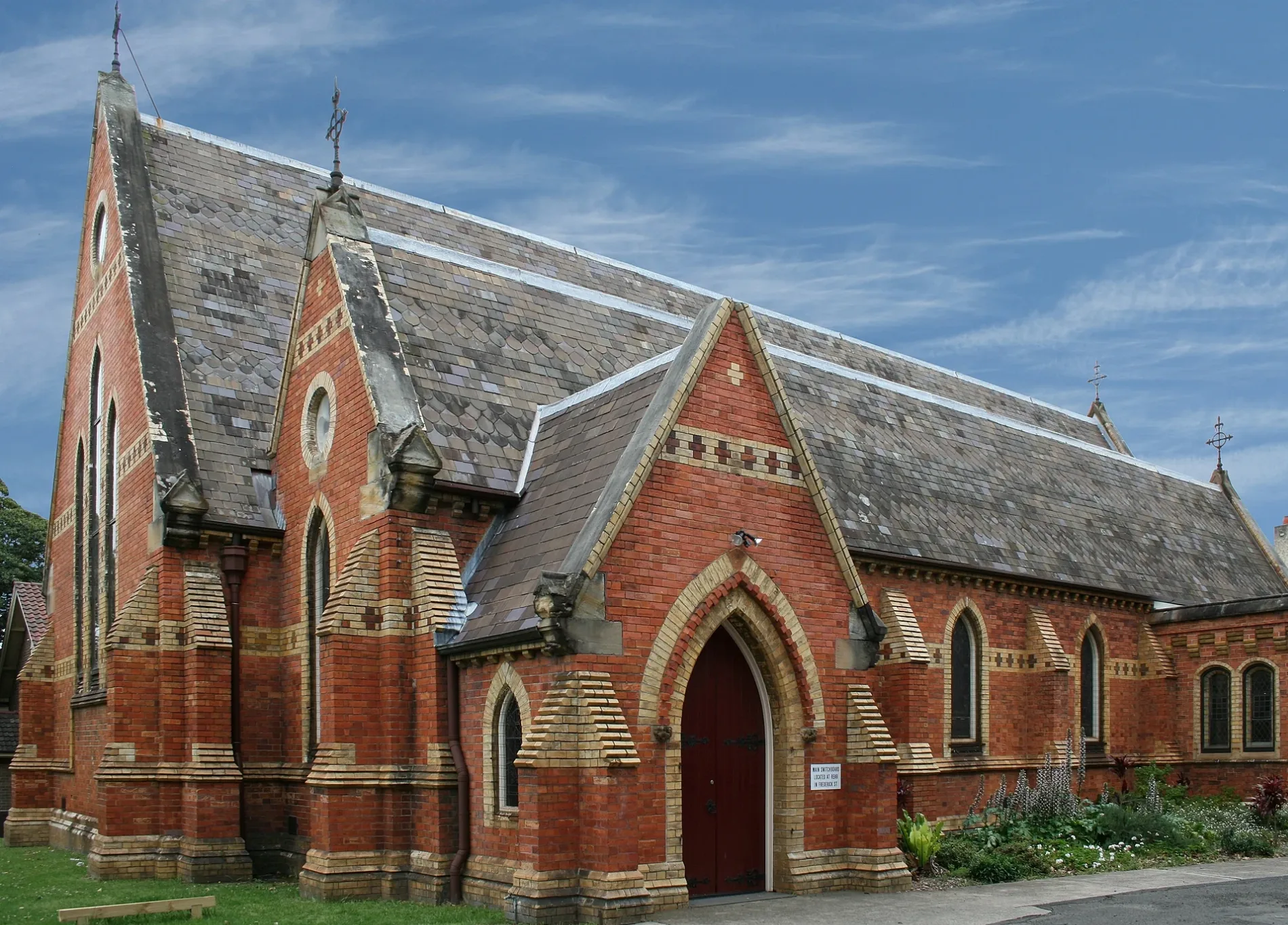
Royal Arch Masonic Centre100 m
Telephone Exchange150 m
Petersham Reservoir150 m
The Madison150 m
Uniting Locke Haven200 m
Petersham Signal Box200 m
Majestic300 m
Churches nearby
Assemblies of God Church100 m
Colleges nearby
S 3840150 m
S 4058200 m
3195200 m
Railway sites nearby
Petersham Railway Training College200 m
Railway stations nearby
Petersham Railway Station Former Building200 m
Residential buildings nearby
Montroy150 m
Kanimbla150 m
Ribbon200 m
Santa Maria400 m
Sports pitches nearby
Petersham Bowling Club400 m
Town halls nearby
Petersham Town Hall200 m
Public transport map Petersham Legend
| Railway | |
| Bus | |
| Tram |
Cycling map Petersham Legend
| Cycle path | |
| Cycle lane on road | |
| Cycling on bus lane | |
| Bicycle street | |
| Cyclists allowed | |
| Cyclists allowed, good surface | |
| No cycling | |
| Cobblestones |
| Long-distance cycle route | (depending on scale) | |
| Long-distance cycle route |
Walking map Petersham Legend
| Path |
| Long-distance hiking trail | (depending on scale) | |
| Long-distance hiking trail | ||
| No pedestrians |