
Hillcrest Street in Tempe
Hillcrest Street in Inner West Council is an asphalted, lit residential street. The road has sidewalks. It runs in a southeast-northwest direction starting from Hillcrest Lane and ends at Unwins Bridge Road. Hillcrest Street also exists in Canterbury-Bankstown Council, Central Coast Council, Strathfield Municipal Council and Wollongong City Council.
- Road Type
- residential street
- Route
- southeast-northwest
Image
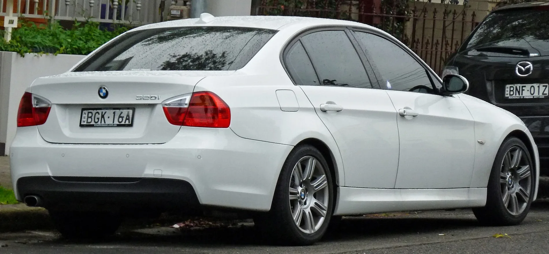
Car repair shops
Hi-fi shops
Places of worship
Stations
Bus stops
Petrol stations
Fast food restaurants
Garden centres
Platforms
Pubs
Roads nearby
Unwins Bridge Road50 m
John Street150 m
Hudson Street150 m
Samuel Street200 m
Hillcrest Lane200 m
Way Street200 m
Lymerston Street200 m
William Street200 m
Bridge Street200 m
Leslie Street200 m
Foreman Street250 m
Toyer Street250 m
Henry Street300 m
Edwin Street300 m
Terry Street350 m
Collins Street350 m
Milne Lane350 m
Ixion Lane350 m
Belmore Street400 m
Belmore Lane400 m
Park Road450 m
Railway RoadAustralian Martial Arts, Railway Rd opp Sydenham Green, Ho's Bakery & Cafe, Corner Store, Sydenham Green, Railway Rd, Sydenham Station, Burrows Av, Stand A
500 m
Marrickville Road East Cycle PathMarrickville Rd opp Barclay St, Ona Coffee, Blazing Burgers
500 m
Railway ParadeSydenham, Platform 2, Sydenham Station, Railway Pde, Stand C, Sydenham Station, Railway Pde, Stand D, Sydenham Station, Railway Pde, Stand B
500 m
Marrickville RoadCrust, Dulwich Hill Lodge, Dulwich Dental Services, Empire Cafe, Commonwealth Bank, Campos Coffee, Marrickville Rd opp Fairfowl St, Marrickville Rd at Darley St, Marrickville Rd at Robert St, Kebab Pizza Pide hiuse, Dulwich Hill Shops, Marrickville Rd, Marrickville Rd at Fairfowl St, Marrickville Rd before Wardell Rd, Marrickville Rd at Woodcourt St, Marrickville Rd at Harrison St, Marrickville Rd before Livingstone Rd, Medkare Medical Centre, Marrickville Rd before Victoria Rd, Marrickville Road Church, Marrickville, Bank of Sydney, Baby Rey's Burgers, Vinh Hung, Koon Dee, Marrickville Rd at Garners Av, Marrickville Rd at Gladstone St, Marrickville Rd before Illawarra Rd, Marrickville Hotel, Anglicare Op Shop, 108 Warehouse, King of the Pack, Barberworks, Man On Marrickville, Mitre 10, Souvlaki Boys, Nutrition Station, Marrickville Seafood, Air Liquide Healthcare, Koul, Marrickville Rd opp Marrickville Town Hall, Marrickville Town Hall, Marrickville Rd, Lumus Imaging Marrickville, Marrickville Rd at Victoria Rd, Donut Papi, Essential Supplements, Hong Phat Hot Bread, Shun Hing Long Grocery, Marrickville Tobacco & Gift, Kim Rose, Marrickville Rd opp Marrickville Library
500 m
Wright Street550 m
Southwest Link Shared PathMarrickville, Paesanella Food Emporium, Hungry Goat, Marrickville Rd at Barclay St, Sydenham, Platform 1, Bike Shed - Sydenham Station, Northern Plaza, Sindbad Cafe
550 m
Gerald Street550 m
Gleeson AvenueSydenham, EzyMart, Sydenham Station, Gleeson Av, Stand E
550 m
Buckley Lane600 m
Buckley Street600 m
Barclay Street600 m
Amenities nearby
Tillman Park Early Learning Centre300 m
Railways nearby
XPT Service Centre300 m
Sydenham Control Centre450 m
Bars nearby
Camelot Lounge500 m
Parks nearby
Tillman Park300 m
Memory Reserve500 m
Railway lines nearby
Down East Fork400 m
Up East Fork400 m
Port Botany Freight Line400 m
Down North Fork450 m
Up North Fork450 m
Down South Fork450 m
Recreation grounds nearby
Fraser Park500 m
School buildings nearby
Tempe Public School300 m
Sports centres nearby
Col Jones Swim Fitness250 m
Subway lines nearby
Up Sydney Metro City & Southwest350 m
Down Sydney Metro City & Southwest550 m
 Public transport map Tempe Legend
| Railway | |
| Bus | |
| Tram |
 Cycling map Tempe Legend
| Cycle path | |
| Cycle lane on road | |
| Cycling on bus lane | |
| Bicycle street | |
| Cyclists allowed | |
| Cyclists allowed, good surface | |
| No cycling | |
| Cobblestones |
| Long-distance cycle route | (depending on scale) | |
| Long-distance cycle route |
 Walking map Tempe Legend
| Path |
| Long-distance hiking trail | (depending on scale) | |
| Long-distance hiking trail | ||
| No pedestrians |