
Terry Street in Tempe
Terry Street in Inner West Council is an asphalted, lit residential street. The road has sidewalks. It runs in a southeast-northwest direction starting from Unwins Bridge Road and crosses Henry Street and ends at Princes Highway. Terry Street also exists in Rozelle.
- Road Type
- residential street
- Route
- southeast-northwest
Image
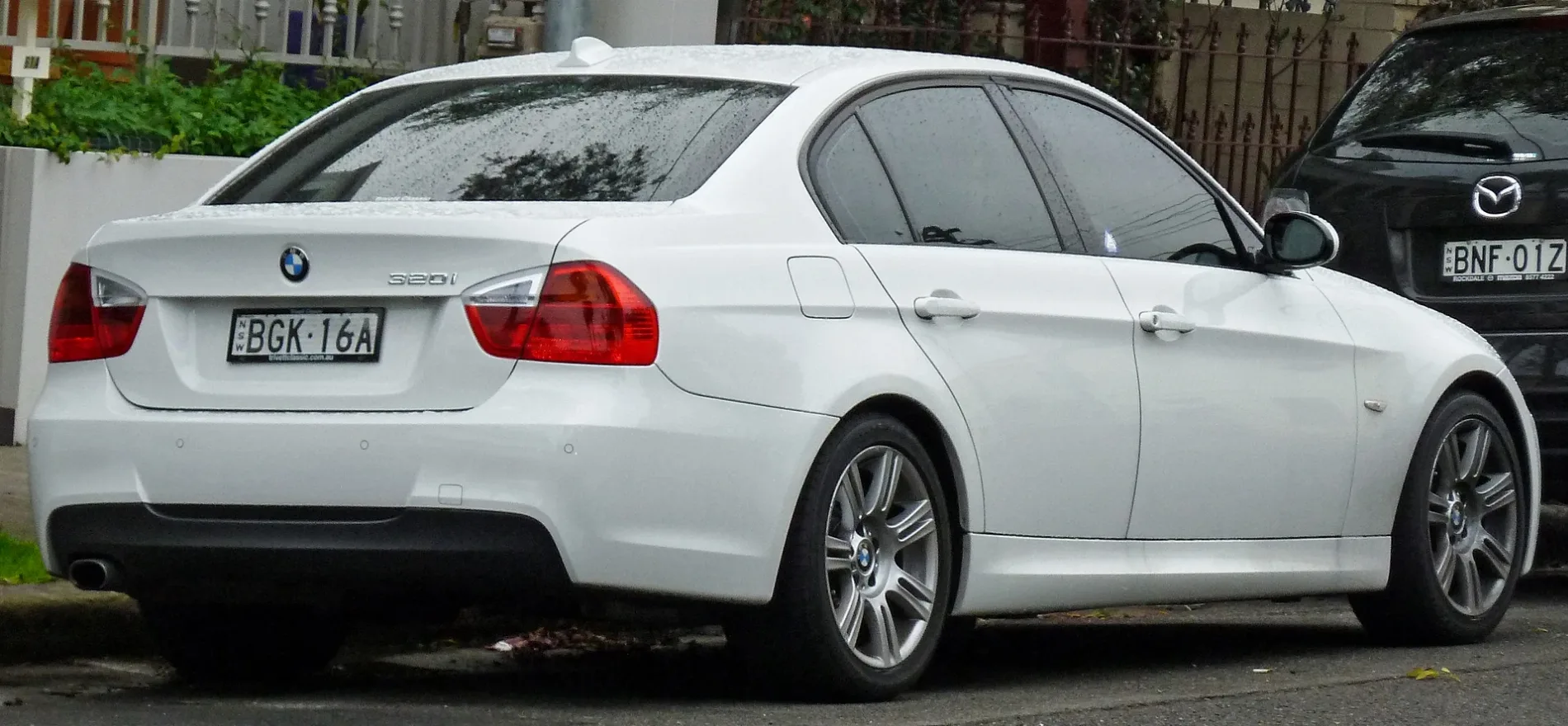
Car repair shops
Hi-fi shops
Places of worship
Pubs
Bus stops
Petrol stations
Fast food restaurants
Garden centres
Platforms
Roads nearby
Belmore Street50 m
Henry Street100 m
Park Road150 m
Samuel Street200 m
Park LaneSydenham
200 m
Belmore Lane200 m
Milne Lane200 m
Princes HighwayPrinces Hwy at Terry St, Harrys Cafe de Wheels, Princes Hwy after Station St, Princes Hwy at Fanning St, Kendrick Park, Princes Hwy, CMS Automotive, Princes Hwy before Smith St, Princes Hwy at Union St, Princes Hwy opp Fanning St, Ampol Foodary Tempe, Princes Hwy after Gannon St
250 m
Stewart Lane250 m
M8 Motorway Tunnel300 m
Talbot Street300 m
Railway Lane300 m
Unwins Bridge RoadSt Peters Library, Lookin Sharp Barbershop
350 m
Hilton Avenue350 m
Rowe Lane350 m
Motorway TunnelMetro Petroleum, Philly-Up, IKEA Tempe, Princes Hwy
350 m
Railway RoadAustralian Martial Arts, Railway Rd opp Sydenham Green, Ho's Bakery & Cafe, Corner Store, Sydenham Green, Railway Rd, Sydenham Station, Burrows Av, Stand A
350 m
Rowe Street350 m
Wright Street400 m
Reilly Lane450 m
George Street450 m
Lee Lane450 m
Gleeson AvenueSydenham, EzyMart, Sydenham Station, Gleeson Av, Stand E
450 m
Burrows AvenueSydenham, Tommy Black, Kiss and Ride
450 m
Swain Street450 m
Yelverton Street500 m
Bellevue StreetPetstock, Repco
500 m
Hogan Avenue550 m
Frederick Street600 m
Bolton StreetSydenham
600 m
Sutherland Street650 m
Amenities nearby
Tillman Park Early Learning Centre250 m
Bicycle parkings nearby
Bike Shed - Sydenham Station, Southern Plaza600 m
Buildings nearby
Marrickville SES350 m
Charity shops nearby
Salvos400 m
Disused railways nearby
James Siding400 m
Electronics shops nearby
The Good Guys300 m
Fast food restaurants nearby
Hungry Jack's550 m
Grass nearby
Air Navigation Facility450 m
Parks nearby
Tillman Park250 m
Sydenham Green250 m
Memory Reserve350 m
Francis Playground600 m
Petrol stations nearby
Payless Fuel550 m
Railway lines nearby
Port Botany Freight Line100 m
Railway stations nearby
Sydenham Station550 m
Sports shops nearby
Decathlon350 m
Subway lines nearby
Down Sydney Metro City & Southwest450 m
Up Sydney Metro City & Southwest500 m
 Public transport map Tempe Legend
| Railway | |
| Bus | |
| Tram |
 Cycling map Tempe Legend
| Cycle path | |
| Cycle lane on road | |
| Cycling on bus lane | |
| Bicycle street | |
| Cyclists allowed | |
| Cyclists allowed, good surface | |
| No cycling | |
| Cobblestones |
| Long-distance cycle route | (depending on scale) | |
| Long-distance cycle route |
 Walking map Tempe Legend
| Path |
| Long-distance hiking trail | (depending on scale) | |
| Long-distance hiking trail | ||
| No pedestrians |