
Gwabegar Line
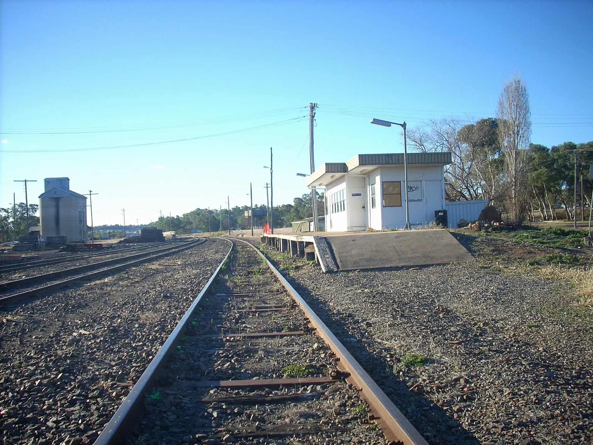
Gwabegar Line in Narrabri Shire Council is a disused railway. Gwabegar Line also exists in Warrumbungle Shire Council, Mid-Western Regional Council and Lithgow City Council. Ⓦ.
Image
Hofläden
Roads nearby
Silo Road150 m
Cypress Way300 m
Cox Street800 m
Chauvel Street1,0 km
Holmes Street1,1 km
Howes Street1,2 km
Bridges Street1,3 km
Anzac ParadeGwabgar Post Office
1,4 km
Rosenthal StreetGwabegar Police Station
1,4 km
Monash Street1,5 km
Ryrie Street1,6 km
Baradine Creek Road2,9 km
Halls Road3,3 km
Gwabegar Road3,9 km
Wangan Bore Road4,2 km
Wangan Road4,3 km
Heads Road4,3 km
Z Line Road4,6 km
Wombo Road4,7 km
Lords Road5,5 km
Etoo Bore RoadEtoo Bore
5,6 km
Squires Road5,8 km
Merebene Road6,2 km
A Line Road6,4 km
Eastburns Road6,4 km
A B Line Road7,7 km
Werona Road7,7 km
Underwoods Road7,9 km
Etoo Creek Road8,6 km
Camp Reserve Road8,7 km
Burtons Lane8,9 km
Wednesday Road9,4 km
Cemeteries nearby
Gwabegar Cemetery1,9 km
Fire stations nearby
Gwabegar Rural Fire Brigade1,2 km
Industrial areas nearby
Gwabegar Tip2,2 km
Parks nearby
Gwabegar Park1,5 km
Sports pitches nearby
Cricket1,3 km
Streams nearby
Quegobla Creek2,5 km
Etoo Creek8,1 km
| Length | 431.7 |
|---|---|
| Country | Australia |
Public transport map Gwabegar Legend
| Railway | |
| Bus | |
| Tram |
Cycling map Gwabegar Legend
| Cycle path | |
| Cycle lane on road | |
| Cycling on bus lane | |
| Bicycle street | |
| Cyclists allowed | |
| Cyclists allowed, good surface | |
| No cycling | |
| Cobblestones |
| Long-distance cycle route | (depending on scale) | |
| Long-distance cycle route |
Walking map Gwabegar Legend
| Path |
| Long-distance hiking trail | (depending on scale) | |
| Long-distance hiking trail | ||
| No pedestrians |