Great Western Highway in Oxley Park

Great Western Highway in Penrith City Council is an asphalted expressway (80 km/h). The road consists of two separate carriageways. It runs in a east direction and continues into High Street. It crosses Parker Street, Water Street, Gipps Street, Reserve Road, Werrington Road, Neale Street, Charles Hackett Drive, Pages Road, Princess Mary Street, Mamre Road, Collins Street and Monfarville Street and connects Kingswood, St Marys, Werrington, Colyton, Claremont Meadows and Oxley Park. This road is part of the long-distance road "A44". The nearest stops are Ridge Park Hall, Great Western Hwy, Great Western Hwy opp Day St and St Marys Cemetery, Great Western Hwy. The bus lines 770, 771, 772 and 835 serve this stop. Great Western Highway also exists in Emu Plains.

Road Type
expressway
Speed Limit
80
Lanes
3
Route
east-west

Image

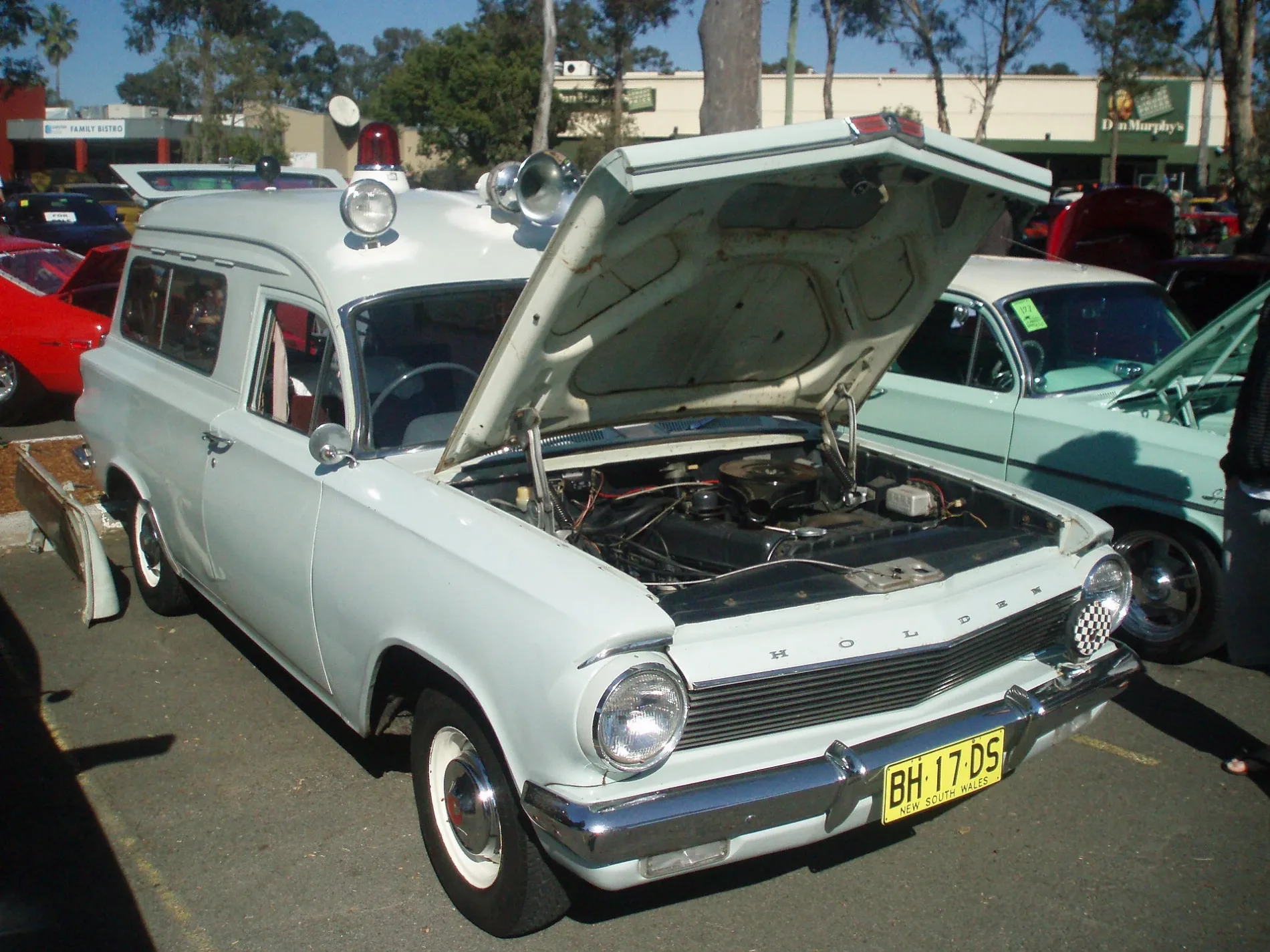
1963 Holden Ej Ambulance (5061236958)
1963 Holden EJ ambulance. Originally operated by Scottsdale Hospital in Tasmania. The ambulance was converted from a factory panel van. Ambulance modifications included an side windows, attendant's seat and custom built front seats in place of the regular bench seat. The colour is Coolibah Grey, a very pale shade of grey, believed to have been chosen because white was not available on EJ Holden commercials. Taken at a car show hosted by the EH & EJ Holden Car Club. – sv1ambo, cc by – Wikimedia Commons

Bus stops

  • Ridge Park Hall, Great Western Hwy.
  • Great Western Hwy opp Day St.
  • St Marys Cemetery, Great Western Hwy.
  • bus lines 770, 771, 772, 835

Roads nearby

Roper Road
Colyton Hotel, Hewitt St at Francis St, Hewitt St after Great Western Hwy, Roper Rd after Carlisle Av, Roper Rd opp Carlisle Av
150 m
Melbourne Street
Melbourne St opp Canberra St, Melbourne St opp Brisbane St, Melbourne St at Brisbane St, Melbourne St at Canberra St
200 m
Great Western Highway
Great Western Hwy before Marsden Rd, Great Western Hwy at Day St
200 m
Valma Place
200 m
Francis Street
250 m
Simpson Hill Road
300 m
Goldie Place
350 m
Edwin Street
400 m
Dalton Street
450 m
Craig Avenue
500 m
Sage Street
500 m
Ryan Place
500 m
Albert Street
500 m
Cooinda Street
600 m
Ironbark Way
600 m
Hendren Place
600 m
Iron Bark Way
600 m
Elebana Street
650 m
Carpenter Street
Carpenter St before Hewitt St, Carpenter St at Bennett Rd, Carpenter St opp Dalton St, Carpenter St after Dalton St, Carpenter St at Kent Pl, Carpenter St opp Colyton High School, Colyton High School, Carpenter St, Carpenter St after Hewitt St, The Godfather Pizza, Carpenter St at Day St, Carpenter St at Leonard St, Carpenter St before Parkin Rd, Carpenter St opp Leonard St, Carpenter St before Marsden Rd, Top Kuts Barber Shop, Simo's Takeaway, Colyton Pharmacy
650 m
Sheoak Place
650 m
Orchid Close
650 m
Patricia Street
650 m
Shane Street
700 m
Coral Pea Court
700 m
Lennox Street
700 m
Blueberry Drive
700 m
Allambi Street
750 m
Hewitt Street
Hewitt St opp Allambi St, Hewitt St at Tanderra St, Hewitt St opp Tanderra St, Hewitt St before Hendren Pl, Hewitt St opp Albany Lane, Colyton Shopping Centre, Hewitt St, Hewitt St after Roper Rd
750 m
Creek Street
750 m
Sykes Place
750 m
Bottlebrush Place
750 m
Tulipwood Drive
800 m
Tanderra Street
Colyton
800 m
Tea Tree Way
850 m
Milton Street
900 m
Burford Street
900 m
Desborough Road
Bennett Road Public School, Desborough St, Desborough St after Barr St, Desborough St opp Bennett Road Public School, Desborough St at Burford St, Desborough Rd at Parkin Rd, Desborough Rd after Holmes St, Desborough St after Blamey St, Desborough Rd opp Holmes St
900 m
Thorpe Street
900 m