
Maraylya
Maraylya is located in The Hills Shire Council. About 1,244 people live here (as of 2016). Between 2016 and 2021, the population grew from 1,244 to 1,281. Maraylya has around 108 streets. The postal codes are 2765. Maraylya is locality in New South Wales, Australia. Among other things, Maraylya has public transport and schools.
Maraylya – Facts
| Inhabitants | 1244 |
|---|---|
| Located in | New South Wales, City of Hawkesbury |
| Postal code | 2765 |
| Country | Australia |
Data source: Wikidata (CC0)
Photos from Maraylya
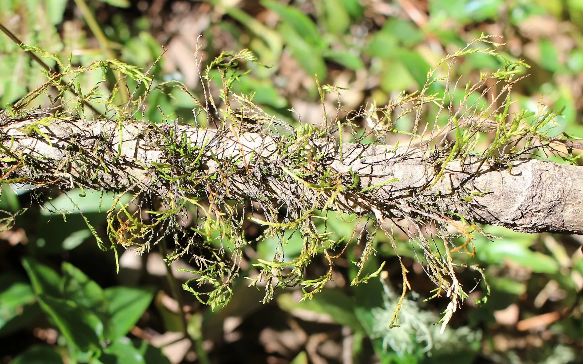
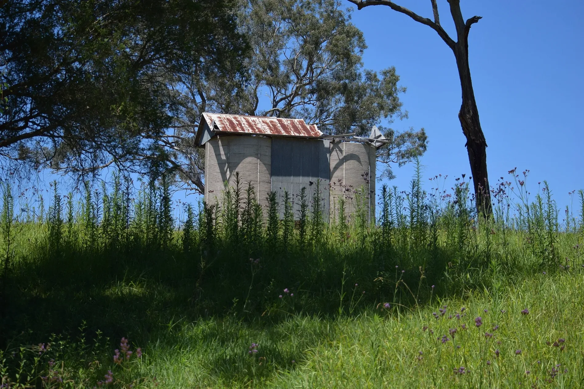
Roads in Maraylya
Roads
Boundary Road
Boundary Rd opp Dunns Rd, Boundary Rd at Pitt Town Dural Rd (Hail and Ride), Boundary Rd at Cattai Ridge Rd (Hail and Ride), Maraylya Public School, Boundary Rd, Boundary Rd opp Maraylya Public School, Boundary Rd at Dunns Rd
Fisher RoadFisher Rd at Reedy Rd, 48-54 Fisher Rd, Fisher Rd at Pitt Town Dural Rd, 49 Fisher Rd
Pitt Town RoadBP Service Station, Pitt Town Rd before Maguires Rd, Pitt Town Rd opp Maguires Rd, Pitt Town Rd after Maguires Rd
Reedy RoadReedy Rd at St Johns Rd (Hail and Ride), Reedy Rd at Fisher Rd, Reedy Rd opp St Johns Rd (Hail and Ride)
Neich RoadMaraylya Public School, Neich Rd
Creek Flat Roadgates locked at 5pm everyday, Cattai National Park, Field Study Centre
St Johns RoadSt Johns Rd at Cattai Rdge Rd (Hail and Ride)
The Rainforest WalkPark Map
Lagoon Walking TrackLongneck Lagoon Environmental Education Centre
Scribbly Gum Forest TrackScribbly Gum Forest
Ridge Trail
Tall Timbers Track
Melaleuca Trail
Mitchell Park Road
Forrester Place
Whitmore Road
Janpieter Road
Pipeline Trail
Pebbly Hill Road
Education Centre Track
Old Man Banskia Track Loop
Satvic Place
Creek Flat Trail
Dunns Road
Creek Flat Track
Birds Lane
Cattai Road
Pitt Town Dural Road
Greenfield Place
The Wetlands Walk
Maguires Road
St Marys Place
Old Man Banksia Track
Mewton Road
McClymonts Road
Phipps Road
Cattai Ridge Road
Education Centre Trail
Millers RoadBody of waters
Buildings
Parks
Rivers
Wetlands
Public transport map Maraylya Legend
| Railway | |
| Bus | |
| Tram |
Cycling map Maraylya Legend
| Cycle path | |
| Cycle lane on road | |
| Cycling on bus lane | |
| Bicycle street | |
| Cyclists allowed | |
| Cyclists allowed, good surface | |
| No cycling | |
| Cobblestones |
| Long-distance cycle route | (depending on scale) | |
| Long-distance cycle route |
Walking map Maraylya Legend
| Path |
| Long-distance hiking trail | (depending on scale) | |
| Long-distance hiking trail | ||
| No pedestrians |