
The Rainforest Walk in Maraylya
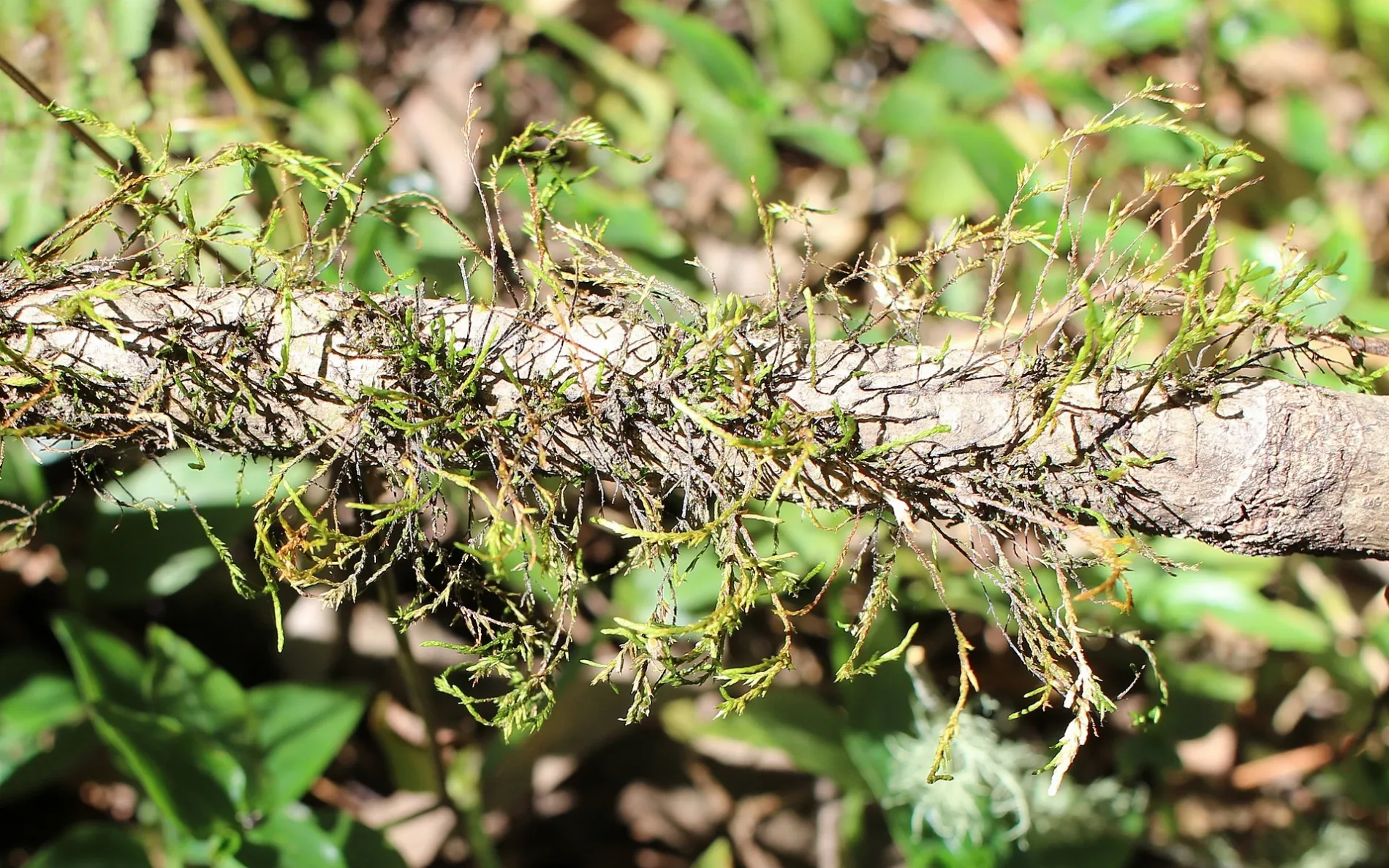
The Rainforest Walk in The Hills Shire Council is an unpaved path. The trail markings are good. It runs in a north-south direction starting from Creek Flat Road and ends in a cul-de-sac. In the vicinity, there is a tourist information.
- Road Type
- path
- Route
- north-south
Image
Tourist information offices
Roads nearby
Tall Timbers Track300 m
Old Man Banksia Track400 m
Education Centre Track450 m
Creek Flat Track500 m
Education Centre Trail500 m
Creek Flat Trail500 m
Old Man Banskia Track Loop550 m
Scribbly Gum Forest TrackScribbly Gum Forest
600 m
Pipeline Trail650 m
Ridge Trail650 m
The Wetlands Walk750 m
Creek Flat Roadgates locked at 5pm everyday, Cattai National Park, Field Study Centre
900 m
Willows Park Grove1000 m
Melaleuca Trail1000 m
Reedy RoadReedy Rd at St Johns Rd (Hail and Ride), Reedy Rd at Fisher Rd, Reedy Rd opp St Johns Rd (Hail and Ride)
1,1 km
Fisher RoadFisher Rd at Reedy Rd, 48-54 Fisher Rd, Fisher Rd at Pitt Town Dural Rd, 49 Fisher Rd
1,2 km
Mitchell Park Road1,4 km
Halcrows Road1,4 km
St Johns RoadSt Johns Rd at Cattai Rdge Rd (Hail and Ride)
1,5 km
Nelson Road1,6 km
Old Post Office Road1,6 km
Pebbly Hill Road1,7 km
Smallwood Road1,8 km
Preston Close2,0 km
Wisemans Ferry Road2,1 km
Forrester Place2,1 km
Cattai Road2,1 km
Newman Road2,1 km
Cattai Ridge Road2,2 km
Dillwynia Avenue2,2 km
Correa Avenue2,2 km
Jaceva Place2,3 km
Millers Road2,3 km
Wianamatta Circuit2,5 km
Boundary RoadBoundary Rd at Pitt Town Dural Rd (Hail and Ride), Boundary Rd at Cattai Ridge Rd (Hail and Ride), Boundary Rd opp Dunns Rd, Maraylya Public School, Boundary Rd, Boundary Rd opp Maraylya Public School, Boundary Rd at Dunns Rd
2,6 km
Pitt Town Dural Road2,7 km
Themeda Place2,7 km
Aristida Avenue2,7 km
Phipps Road2,8 km
Amphitheatre Trail2,9 km
Mewton Road2,9 km
Gracemere Crescent2,9 km
Buildings nearby
Field Study Centre450 m
Houses nearby
6 Brandywell Close2,9 km
Rivers nearby
Cattai Creek300 m
Streams nearby
Fairs Creek1,5 km
Batts Hollow Gully3,2 km
Wetlands nearby
Reedy Swamp550 m
Broadwater Swamp2,0 km
Public transport map Maraylya Legend
| Railway | |
| Bus | |
| Tram |
Cycling map Maraylya Legend
| Cycle path | |
| Cycle lane on road | |
| Cycling on bus lane | |
| Bicycle street | |
| Cyclists allowed | |
| Cyclists allowed, good surface | |
| No cycling | |
| Cobblestones |
| Long-distance cycle route | (depending on scale) | |
| Long-distance cycle route |
Walking map Maraylya Legend
| Path |
| Long-distance hiking trail | (depending on scale) | |
| Long-distance hiking trail | ||
| No pedestrians |